Bar Harbor, ME → Orlando, FL

1708 mi · 28h 37m (driving)

⚠️

Current Risk

Medium Risk

Beach Hazards Statement in effect along your route

Better time to leave

Check hourly forecast

Based on weather forecast

Add traffic to your estimate
🌤️

Bar Harbor

76°

🌤️

40.4°

75°

36.5°

84°

32.5°

86°

☀️

Orlando

92°

Wind gusts up to 18 mph — allow extra time

GOING
Fri, Aug 14

Trip Briefing

4 segments · 1708 mi · 28h 38m

Weather

🌤️ Mainly clear

75°F, wind 7 mph

Rest Stops

29

Restrooms, Truck svc, Picnic

Cameras

4 live

Clear driving conditions expected

Rest stops in this segment:

  • Rest Area 🚻
  • Rest Area 🚻
  • Rest Area

Weather May Slow Traffic

Active weather advisory — expect slower travel

Loading map...

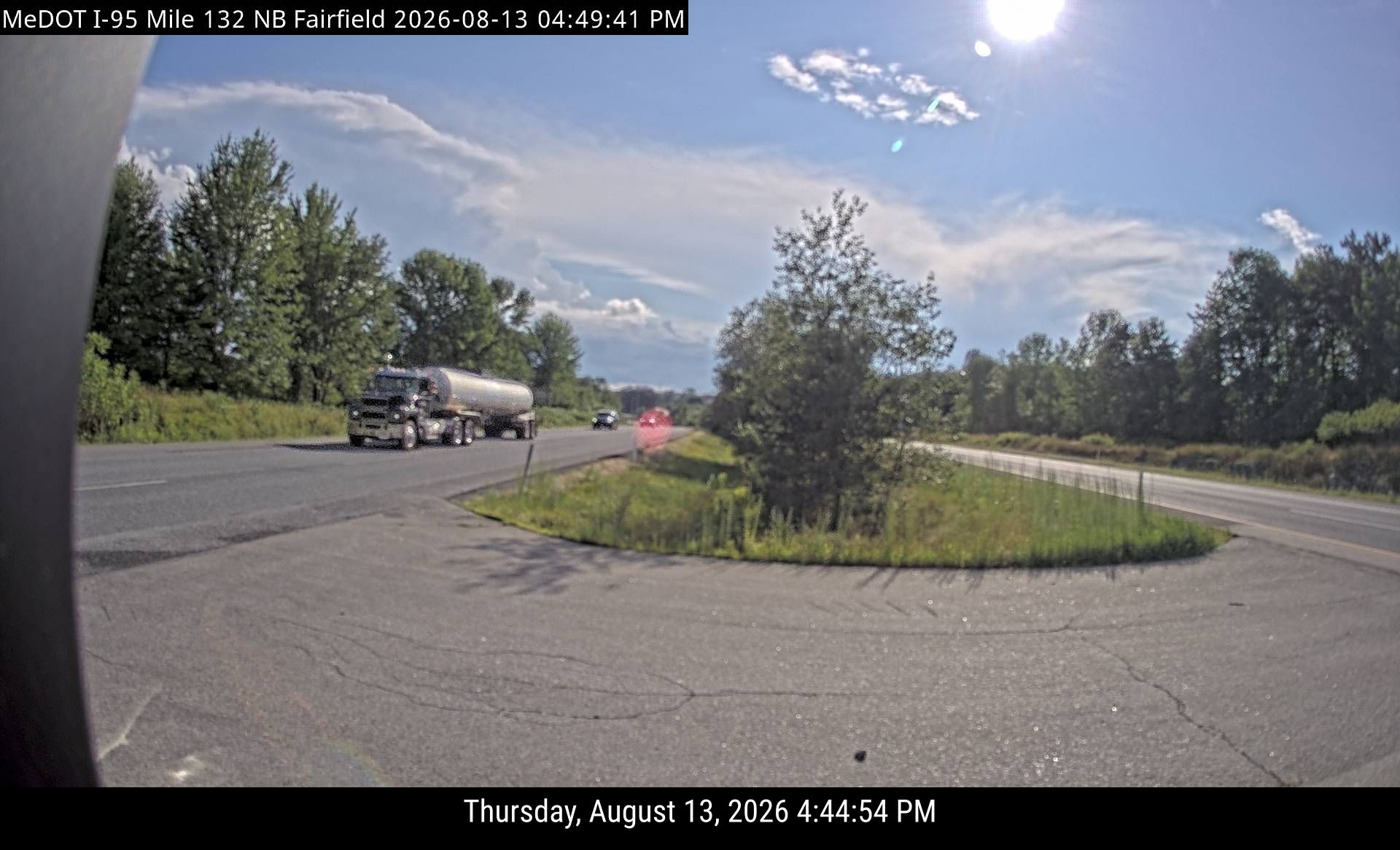
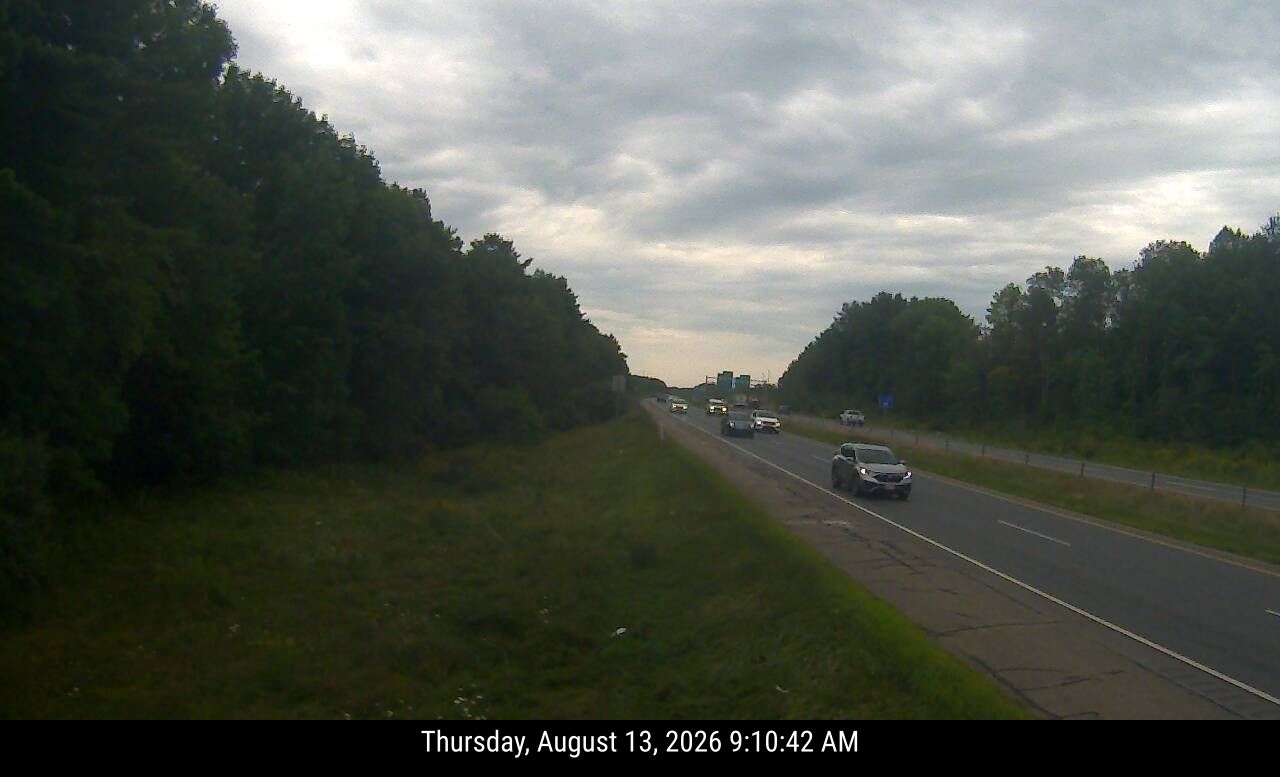
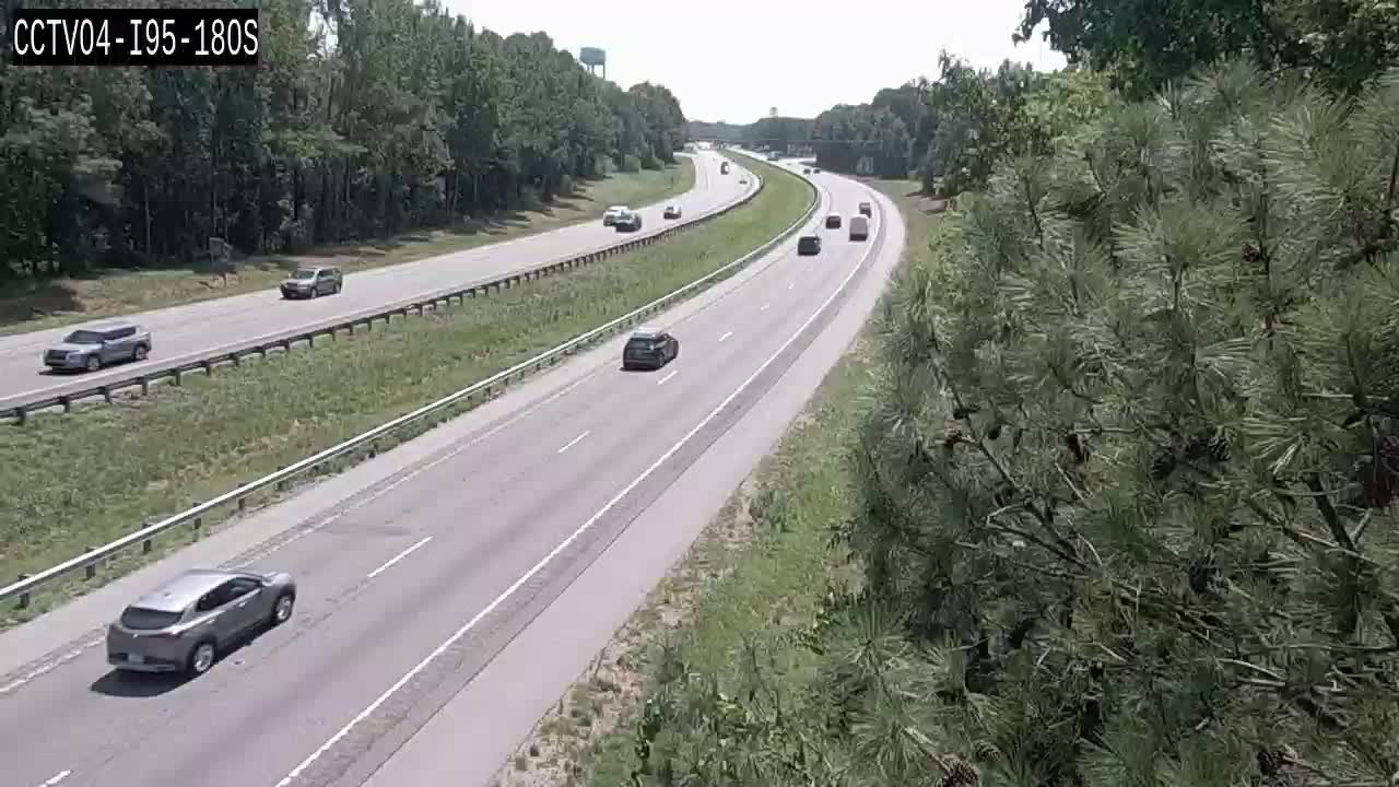
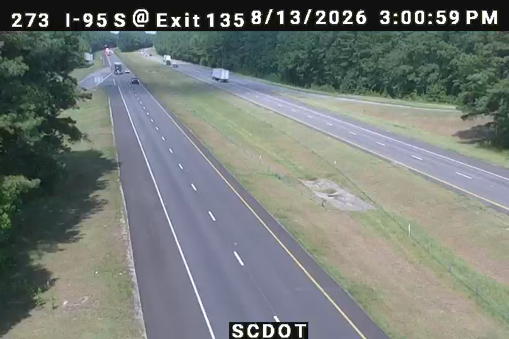
Traffic Cameras

See recent road conditions along your route

Images are snapshots updated periodically by state DOTs. Timestamps shown in images indicate when each photo was captured.

View all cameras

Choose your route:

Selected Route

Via US-1 → I-395 West → ... → SR-9B → I-4 West

ME 3US-1I-395 WestI-95 SouthI-295 South +21 more

Cameras shown are along this computed route

Need a custom route?
I-95
12 cameras
I-95 Mile 138 SB (Clinton)
1

I-95 Mile 138 SB (Clinton)

ME · SB

I-95 Mile 132 SB (Fairfield New)
2

I-95 Mile 132 SB (Fairfield New)

ME · SB

I-95 Mile 132 SB (Fairfield)
3

I-95 Mile 132 SB (Fairfield)

ME · SB

I-95 Mile 112 SB (Augusta)
4

I-95 Mile 112 SB (Augusta)

ME · SB

CAM 31 Westport I-95 SB Exit 17 - Saugatuck Ave.
5

CAM 31 Westport I-95 SB Exit 17 - Saugatuck Ave.

Westport, CT · SB
I-95 / MM 164.9 / SB
6

I-95 / MM 164.9 / SB

Fairfax, VA ·

VDOT 511
I-95 / MM 149.1 / SB
7

I-95 / MM 149.1 / SB

Fairfax, VA ·

VDOT 511
CCTV04-I95-180S
8

CCTV04-I95-180S

Northampton, NC ·

CCTV06-I95-65S
9

CCTV06-I95-65S

Cumberland, NC ·

10273
10

10273

Columbia, SC · SB

GDOT-1255: I-95 S before SR21 MM 110.2 (Chatham)
11

GDOT-1255: I-95 S before SR21 MM 110.2 (Chatham)

GA · SB

I-95 S of Bowden Rd
12

I-95 S of Bowden Rd

FL · SB

Rest Stops Along Your Route

188 stops available

Swipe to see more

Rest Area

Near start

Open
Restrooms

Rest Area

Near start

Open
Restrooms

Rest Area

7% along route

Open
Restrooms
Fuel
Food

Rest Area

8% along route

Open
Restrooms

West Gardiner Service Plaza

9% along route

Open
Restrooms

Kennebunk Service Plaza

13% along route

Open
Restrooms

Kennebunk Service Plaza

13% along route

Open
Restrooms

Rest Area

15% along route

Open
Restrooms

Rest Area

15% along route

Open
Restrooms
Fuel
Food

TA

0211 • 15% along route

Open
Restrooms
Fuel
Food

Hampton Liquor and Wine Outlet Southbound

SB • 16% along route

Open
Restrooms

Hampton Liquor and Wine Outlet Northbound

NB • 16% along route

Open
Restrooms

Seabrook Rest Area

16% along route

Open
Restrooms

I 95 SB Salisbury Rest Area

SB • 16% along route

Open
Restrooms

I-495 Rest Area

16% along route

Open
Restrooms

I-495 Rest Area

17% along route

Open
Restrooms

Salem Rest Area and Welcome Center

17% along route

Open
Restrooms

Rest Area

18% along route

Open
Restrooms

Rest Area

18% along route

Open
Picnic

Charlton Service Plaza Westbound

WB • 21% along route

Open
Restrooms

Charlton Service Plaza Eastbound

EB • 22% along route

Open
Restrooms

Rest Area

22% along route

Open
Restrooms

Pilot Travel Center

22% along route

Open
Restrooms
Fuel
Food

Rest Area

22% along route

Open
Restrooms

Love's Travel Stop

646 • 23% along route

Open
Restrooms
Fuel
Food

Love's Travel Stop

23% along route

Open
Restrooms
Fuel
Food

TA

0022 • 23% along route

Open
Restrooms
Fuel
Food

West Willington Rest Area Westbound

WB • 23% along route

Open
Restrooms

Pride Truck Stop

25% along route

Open
Restrooms
Fuel
Food

Rest Area

26% along route

Open
Restrooms

Jennifer Hodges Memorial Rest Area

26% along route

Open
Restrooms

Wallingford Rest Area

26% along route

Open
Restrooms

Rest Area

27% along route

Open
Restrooms

Rest Area

27% along route

Open
Restrooms

Milford Travel Plaza Southbound

SB • 28% along route

Open
Restrooms

Pilot Travel Center

28% along route

Open
Restrooms
Fuel
Food

Rest Area

28% along route

Open
Restrooms

Rest Area

28% along route

Open
Restrooms

RT. 15 Fairfield SB Service Plaza

SB • 29% along route

Open
Restrooms

I-95 Fairfield SB Service Plaza

SB • 29% along route

Open
Restrooms

TOWN FAIR TIRE

30% along route

Open
Restrooms

Rest Area

30% along route

Open
Restrooms

RT. 15 New Canaan SB Service Plaza

SB • 30% along route

Open
Restrooms

Rest Area

30% along route

Open
Restrooms

Rest Area

30% along route

Open
Restrooms

Rest Area

31% along route

Open
Restrooms

Vince Lombardi Service Area

32% along route

Open
Restrooms

Rest Area

33% along route

Open
Restrooms

Alexander Hamilton Service Area

33% along route

Open
Restrooms

Rest Area

33% along route

Open
Restrooms

Pilot Travel Center

33% along route

Open
Restrooms
Fuel
Food

Rest Area

33% along route

Open
Restrooms

BUS STOP

33% along route

Open
Restrooms

Whitney Houston Service Area

33% along route

Open
Restrooms

Thomas Edison Service Area

34% along route

Open
Restrooms

Grover Cleveland Service Area

34% along route

Open
Restrooms

Jon Bon Jovi Service Area

34% along route

Open
Restrooms

Rest Area

34% along route

Open
Restrooms

Joyce Kilmer

35% along route

Open
Restrooms

Molly Pitcher Service Area

35% along route

Open
Restrooms
Picnic
WiFi

Woodrow Wilson Service Area

36% along route

Open
Restrooms

Richard Stockton Travel Plaza

36% along route

Open
Restrooms

Love's Travel Stop

404 • 37% along route

Open
Restrooms
Fuel
Food

Petro Stopping Centers

0314 • 37% along route

Open
Restrooms
Fuel
Food

James Fenimore Service Area

38% along route

Open
Restrooms

Rest Area

38% along route

Open
Restrooms
Fuel
Food

Walt Whitman Service Area

38% along route

Open
Restrooms

TA

0218 • 39% along route

Open
Restrooms
Fuel
Food

Clara Barton Service Area

40% along route

Open
Restrooms

John Fenwick Service Area

40% along route

Open
Restrooms

Rest Area

40% along route

Open
Restrooms

Deepwater Rest Area

40% along route

Open
Restrooms
Mo-Su 07:30-15:45 Directions

Pilot Travel Center

253 • 40% along route

Open
Restrooms
Fuel
Food

Rest Area

40% along route

Open
Restrooms
Fuel
Food

Flying J Travel Center

688 • 40% along route

Open
Restrooms
Fuel
Food

Rest Area

41% along route

Open
Restrooms

Rest Area

41% along route

Open
Restrooms

TA

0019 • 42% along route

Open
Restrooms

Flying J Travel Center

42% along route

Open
Restrooms
Fuel
Food

Flying J Travel Center

42% along route

Open
Restrooms
Fuel
Food

Chesapeake House

43% along route

Open
Restrooms

ONE9 Travel Center

43% along route

Open
Restrooms
Fuel
Food
WiFi

Maryland House Service Area

44% along route

Open
Restrooms

TA

0216 • 45% along route

Open
Restrooms
Fuel
Food

Rest Area

46% along route

Open
Restrooms

TA

0151 • 46% along route

Open
Restrooms
Fuel
Food

Rest Area

47% along route

Open
Restrooms

Rest Area

48% along route

Open
Restrooms

Rest Area

50% along route

Open
Restrooms

Rest Area

50% along route

Open
Restrooms

Dale City Car-Only Safety Rest Area North

50% along route

Open
Restrooms

Dale City Car-Only Safety Rest Area South

50% along route

Open
Restrooms

Ladysmith Safety Rest Area south

53% along route

Open
Restrooms

Ladysmith Safety Rest Area North

53% along route

Open
Restrooms

Mr. Fuel Travel Center

53% along route

Open
Restrooms
Fuel
Food

Flying J Travel Center

876 • 53% along route

Open
Restrooms
Fuel
Food
WiFi

Love's Travel Stop

435 • 53% along route

Open
Restrooms
Fuel
Food

Flying J Travel Center

53% along route

Open
Restrooms
Fuel
Food

TA

0001 • 53% along route

Open
Restrooms
Fuel
Food

TA

0142 • 54% along route

Open
Restrooms
Fuel
Food

Dorey Park Maintenance Facility

55% along route

Open
Restrooms

Pilot Travel Center

56% along route

Open
Restrooms
Fuel
Food

Love's Travel Stop

56% along route

Open
Restrooms
Fuel
Food

Roady's Truck Stops

56% along route

Open
Restrooms
Fuel
Food

Carson Safety Rest Area

57% along route

Open
Restrooms

Davis Travel Centers - Stony Creek

57% along route

Open
Restrooms
Fuel
Food

Pilot Travel Center

59% along route

Open
Restrooms
Fuel
Food

Pilot Travel Center

59% along route

Open
Restrooms
Fuel
Food

Love's Travel Stop

317 • 59% along route

Open
Restrooms
Fuel
Food

Virginia Welcome Center

59% along route

Open
Restrooms

Rest Area

59% along route

Open
Restrooms

Rest Area

59% along route

Open
Restrooms

North Carolina Welcome Center

59% along route

Open
Restrooms

ONE9 Travel Center

58 • 59% along route

Open
Restrooms
Fuel
Food
WiFi

Southbound Nash County Rest Area

SB • 62% along route

Open
Restrooms

Northbound Nash County Rest Area

NB • 62% along route

Open
Restrooms

I-95 Southbound ─ Johnston County

SB • 64% along route

Open
Restrooms

Rest Area

66% along route

Open
Restrooms

Rest Area

66% along route

Open
Restrooms

Love's Travel Stop

412 • 66% along route

Open
Restrooms
Fuel
Food

Pilot Travel Center

67% along route

Open
Restrooms
Fuel
Food

Cumberland County I-95 Southbound Rest Area

SB • 68% along route

Open
Restrooms

Rest Area

70% along route

Open
Restrooms
Fuel
Food

North Carolina Welcome Center

70% along route

Open
Restrooms

Rest Area

71% along route

Open
Restrooms

Rest Area

71% along route

Open
Restrooms
Fuel
Food

Love's Travel Stop

371 • 71% along route

Open
Restrooms
Fuel
Food

Pilot Travel Center

72% along route

Open
Restrooms
Fuel
Food

Flying J Travel Center

72% along route

Open
Restrooms
Fuel
Food

Buc-ee's

73% along route

Open
Restrooms
Fuel
Food

Pilot Travel Center

73% along route

Open
Restrooms
Fuel
Food

Petro Stopping Centers

0393 • 73% along route

Open
Restrooms
Fuel
Food

Pilot Travel Center

73% along route

Open
Restrooms
Fuel
Food

TA

0195 • 73% along route

Open
Restrooms
Fuel
Food

Rest Area

75% along route

Open
Restrooms

Rest Area

75% along route

Open
Restrooms

TA

0179 • 76% along route

Open
Restrooms
Fuel
Food

Love's Travel Stop

77% along route

Open
Restrooms
Fuel
Food

Rest Area

77% along route

Open
Restrooms

Rest Area

77% along route

Open
Restrooms

Pilot Travel Center

78% along route

Open
Restrooms
Fuel
Food

Flying J Travel Center

79% along route

Open
Restrooms
Fuel
Food

Rest Area

79% along route

Open
Restrooms

Rest Area

79% along route

Open
Restrooms

Rest Area

81% along route

Open
Restrooms
Picnic

Rest Area

81% along route

Open
Restrooms
Picnic

Love's Travel Stop

81% along route

Open
Restrooms
Fuel
Food

QuikTrip

7135 • 83% along route

Open
Restrooms
Fuel
Food

Pilot Travel Center

83% along route

Open
Restrooms
Fuel
Food

South Carolina Welcome Center - Hardeeville

83% along route

Open
Restrooms

Rest Area

84% along route

Open
Restrooms

Georgia Visitor Information Center

84% along route

Open
Restrooms
Fuel
Food

Pilot Travel Center

84% along route

Open
Restrooms
Fuel
Food

Rest Area

84% along route

Open
Restrooms

Rest Area

84% along route

Open
Restrooms
Fuel
Food

Rest Area

84% along route

Open
Restrooms
Fuel
Food

Love's Travel Stop

84% along route

Open
Restrooms
Fuel
Food

Mr. Fuel Travel Center

84% along route

Open
Restrooms
Fuel
Food

Fire Station

85% along route

Open
Restrooms

Love's Travel Stop

85% along route

Open
Restrooms
Fuel
Food

TA

0177 • 85% along route

Open
Restrooms
Fuel
Food

Rest Area

86% along route

Open
Restrooms

Rest Area

87% along route

Open
Restrooms

Rest Area

88% along route

Open
Restrooms

Flying J Travel Center

627 • 89% along route

Open
Restrooms
Fuel
Food

Love's Travel Stop

89% along route

Open
Restrooms
Fuel
Food

QuikTrip

7136 • 89% along route

Open
Restrooms
Fuel
Food

Rest Area

89% along route

Open
Restrooms

TA

0258 • 89% along route

Open
Restrooms
Fuel
Food

Pilot Travel Center

90% along route

Open
Restrooms
Fuel
Food

Pilot Travel Center

90% along route

Open
Restrooms
Fuel
Food

Georgia Visitor Information Center

90% along route

Open
Restrooms

Rest Area

90% along route

Open
Restrooms

Official Florida Welcome Center

20310 • 90% along route

Open
Restrooms
Info

Rest Area

90% along route

Open
Restrooms

Love's Travel Stop

603 • 91% along route

Open
Restrooms
Fuel
Food

Love's Travel Stop

91% along route

Open
Restrooms
Fuel
Food

Saint Johns County Rest Area I-95 Southbound

20322 • SB • 93% along route

Open
Restrooms

TA

0248 • 93% along route

Open
Restrooms
Fuel
Food

Pilot Travel Center

93% along route

Open
Restrooms
Fuel
Food

Buc-ee's

94% along route

Open
Restrooms
Fuel
Food

Flying J Travel Center

Near destination

Open
Restrooms
Fuel
Food

Rest Area

Near destination

Open
Restrooms
Fuel
Food

20332 Rest Area

20332 • Near destination

Open
Restrooms

20331 Rest Area

20331 • Near destination

Open
Restrooms

50221 Rest Area

50221 • Near destination

Open
Restrooms

50222 Rest Area

50222 • Near destination

Open
Restrooms

Option Cargo Express

Near destination

Open
Restrooms
🔔

Get Weather Alerts for This Route

We'll notify you when conditions change before your trip. Never drive into a surprise storm again.

Recent Weather Events on This Route

Premium users received alerts for these conditions:

  • 🌧️
    Aug 12: Rain advisory for afternoon departures
  • ❄️
    Aug 10: Snow expected at higher elevations - consider earlier departure
  • 🌫️
    Aug 7: Dense fog warning for morning travel

Don't miss the next alert →

Driving from Bar Harbor, ME to Orlando, FL covers 1708 miles in roughly 28h 37m of drive time, crossing state lines. We track 12 live traffic cameras, 188 rest areas and 2 active weather alerts along this corridor so you can plan around them. On a drive this length, weather can change dramatically between stops. Use the segment-by-segment forecast below to time your route.

7-Day Driving Outlook

Today

Aug 14

🌤️🌦️

76° / 71°

No precip

Caution

Tomorrow

Aug 15

77° / 57°

No precip

Safe

Sun

Aug 16

☁️🌦️

74° / 57°

No precip

Safe

Mon

Aug 17

🌧️🌦️

64° / 58°

No precip

Risky

Tue

Aug 18

☁️🌦️

78° / 60°

No precip

Caution

Wed

Aug 19

🌤️🌦️

77° / 62°

No precip

Caution

Thu

Aug 20

🌧️🌦️

70° / 64°

No precip

Risky

🗓️ Weekend Outlook

Saturday

Good to Go

⛅ Partly cloudy at origin, ⛅ Partly cloudy at destination

Sunday

Good to Go

☁️ Overcast at origin, 🌦️ Slight rain showers at destination

Plan This Route

Get hour-by-hour weather forecasts, real-time traffic, and find the optimal departure time.

🚗 Live traffic included

See if current slowdowns affect your drive time

Open in Planner

Free • No sign-up required

Current Conditions

Bar Harbor, ME

🌤️

76°F

Wind: 11 mph

Orlando, FL

☀️

92°F

Wind: 3 mph

Weather data updated in real-time

Driving from Bar Harbor, ME to Orlando, FL

Your journey from the rocky coastlines of Bar Harbor down to the sunshine of Orlando will stretch nearly 1,700 miles and consume roughly 29 hours of driving time, making this an expedition best tackled over two or three days. You'll begin by heading south on Route 3 through Maine's interior before merging onto Interstate 95, the backbone of your entire eastern seaboard passage. From there, you'll follow I-95 through New Hampshire, Massachusetts, Connecticut, New York, New Jersey, Pennsylvania, Delaware, Maryland, and Virginia—a corridor that transitions from New England's dense forests and rolling hills into the flatter, more urbanized Mid-Atlantic region. Just south of the Virginia-North Carolina border, you'll leave I-95 and shift onto I-81, which carries you through the scenic Appalachian terrain of southwestern Virginia and eastern Tennessee before reconnecting with I-75 near Knoxville.

As you progress southward, the landscape transforms dramatically beneath your wheels. The dramatic mountain passes and dense forests of the Appalachian chain give way to the gentle rolling terrain of the American South, and by the time you merge onto I-75 in Tennessee, you're descending into increasingly flat country. Your route takes you through or near several major metropolitan areas—Boston, New York, Philadelphia, and Washington D.C. all create congested urban stretches that demand alert driving—but between these cities, you'll find long rural sections through Virginia's horse country and the pastoral valleys of Tennessee and Georgia that offer visual relief and easier navigation.

The final leg down I-75 through Georgia and Florida is mercifully straight and relatively featureless, allowing you to maintain steady progress as you push toward the Orlando area. This drive is most pleasant from October through April, when temperatures are mild throughout your journey and the South's brutal summer heat and humidity won't test your patience or your vehicle's air conditioning. Conversely, summer months bring oppressive heat through Georgia and Florida, while late winter can occasionally deposit snow and ice on I-95 in the Carolinas, making spring and autumn your ideal windows for comfortable, safe driving conditions.

The 1708-mile drive from Bar Harbor, Maine to Orlando, Florida takes approximately 28h 37m under normal conditions. Weather along this route can vary significantly, especially along coastal regions where fog and marine weather can impact visibility. Route Outlook helps you find the safest time to travel by showing you weather conditions at every point along your route, timed to when you'll actually be there.

Common Weather Hazards on This Route

  • Winter storms and heavy snowfall (November through April)
  • Black ice on mountain passes and bridges
  • Severe thunderstorms and flash flooding (spring and summer)
  • Hurricane and tropical storm impacts (June through November)

Seasonal Driving Considerations

Coastal weather on this route can shift quickly. Marine fog is common during morning hours, especially in spring and fall, reducing visibility to near zero. Hurricane season (June through November) can bring extended road closures and dangerous conditions. During fair weather, coastal routes offer scenic driving — but always verify conditions with live traffic cameras before heading out.

Best Time to Drive Bar Harbor to Orlando

For long drives like this 1708-mile journey, planning is essential. Consider breaking the trip into segments if weather looks challenging. The best approach is to check conditions for multiple departure times using Route Outlook's optimizer, which considers weather at each point when you'll actually be there.

Driving Strategy

Covering 1708 miles from Bar Harbor to Orlando is a full-day or multi-day drive that requires advance planning. Break the route into manageable segments, planning fuel and rest stops every 2-3 hours. Weather that looks fine at departure may deteriorate significantly at the midpoint. Consider booking overnight accommodation if the forecast shows deteriorating conditions in the latter half. Route Outlook's segment-level weather data helps you identify exactly where and when conditions will change.

Pro Tip

Use Route Outlook's departure optimizer to find the best time to leave. Our 4D trajectory engine considers weather at each point along your route at the exact time you'll be there — not just at your destination. It also integrates live data from traffic cameras, DOT 511 feeds, and road weather sensors.

Frequently Asked Questions

How long is the drive from Bar Harbor to Orlando?

The drive is approximately 1708 miles and takes about 28h 37m under normal traffic and weather conditions. Severe weather can add significant time to your trip.

What's the best day to drive this route?

Based on current forecasts, Tomorrow (Aug 15) looks ideal. Clear conditions expected along the entire route

Is it safe to drive from Bar Harbor to Orlando today?

Current conditions show medium risk along this route. Conditions look favorable for travel. Always stay alert and adjust speed for changing conditions.

Are there rest areas on the Bar Harbor to Orlando route?

Yes, there are 188 rest areas along this route. Facilities include restrooms, parking, and in some cases picnic areas and vending machines. Rest stops are spaced throughout the drive, so you'll never be too far from a break.

Can I see live traffic cameras on this route?

Yes, Route Outlook shows 12 live traffic cameras along this route, sourced from state DOT feeds. You can check road visibility, traffic flow, and pavement conditions in real time before and during your drive.

What highways does this route use?

This route primarily uses I-95 (New Jersey Turnpike Local Roadway). Conditions can vary between highway segments, so check live camera feeds and road condition reports for each stretch before departing.

Are there any road closures on this route right now?

No significant incidents or road closures are currently reported along this route. Conditions can change quickly — this page updates automatically with the latest data from state DOT 511 systems.

Don't Drive Blind Into Weather

Route Outlook shows you conditions at every point along your route—at the exact time you'll be there.

Open Planner