
Milwaukee, WI → Austin, TX
1346 mi · 22h 34m (driving)
Current Risk
High Risk
Extreme Heat Warning in effect — consider delaying
Milwaukee
68°
Morgan County
76°
Taney County
80°
Red River County
80°
Austin
82°
Trip Briefing
4 segments · 1346 mi · 22h 34m
Weather
⛅ Partly cloudy
76°F, wind 8 mph
Rest Stops
44
Truck svc, Restrooms, water
Cameras
10 live
Clear driving conditions expected
Rest stops in this segment:
- ● Love's Travel Stop 🚻
- ● Pilot Travel Center
- ● Pilot Travel Center
+ 1 more alert
Hazards Ahead
1 road closure may affect your route · 18 construction zones on route
18 Construction Zones on Route
Construction on US0075
Construction on US0075
Construction on US0075
Construction on US0075
Construction on US0075
Construction on SH0078
+ 12 more zones along the route — see map for full list
Traffic Cameras
See recent road conditions along your route
Images are snapshots updated periodically by state DOTs. Timestamps shown in images indicate when each photo was captured.
Choose your route:
Selected Route
Via I-794 → I-43 South → ... → I-35 South → North Mopac Expressway
Cameras shown are along this computed route
Need a custom route?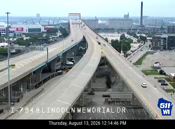
I-794 - I-794 at Lincoln Memorial Dr
WI ·
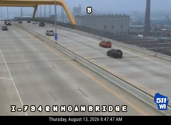
I-794 - I-794 at N of Hoan Bridge
WI ·
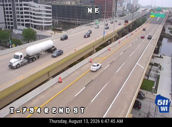
I-794 - I-794 at 2nd St
WI ·

I-794 - I-794 at James Lovell St
WI ·

I-43 - I-43 at Locust St
WI ·
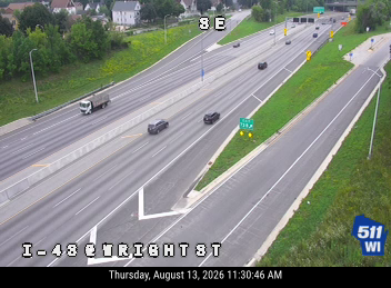
I-43 - I-43 at Wright St
WI ·

I-43 - I-43 at McKinley Ave
WI ·
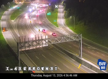
I-43 - I-43 at Brown St
WI ·

I-80 East of Larkin Ave
IL ·
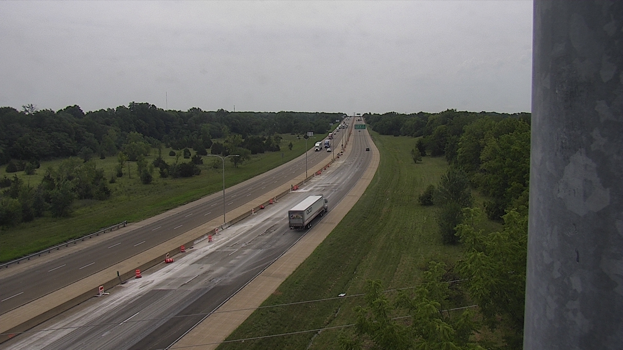
I-55/I-74 at Oakland (#5055)
IL · SB
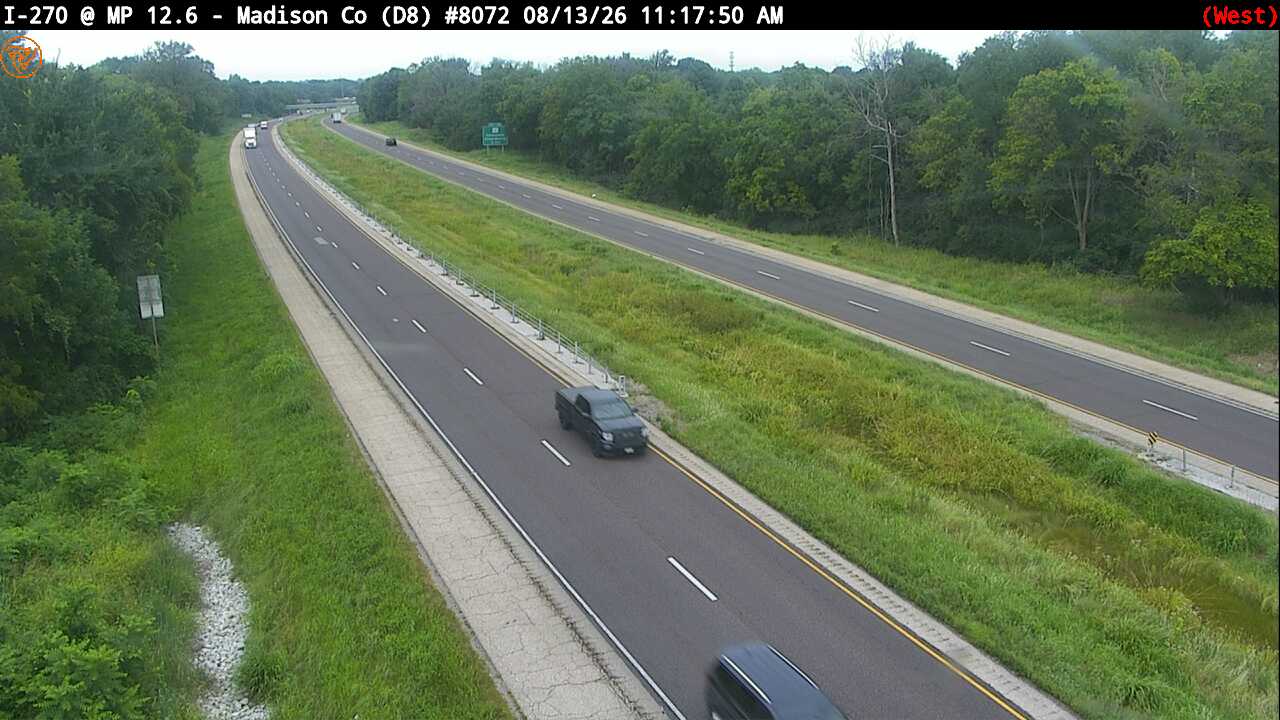
I-270 at Milepost 12.6 (#8072)
IL · WB
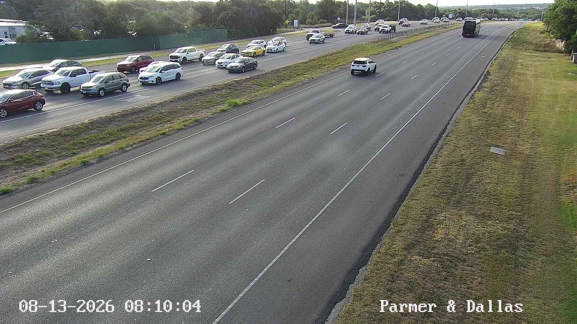
PARMER LN / DALLAS DR
Austin, TX
Rest Stops Along Your Route
149 stops available
Swipe to see moreShowing 1-2 of 149

Get Weather Alerts for This Route
We'll notify you when conditions change before your trip. Never drive into a surprise storm again.
⚡ Recent Weather Events on This Route
Premium users received alerts for these conditions:
- 🌧️Aug 13: Rain advisory for afternoon departures
- ❄️Aug 11: Snow expected at higher elevations - consider earlier departure
- 🌫️Aug 8: Dense fog warning for morning travel
Don't miss the next alert →
Driving from Milwaukee, WI to Austin, TX covers 1346 miles in roughly 22h 34m of drive time, crossing state lines. We track 12 live traffic cameras, 149 rest areas, 2 reported incidents and 4 active weather alerts along this corridor so you can plan around them. On a drive this length, weather can change dramatically between stops. Use the segment-by-segment forecast below to time your route.
7-Day Driving Outlook
Today
Aug 15
78° / 67°
21% precip
Tomorrow
Aug 16
88° / 70°
35% precip
Mon
Aug 17
76° / 62°
5% precip
Tue
Aug 18
82° / 66°
50% precip
Wed
Aug 19
72° / 65°
60% precip
Thu
Aug 20
75° / 64°
8% precip
Fri
Aug 21
77° / 64°
9% precip
🗓️ Weekend Outlook
Saturday
Good to Go☁️ Overcast at origin, ⛅ Partly cloudy at destination
Sunday
Good to Go🌧️ Light drizzle at origin, ☀️ Clear sky at destination
Plan This Route
Get hour-by-hour weather forecasts, real-time traffic, and find the optimal departure time.
🚗 Live traffic included
See if current slowdowns affect your drive time
Free • No sign-up required
Current Conditions
Milwaukee, WI
68°F
Wind: 6 mph
Austin, TX
82°F
Wind: 10 mph
Weather data updated in real-time
Driving from Milwaukee, WI to Austin, TX
When you embark on the 1,346-mile journey from Milwaukee to Austin, you'll primarily follow I-90 South and I-39 South through Illinois before connecting to I-44 East toward Missouri, then picking up US-54 South through Oklahoma and into Texas where you'll eventually merge onto I-35 South for the final stretch into Austin. This routing takes approximately 22 hours and 34 minutes of driving time, making it an ideal candidate for a two-day road trip with an overnight stop, typically around the Oklahoma City or northern Texas area. While the drive is relatively straightforward in terms of navigation, the sheer distance demands careful planning and attention to your energy levels behind the wheel.
Your landscape will transform dramatically as you progress southward. Starting in Wisconsin's temperate Great Lakes region, you'll transition through Illinois's gentle farmland and rolling prairie, then enter the Ozark plateau of Missouri with its noticeably increased elevation and curving terrain. As you cross into Oklahoma around the panhandle region, the landscape flattens considerably and becomes increasingly arid, with the iconic red earth and sparse vegetation becoming more pronounced as you venture deeper into the Southern Plains. By the time you reach Texas and drive through the Hill Country approaching Austin, you'll encounter another geological shift with limestone ridges, scenic valleys, and gradually increasing vegetation that signals your approach to the Texas capital.
Key cities break up your journey nicely: you'll pass through Springfield, Illinois, then Joplin, Missouri, before hitting Oklahoma City—a substantial urban area that marks roughly the halfway point of your drive. From there, the route becomes increasingly rural through the Oklahoma panhandle and the Texas plains until you reach the Dallas-Fort Worth metroplex area, where traffic picks up again before the final three-hour push south to Austin.
Spring and fall are ideal seasons for this drive, offering moderate temperatures and clear visibility throughout. Summer heat, particularly in Oklahoma and Texas, can make the long stretches of highway monotonous and tiring, while winter ice and occasional storms across the northern portions can create hazardous conditions. Plan your departure time strategically to avoid driving the most repetitive middle sections during darkness or peak fatigue hours.
The 1346-mile drive from Milwaukee, Wisconsin to Austin, Texas takes approximately 22h 34m under normal conditions. Weather along this route can vary significantly, especially across open plains where severe weather and high winds can develop quickly. Route Outlook helps you find the safest time to travel by showing you weather conditions at every point along your route, timed to when you'll actually be there.
Common Weather Hazards on This Route
- Winter storms and heavy snowfall (November through April)
- Black ice on mountain passes and bridges
- Severe thunderstorms and flash flooding (spring and summer)
- Hurricane and tropical storm impacts (June through November)
Seasonal Driving Considerations
The Midwest corridor of this route is susceptible to rapid weather changes. Severe thunderstorms and tornadoes are a real threat from April through June, while winter brings heavy lake-effect snow, ice storms, and dangerously low wind chill. Flat terrain means high crosswinds can affect vehicle stability year-round, especially for taller vehicles. Spring flooding can also close highway underpasses and low-lying road segments.
Best Time to Drive Milwaukee to Austin
For long drives like this 1346-mile journey, planning is essential. Consider breaking the trip into segments if weather looks challenging. The best approach is to check conditions for multiple departure times using Route Outlook's optimizer, which considers weather at each point when you'll actually be there.
Driving Strategy
Covering 1346 miles from Milwaukee to Austin is a full-day or multi-day drive that requires advance planning. Break the route into manageable segments, planning fuel and rest stops every 2-3 hours. Weather that looks fine at departure may deteriorate significantly at the midpoint. Consider booking overnight accommodation if the forecast shows deteriorating conditions in the latter half. Route Outlook's segment-level weather data helps you identify exactly where and when conditions will change.
Pro Tip
Use Route Outlook's departure optimizer to find the best time to leave. Our 4D trajectory engine considers weather at each point along your route at the exact time you'll be there — not just at your destination. It also integrates live data from traffic cameras, DOT 511 feeds, and road weather sensors.
Frequently Asked Questions
How long is the drive from Milwaukee to Austin?
The drive is approximately 1346 miles and takes about 22h 34m under normal traffic and weather conditions. Severe weather can add significant time to your trip.
What's the best day to drive this route?
Based on current forecasts, Monday, Aug 17 looks ideal. Clear conditions expected along the entire route
Is it safe to drive from Milwaukee to Austin today?
Current conditions show high risk along this route. Conditions look favorable for travel. Always stay alert and adjust speed for changing conditions.
Are there rest areas on the Milwaukee to Austin route?
Yes, there are 149 rest areas along this route. Facilities include restrooms, parking, and in some cases picnic areas and vending machines. Rest stops are spaced throughout the drive, so you'll never be too far from a break.
Can I see live traffic cameras on this route?
Yes, Route Outlook shows 12 live traffic cameras along this route, sourced from state DOT feeds. You can check road visibility, traffic flow, and pavement conditions in real time before and during your drive.
What highways does this route use?
This route primarily uses I-794, Other. Conditions can vary between highway segments, so check live camera feeds and road condition reports for each stretch before departing.
Are there any road closures on this route right now?
There are currently 2 active incidents along this route that may affect your drive. Check the incident details above for specific locations and expected durations.
Related Driving Guides
10 Essential Winter Driving Tips for Long Road Trips
Planning a winter road trip? Here are the essential safety tips to help you navigate snow, ice, and cold weather conditions.
🧊Black Ice: The Invisible Killer on Winter Roads
Black ice forms when rain or melting snow refreezes on cold road surfaces. Here's how to spot the conditions that create it.
🛡️Road Safety Features: Real-Time Conditions for Your Route
Real-time traffic incidents from 12 states, highway message signs, road conditions, and 25,000+ traffic cameras--integrated into your route planning.
Road Trip Guides Through This Area
Texas Hill Country Loop
Wine, BBQ, and Live Music in the Heart of Texas
Lake Michigan Circle Tour
A Complete Lap Around America's Third-Largest Lake
Route 66: Chicago to Santa Monica
The Mother Road — America's Most Famous Highway
Great River Road: Minneapolis to New Orleans
Following the Mississippi from North to South
Door County Weekend: Milwaukee/Chicago to Wisconsin's Cape Cod
Cherries, Lighthouses, and Fish Boils on Lake Michigan
Texas Hill Country Weekend: Austin to Fredericksburg
Live Music, BBQ, and Hill Country Wine — All Within 90 Minutes
Explore More Routes
More routes from Milwaukee
More routes to Austin
Similar-distance drives
More routes starting in WI
Don't Drive Blind Into Weather
Route Outlook shows you conditions at every point along your route—at the exact time you'll be there.
Open Planner