New York, NY → Omaha, NE

1484 mi · 24h 52m (driving)

🚫

Current Risk

High Risk

Flood Watch in effect — consider delaying

Recommended departure

Tomorrow morning

Based on weather forecast

Add traffic to your estimate
☁️

New York

72°

☁️

40.8°

66°

🌫️

41.0°

65°

41.1°

71°

Omaha

78°

GOING
Thu, Aug 13

Trip Briefing

4 segments · 1484 mi · 24h 52m

Weather

☁️ Overcast

66°F, wind 5 mph

Rest Stops

45

Restrooms, Truck svc, Picnic

Cameras

8 live

Clear driving conditions expected

Rest stops in this segment:

  • Alexander Hamilton Service Area 🚻
  • Pilot Travel Center 🚻
  • Rest Area 🚻

+ 3 more alerts

Weather May Slow Traffic

Active weather advisory — expect slower travel

Loading map...

Traffic Cameras

See recent road conditions along your route

Images are snapshots updated periodically by state DOTs. Timestamps shown in images indicate when each photo was captured.

View all cameras

Choose your route:

Selected Route

Via I-78 West → NJ-139 → ... → I-480 West → US-6 West

Hudson StreetI-78 WestNJ-139US-1 TruckUS-9 Truck +11 more

Cameras shown are along this computed route

Need a custom route?
I-80
12 cameras
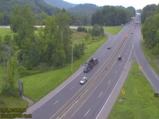
I-80 @ EXIT 309 (US 209)
1

I-80 @ EXIT 309 (US 209)

PA · WB

I-80 @ EXIT 307 (PA 191)
2

I-80 @ EXIT 307 (PA 191)

PA · WB

I-80 WB @ EXIT 304 (US 209 SPLIT)
3

I-80 WB @ EXIT 304 (US 209 SPLIT)

PA · WB

I-80 @ EXIT 302 (PA 33)
4

I-80 @ EXIT 302 (PA 33)

PA ·

I-80 @ MM 298.3 (SCOTRUN/TANNERSVILLE)
5

I-80 @ MM 298.3 (SCOTRUN/TANNERSVILLE)

PA ·
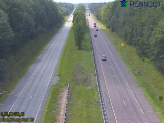
I-80 @ MM 290.6 (LONG POND RD OVERPASS)
6

I-80 @ MM 290.6 (LONG POND RD OVERPASS)

PA ·

I-80 @ EXIT 262 (PA 309 MOUNTAIN TOP/HAZLETON)
7

I-80 @ EXIT 262 (PA 309 MOUNTAIN TOP/HAZLETON)

PA ·
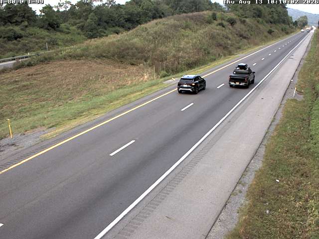
I-80 W/B @ MM 153.8 Centre Co.
8

I-80 W/B @ MM 153.8 Centre Co.

PA ·

I-80 @ EXIT 60 (PA 66 SHIPPENVILLE)
9

I-80 @ EXIT 60 (PA 66 SHIPPENVILLE)

PA ·
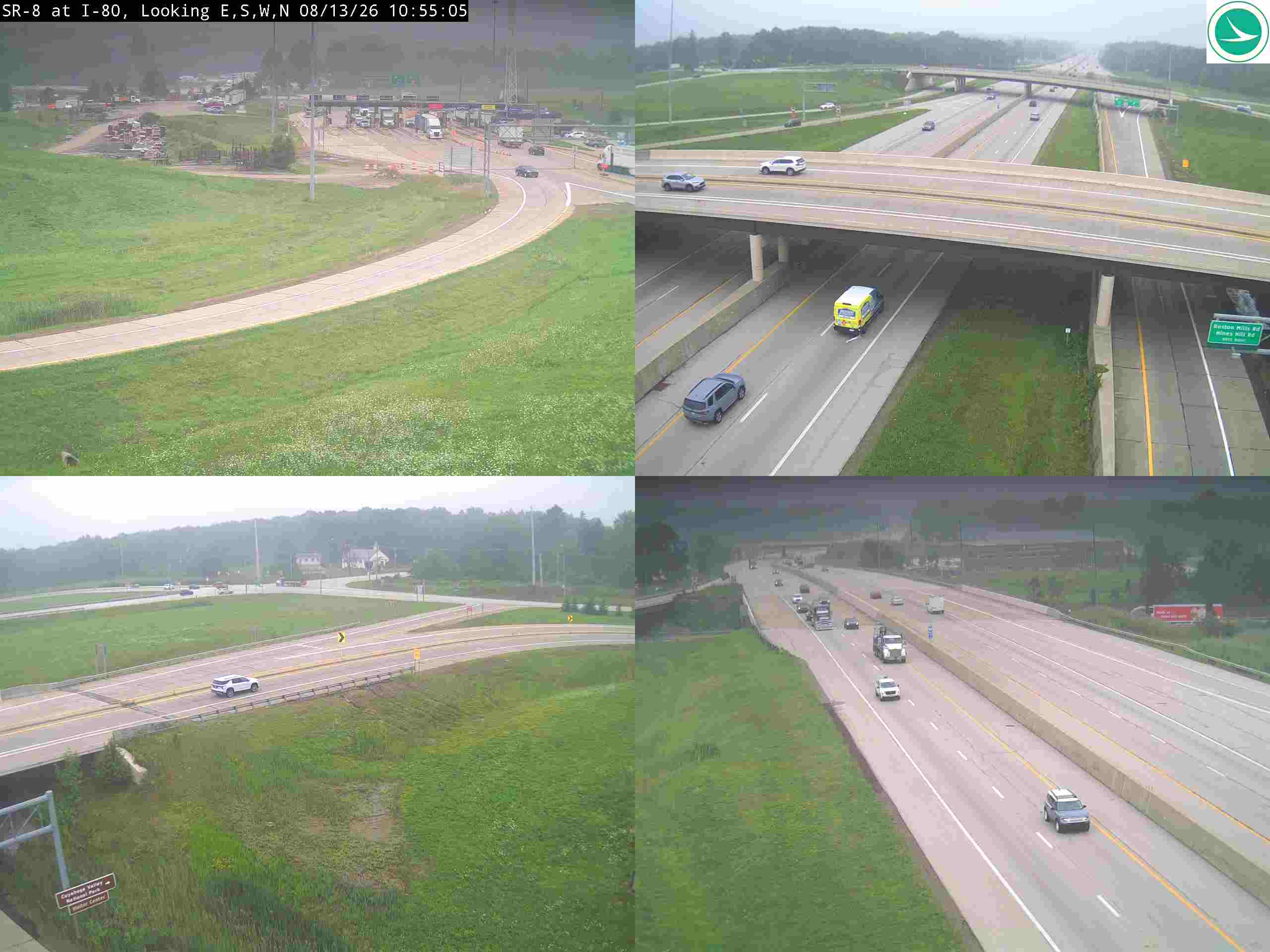
SR-8 at I-80
10

SR-8 at I-80

OH

WB I-80 to NB I-94
11

WB I-80 to NB I-94

IL ·

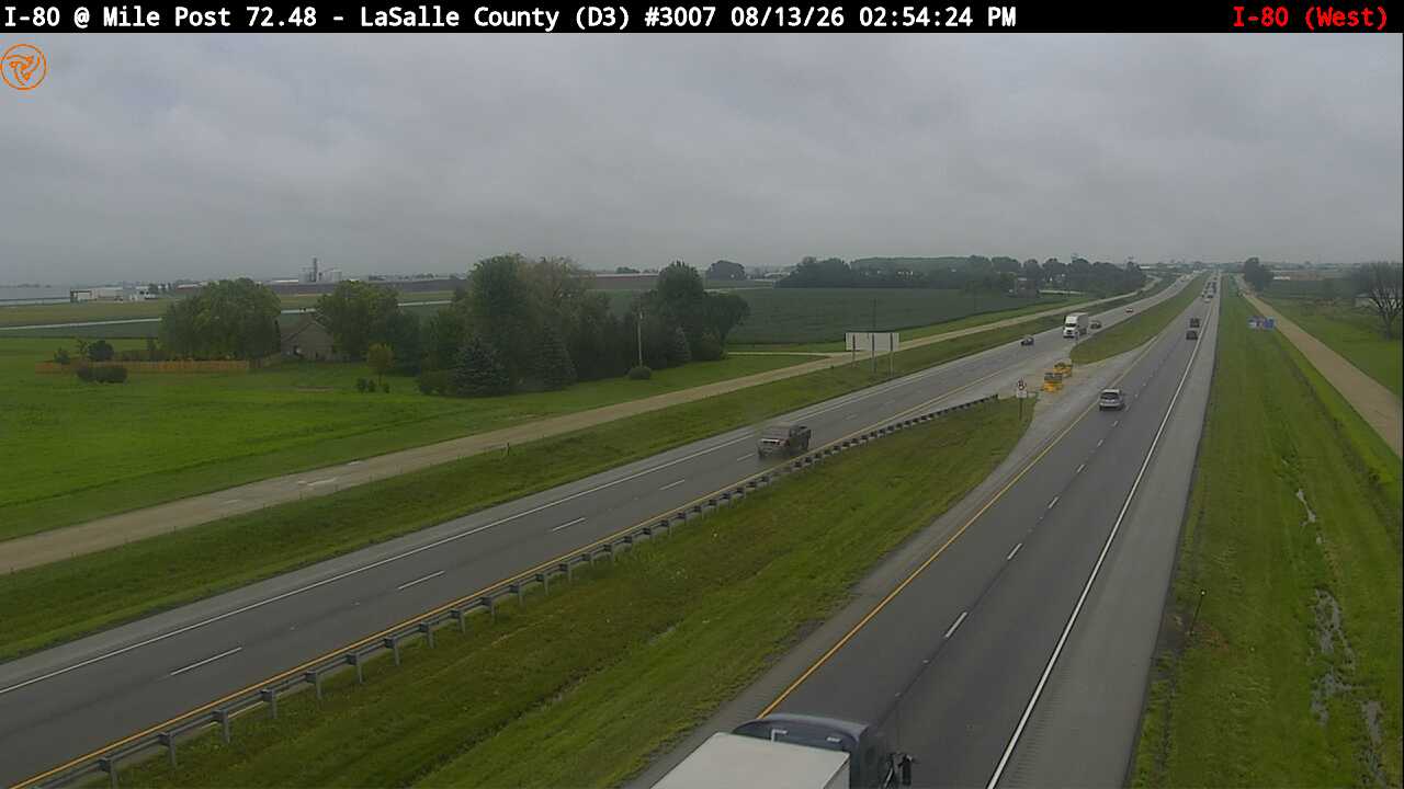
I-80 EB at Mile Post 72.48 (#3007)
12

I-80 EB at Mile Post 72.48 (#3007)

IL · WB

Rest Stops Along Your Route

190 stops available

Swipe to see more

Alexander Hamilton Service Area

Near start

Open
Restrooms

Pilot Travel Center

Near start

Open
Restrooms
Fuel
Food

Rest Area

Near start

Open
Restrooms

Rest Area

Near start

Open
Restrooms

Larry Doby Service Area

Near start

Open
Restrooms

Connie Chung Service Area

Near start

Open
Restrooms

Rest Area

Near start

Open
Restrooms

Valley Settlement House

Near start

Open
Restrooms

Rest Area

Near start

Open
Restrooms

Rest Area

Near start

Open
Restrooms

Rest Area

Near start

Open
Restrooms

Rest Area

Near start

Open
Restrooms

Rest Area

Near start

Open
Restrooms

Rest Area

Near start

Open
Picnic

Rest Area

Near start

Open
Picnic

Rest Area

Near start

Open
Restrooms

TA

0006 • Near start

Open
Restrooms
Fuel
Food

Pennsylvania Welcome Center

Near start

Open
Restrooms
09:00-17:30 Directions

Crescent Lake Rest Area

6% along route

Open
Restrooms

Hickory Run Truck Plaza

8% along route

Open
Restrooms
Fuel
Food

Luzerne County Rest Area Eastbound

EB • 8% along route

Open
Restrooms

Luzerne County Rest Area Northbound

NB • 9% along route

Open
Restrooms

Onvo Travel Plaza

9% along route

Open
Restrooms
Fuel
Food

Blue Ridge Travel Plaza

9% along route

Open
Restrooms

Pilot Travel Center

10% along route

Open
Restrooms
Fuel
Food

Columbia County Rest Area Westbound

WB • 10% along route

Open
Restrooms

Onvo Travel Plaza

11% along route

Open
Restrooms

Love's Travel Stop

11% along route

Open
Restrooms
Fuel
Food

TA

0212 • 11% along route

Open
Restrooms
Fuel
Food

Montour County Rest Area Westbound

WB • 13% along route

Open
Restrooms

Flying J Travel Center

13% along route

Open
Restrooms
Fuel
Food

Clinton County Rest Area Westbound

WB • 14% along route

Open
Restrooms

Pilot Travel Center

16% along route

Open
Restrooms
Fuel
Food

TA

0068 • 16% along route

Open
Restrooms
Fuel
Food

Flying J Travel Center

16% along route

Open
Restrooms
Fuel
Food

TA

0214 • 17% along route

Open
Restrooms
Fuel
Food

Centre County Rest Area Westbound

WB • 18% along route

Open
Restrooms

Sapp Brothers Travel Center

20% along route

Open
Restrooms
Fuel
Food
WiFi

Pilot Travel Center

336 • 22% along route

Open
Restrooms
Fuel
Food

Jefferson County Rest Area Westbound

WB • 23% along route

Open
Restrooms

Love's Travel Stop

23% along route

Open
Restrooms
Fuel
Food

Zachrich Trucking Inc

23% along route

Open
Restrooms

Flying J Travel Center

23% along route

Open
Restrooms
Fuel
Food

TA

0003 • 23% along route

Open
Restrooms
Fuel
Food

Clarion Service Plaza

25% along route

Open
Restrooms

Venango County Rest Area Westbound

WB • 27% along route

Open
Restrooms

TA

0067 • 27% along route

Open
Restrooms
Fuel
Food

Mercer Welcome Center

30% along route

Open
Restrooms

Flying J Travel Center

30% along route

Open
Restrooms
Fuel
Food

Love's Travel Stop

370 • 30% along route

Open
Restrooms
Fuel
Food

Petro Stopping Centers

0320 • 31% along route

Open
Restrooms
Fuel
Food

Mr. Fuel Travel Center

31% along route

Open
Restrooms
Fuel
Food

Pilot Travel Center

31% along route

Open
Restrooms
Fuel
Food

TA

0058 • 31% along route

Open
Restrooms
Fuel
Food

Pilot Travel Center

31% along route

Open
Restrooms
Fuel
Food

Rest Area

31% along route

Open
Restrooms

Brady's Leap Service Plaza

33% along route

Open
Restrooms
Fuel
Food

Portage Service Plaza

33% along route

Open
Restrooms
Fuel
Food

Pilot Travel Center

35% along route

Open
Restrooms
Fuel
Food

Great Lakes Service Plaza

35% along route

Open
Restrooms
Fuel
Food

Towpath Service Plaza

35% along route

Open
Restrooms
Fuel
Food

Middle Ridge Service Plaza

37% along route

Open
Restrooms
Fuel
Food

Vermilion Valley Service Plaza

37% along route

Open
Restrooms
Fuel
Food

Rest Area

38% along route

Open
Restrooms

Rest Area

38% along route

Open
Restrooms

Lorain Rest Area

38% along route

Open
Restrooms

Rest Area

39% along route

Open
Restrooms

Receiving Area B

39% along route

Open
Restrooms

Rest Area

39% along route

Open
Restrooms

Rest Area

40% along route

Open
Restrooms

Rest Area

40% along route

Open
Restrooms

Rest Area

40% along route

Open
Restrooms

Commodore Perry Service Plaza

41% along route

Open
Restrooms
Fuel
Food

Erie Islands Service Plaza

41% along route

Open
Restrooms
Fuel
Food

Wyandot Service Area

43% along route

Open
Restrooms
Fuel
Food

Blue Heron Service Area

43% along route

Open
Restrooms
Fuel
Food

TA

0087 • 43% along route

Open
Restrooms
Fuel
Food

Pilot Travel Center

43% along route

Open
Restrooms
Fuel
Food

Flying J Travel Center

43% along route

Open
Restrooms
Fuel
Food

Rest Area

43% along route

Open
Restrooms
Fuel
Food

Petro Stopping Centers

0317 • 43% along route

Open
Restrooms
Fuel
Food

Love's Travel Stop

456 • 43% along route

Open
Restrooms
Fuel
Food

Horse Rest Area

45% along route

Open
Restrooms

Tiffin River

47% along route

Open
Restrooms
Fuel
Food

Indian Meadow

47% along route

Open
Restrooms
Fuel
Food

Love's Travel Stop

49% along route

Open
Restrooms
Fuel
Food

Petro Stopping Centers

0345 • 50% along route

Open
Restrooms
Fuel
Food

Pilot Travel Center

50% along route

Open
Restrooms
Fuel
Food

Love's Travel Stop

50% along route

Open
Restrooms
Fuel
Food

Ernie Pyle Travel Plaza (Westbound)

WB • 52% along route

Open
Restrooms
Fuel
Food

Rest Area

53% along route

Open
Restrooms
Fuel
Food

Love's Travel Stop

729 • 54% along route

Open
Restrooms
Fuel
Food

Henry F. Schricker Travel Plaza WB

WB • 55% along route

Open
Restrooms

Rest Area

56% along route

Open
Restrooms

Rest Area

56% along route

Open
Restrooms
Fuel
Food

Pilot Travel Center

56% along route

Open
Restrooms
Fuel
Food

William Shaw Travel Plaza WB

WB • 57% along route

Open
Restrooms

Love's Travel Stop

59% along route

Open
Restrooms
Fuel
Food

Rest Area

59% along route

Open
Restrooms
Fuel
Food

Rest Area

59% along route

Open
Restrooms

Rest Area

59% along route

Open
Restrooms

Rest Area

59% along route

Open
Restrooms

TA

0220 • 60% along route

Open
Restrooms
Fuel
Food

Pilot Travel Center

60% along route

Open
Restrooms
Fuel
Food

J.T. McCutcheon Travel Plaza

1 • 60% along route

Open
Restrooms

George Ade Travel Plaza

1 • 60% along route

Open
Restrooms
Fuel
Food

Flying J Travel Center

60% along route

Open
Restrooms
Fuel
Food

TA

0219 • 60% along route

Open
Restrooms
Fuel
Food

Mr. Fuel Travel Center

60% along route

Open
Restrooms
Fuel
Food

Road Ranger

60% along route

Open
Restrooms
Fuel
Food

Petro Stopping Centers

0369 • 61% along route

Open
Restrooms
Fuel
Food

Rest Area

61% along route

Open
Restrooms
Fuel
Food

Love's Travel Stop

61% along route

Open
Restrooms
Fuel
Food

Pilot Travel Center

61% along route

Open
Restrooms
Fuel
Food

Mr. Fuel Travel Center

61% along route

Open
Restrooms
Fuel
Food

TA

0010 • 61% along route

Open
Restrooms
Fuel
Food

Pilot Travel Center

61% along route

Open
Restrooms
Fuel
Food

Love's Travel Stop

62% along route

Open
Restrooms
Fuel
Food

Chicago Southland Lincoln Oasis

62% along route

Open
Restrooms
Vending

Rest Area

62% along route

Open
Restrooms

Rest Area

62% along route

Open
Restrooms

Rest Area

62% along route

Open
Restrooms

Pilot Travel Center

64% along route

Open
Restrooms
Fuel
Food

Rest Area

64% along route

Open
Restrooms

Rest Area

64% along route

Open
Restrooms

Pilot Travel Center

65% along route

Open
Restrooms
Fuel
Food

Rest Area

65% along route

Open
Restrooms
Fuel
Food

Love's Travel Stop

65% along route

Open
Restrooms
Fuel
Food

Pilot Travel Center

65% along route

Open
Restrooms
Fuel
Food

Three Rivers Rest Area (Westbound)

WB • 65% along route

Open
Restrooms
Vending

Love's Travel Stop

65% along route

Open
Restrooms
Fuel
Food

TA

0236 • 66% along route

Open
Restrooms
Fuel
Food

Pilot Travel Center

66% along route

Open
Restrooms
Fuel
Food

Rest Area

67% along route

Open
Restrooms
Fuel
Food

Road Ranger

67% along route

Open
Restrooms
Fuel
Food

Love's Travel Stop

68% along route

Open
Restrooms
Fuel
Food

Flying J Travel Center

69% along route

Open
Restrooms
Fuel
Food

Sapp Brothers Travel Center

69% along route

Open
Restrooms
Fuel
Food
WiFi

Rest Area

69% along route

Open
Restrooms
Fuel
Food

Road Ranger

70% along route

Open
Restrooms
Fuel
Food

Great Sauk Trail Rest Area - Westbound

WB • 71% along route

Open
Restrooms
Vending

Love's Travel Stop

73% along route

Open
Restrooms
Fuel
Food

Love's Travel Stop

73% along route

Open
Restrooms
Fuel
Food

Rest Area

74% along route

Open
Restrooms
Fuel
Food

Rest Area

74% along route

Open
Restrooms

Rest Area

75% along route

Open
Restrooms

Rest Area

76% along route

Open
Restrooms
Fuel
Food

Love's Travel Stop

476 • 76% along route

Open
Restrooms
Fuel
Food

Flying J Travel Center

76% along route

Open
Restrooms
Fuel
Food

Rest Area

76% along route

Open
Restrooms
Fuel
Food

TA

0077 • 77% along route

Open
Restrooms
Fuel
Food

Pilot Travel Center

77% along route

Open
Restrooms
Fuel
Food

Pilot Travel Center

43 • 77% along route

Open
Restrooms
Fuel
Food

I-80 WB

WB • 78% along route

Open
Restrooms

I-80 WB (trucks only)

WB • 78% along route

Open
Restrooms
Fuel
Food

ONE9 Travel Center

78% along route

Open
Restrooms
Fuel
Food

Rest Area

81% along route

Open
Restrooms

Rest Area

81% along route

Open
Restrooms

Rest Area

83% along route

Open
Restrooms

Rest Area

83% along route

Open
Restrooms

Rest Area

84% along route

Open
Restrooms
Fuel
Food

Pilot Travel Center

84% along route

Open
Restrooms
Fuel
Food

TA

0254 • 84% along route

Open
Restrooms
Fuel
Food

Rest Area

86% along route

Open
Restrooms

Rest Area

86% along route

Open
Restrooms

Rest Area

86% along route

Open
Restrooms

Love's Travel Stop

361 • 87% along route

Open
Restrooms
Fuel
Food

Rest Area

87% along route

Open
Restrooms
Fuel
Food

Rest Area

88% along route

Open
Restrooms

Rest Area

88% along route

Open
Restrooms

Rest Area

88% along route

Open
Restrooms

Rest Area

89% along route

Open
Restrooms
Fuel
Food

Flying J Travel Center

89% along route

Open
Restrooms
Fuel
Food

Casey's Truck Stop

89% along route

Open
Restrooms
Fuel
Food

QuikTrip

562 • 89% along route

Open
Restrooms
Fuel
Food

Pilot Travel Center

90% along route

Open
Restrooms
Fuel
Food

Love's

411 • 90% along route

Open
Restrooms
Fuel
Food

Rest Area

94% along route

Open
Restrooms

Rest Area

94% along route

Open
Restrooms

Flying J - Avoca

Near destination

Open
Restrooms
Fuel
Food

Love's Travel Stop

Near destination

Open
Restrooms
Fuel
Food

Rest Area

Near destination

Open
Restrooms

Rest Area

Near destination

Open
Restrooms

TA

0066 • Near destination

Open
Restrooms
Fuel
Food

Pilot Travel Center

Near destination

Open
Restrooms
Fuel
Food

Sapp Brothers Travel Center

Near destination

Open
Restrooms
Fuel
Food
WiFi

Rest Area

Near destination

Open
Restrooms

Rest Area

Near destination

Open
Restrooms

Rest Area

Near destination

Open
Restrooms

Rest Area

Near destination

Open
Restrooms
🔔

Get Weather Alerts for This Route

We'll notify you when conditions change before your trip. Never drive into a surprise storm again.

Recent Weather Events on This Route

Premium users received alerts for these conditions:

  • 🌫️
    Aug 8: Dense fog warning for morning departures - visibility below 1/4 mile

Don't miss the next alert →

Driving from New York, NY to Omaha, NE covers 1484 miles in roughly 24h 52m of drive time, crossing state lines. We track 12 live traffic cameras, 190 rest areas and 6 active weather alerts along this corridor so you can plan around them. On a drive this length, weather can change dramatically between stops. Use the segment-by-segment forecast below to time your route.

7-Day Driving Outlook

Today

Aug 13

☁️🌧️

87° / 71°

34% precip

Risky

Tomorrow

Aug 14

🌧️🌦️

87° / 66°

7% precip

Safe

Sat

Aug 15

☁️☁️

83° / 67°

7% precip

Safe

Sun

Aug 16

🌧️🌦️

79° / 71°

58% precip

Caution

Mon

Aug 17

⛈️☁️

87° / 73°

58% precip

Avoid

Tue

Aug 18

☁️🌧️

87° / 72°

3% precip

Safe

Wed

Aug 19

☁️🌦️

85° / 76°

12% precip

Safe

🗓️ Weekend Outlook

Saturday

Good to Go

☁️ Overcast at origin, ☁️ Overcast at destination

Sunday

Use Caution

🌧️ Dense drizzle → 🌦️ Moderate rain showers. Use caution.

Plan This Route

Get hour-by-hour weather forecasts, real-time traffic, and find the optimal departure time.

🚗 Live traffic included

See if current slowdowns affect your drive time

Open in Planner

Free • No sign-up required

Current Conditions

New York, NY

☁️

72°F

Wind: 6 mph

Omaha, NE

78°F

Wind: 5 mph

Weather data updated in real-time

Driving from New York, NY to Omaha, NE

Your journey from New York City to Omaha, Nebraska spans nearly 1,500 miles of diverse American landscape, primarily following Interstate 80 westward once you escape the metropolitan area. After navigating out of the New York metro region, you'll pick up I-80 through Pennsylvania, where the route traverses the state's rolling terrain and passes through or near several significant cities including Scranton and State College. The highway then carries you through New Jersey briefly before joining the Pennsylvania Turnpike section, a well-maintained toll road that charges for the convenience of straight, efficient travel through the Appalachian region.

As you continue westward through Ohio and Indiana on I-80, the landscape gradually transitions from the eastern hills toward flatter, more agricultural terrain. You'll pass through or near major cities like Cleveland and Chicago, where you'll encounter significant urban congestion that requires patience and careful navigation—plan to move slowly through the Chicago metropolitan area, which can add considerable time to your journey. Beyond Chicago, the landscape opens into the vast Midwestern plains, with endless horizons of farmland punctuated by small towns and the occasional river valley as you pass through Illinois and Iowa.

The final stretch through Iowa and into Nebraska offers some of the drive's most monotonous but meditative miles, as the terrain flattens further and the horizon becomes your constant companion. Near Omaha, you'll notice the Missouri River valley beginning to emerge, providing subtle topographical relief after hours of prairie driving. Elevation gradually increases as you move westward—you'll start near sea level in New York and finish around 1,000 feet in Omaha—but the change is so gradual that you'll barely notice it.

The optimal time for this cross-country drive is late spring through early fall, when weather conditions are most predictable and daylight hours are longest. Winter driving can be treacherous through Pennsylvania and the upper Midwest, while summer heat across the plains can make the drive uncomfortable if your vehicle's air conditioning isn't reliable. Most drivers complete this route in two full days of driving, making an overnight stop somewhere around Columbus, Ohio or Chicago the practical choice.

The 1484-mile drive from New York, New York to Omaha, Nebraska takes approximately 24h 52m under normal conditions. Weather along this route can vary significantly, especially across open plains where severe weather and high winds can develop quickly. Route Outlook helps you find the safest time to travel by showing you weather conditions at every point along your route, timed to when you'll actually be there.

Common Weather Hazards on This Route

  • Winter storms and heavy snowfall (November through April)
  • Black ice on mountain passes and bridges
  • Severe thunderstorms and flash flooding (spring and summer)

Seasonal Driving Considerations

The Midwest corridor of this route is susceptible to rapid weather changes. Severe thunderstorms and tornadoes are a real threat from April through June, while winter brings heavy lake-effect snow, ice storms, and dangerously low wind chill. Flat terrain means high crosswinds can affect vehicle stability year-round, especially for taller vehicles. Spring flooding can also close highway underpasses and low-lying road segments.

Best Time to Drive New York to Omaha

For long drives like this 1484-mile journey, planning is essential. Consider breaking the trip into segments if weather looks challenging. The best approach is to check conditions for multiple departure times using Route Outlook's optimizer, which considers weather at each point when you'll actually be there.

Driving Strategy

Covering 1484 miles from New York to Omaha is a full-day or multi-day drive that requires advance planning. Break the route into manageable segments, planning fuel and rest stops every 2-3 hours. Weather that looks fine at departure may deteriorate significantly at the midpoint. Consider booking overnight accommodation if the forecast shows deteriorating conditions in the latter half. Route Outlook's segment-level weather data helps you identify exactly where and when conditions will change.

Pro Tip

Use Route Outlook's departure optimizer to find the best time to leave. Our 4D trajectory engine considers weather at each point along your route at the exact time you'll be there — not just at your destination. It also integrates live data from traffic cameras, DOT 511 feeds, and road weather sensors.

Frequently Asked Questions

How long is the drive from New York to Omaha?

The drive is approximately 1484 miles and takes about 24h 52m under normal traffic and weather conditions. Severe weather can add significant time to your trip.

What's the best day to drive this route?

Based on current forecasts, Tuesday, Aug 18 looks ideal. Low chance of precipitation with manageable conditions

Is it safe to drive from New York to Omaha today?

Current conditions show high risk along this route. Use caution and allow extra time. Reduce speed and increase following distance as conditions warrant.

Are there rest areas on the New York to Omaha route?

Yes, there are 190 rest areas along this route. Facilities include restrooms, parking, and in some cases picnic areas and vending machines. Rest stops are spaced throughout the drive, so you'll never be too far from a break.

Can I see live traffic cameras on this route?

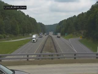
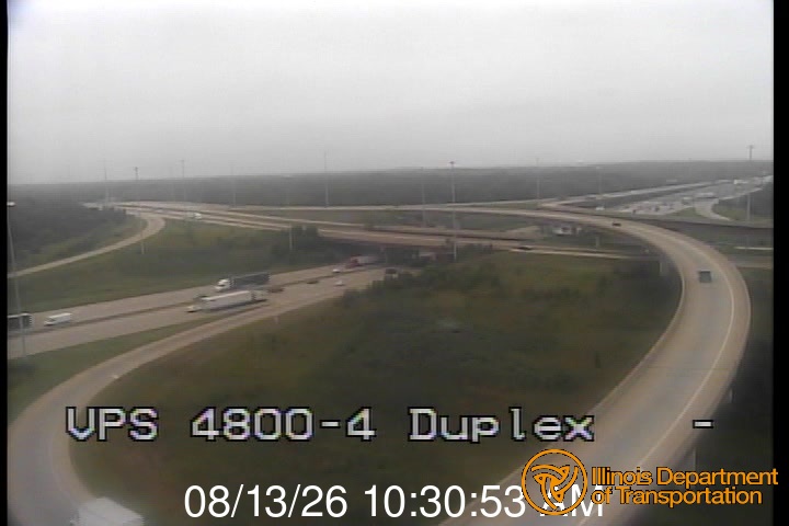
Yes, Route Outlook shows 12 live traffic cameras along this route, sourced from state DOT feeds. You can check road visibility, traffic flow, and pavement conditions in real time before and during your drive.

What highways does this route use?

This route primarily uses I-80. Conditions can vary between highway segments, so check live camera feeds and road condition reports for each stretch before departing.

Are there any road closures on this route right now?

No significant incidents or road closures are currently reported along this route. Conditions can change quickly — this page updates automatically with the latest data from state DOT 511 systems.

Don't Drive Blind Into Weather

Route Outlook shows you conditions at every point along your route—at the exact time you'll be there.

Open Planner