
San Diego, CA → San Antonio, TX
1464 mi · 24h 32m (driving)
Current Risk
High Risk
Extreme Heat Watch in effect — consider delaying
San Diego
75°
Pima County
95°
Ascensión
88°
Brewster County
90°
San Antonio
88°
Trip Briefing
4 segments · 1464 mi · 24h 33m
Weather
☁️ Overcast
95°F, wind 10 mph
Rest Stops
17
Restrooms, water, Vending
Cameras
7 live
Clear driving conditions expected
Rest stops in this segment:
- ● Rest Area 🚻
- ● Buckman Springs Rest Area 🚻 🥤 🪑
- ● Jamie Obeso Sunbeam Rest Area 🚻 🥤
Weather May Slow Traffic
Active weather advisory — expect slower travel · 10 construction zones on route
10 Construction Zones on Route
Construction on IH0010
Construction on FM1281
Construction on IH0010
Construction on IH0010
Construction on SH0039
Construction on SH0027
+ 4 more zones along the route — see map for full list
Traffic Cameras
See recent road conditions along your route
Images are snapshots updated periodically by state DOTs. Timestamps shown in images indicate when each photo was captured.
Your Route
Via I-8 East → I-10 East → US-87
Cameras shown are along this computed route
Need a custom route?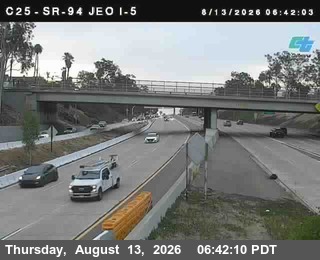
(C025) SR-94 : Just East Of I-5
San Diego, CA ·
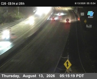
(C026) SR-94 : 28th
San Diego, CA · EB
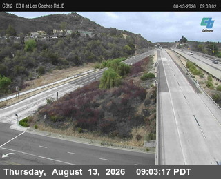
(C312) EB 8: Los Coches Bottom
El Cajon, CA · EB
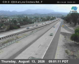
(C313) I-8 : Los Coches T
El Cajon, CA · EB

I-8 - I-8 @Yuma border
AZ
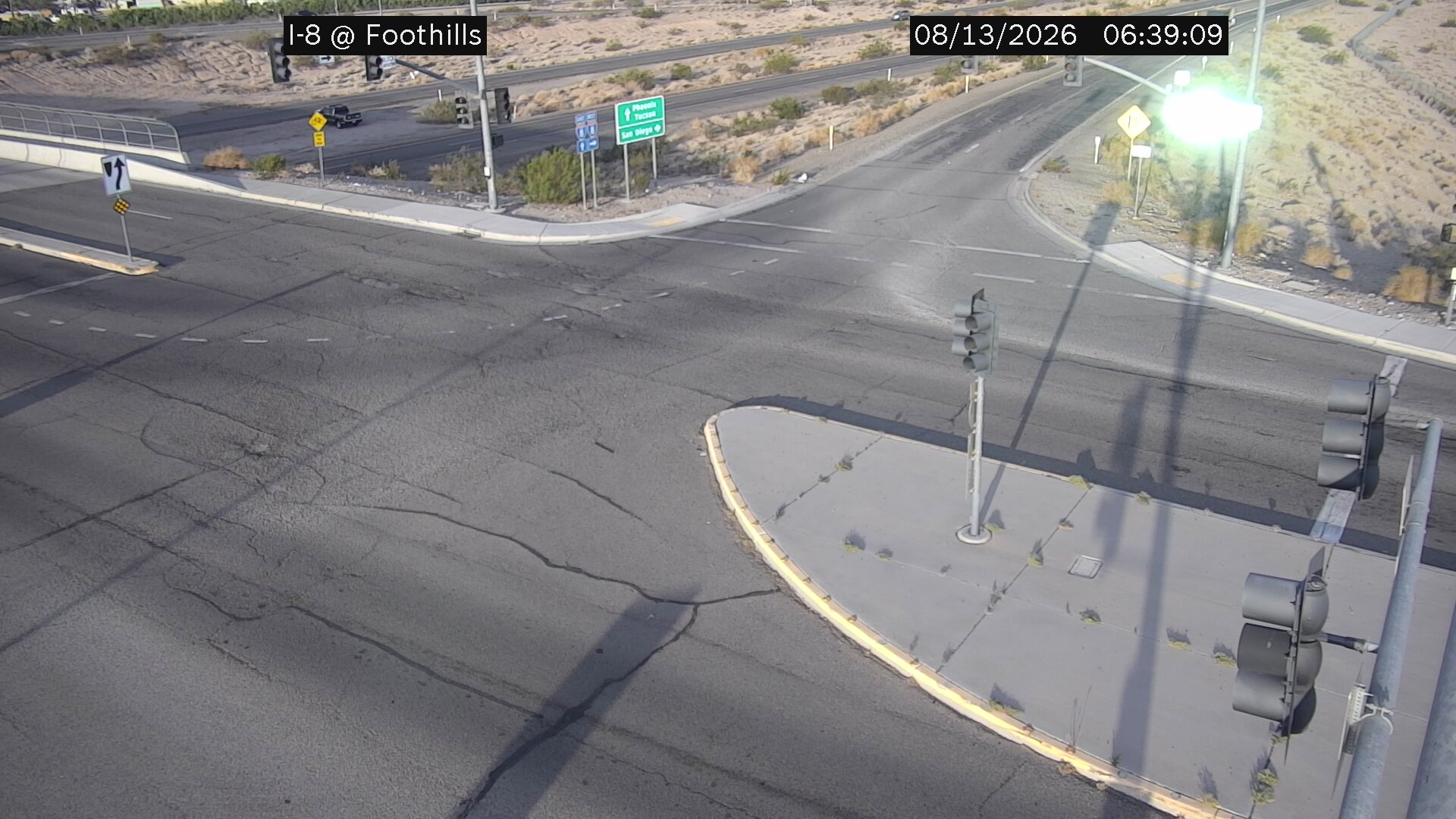
I-8 - I-8 @Foothills
AZ
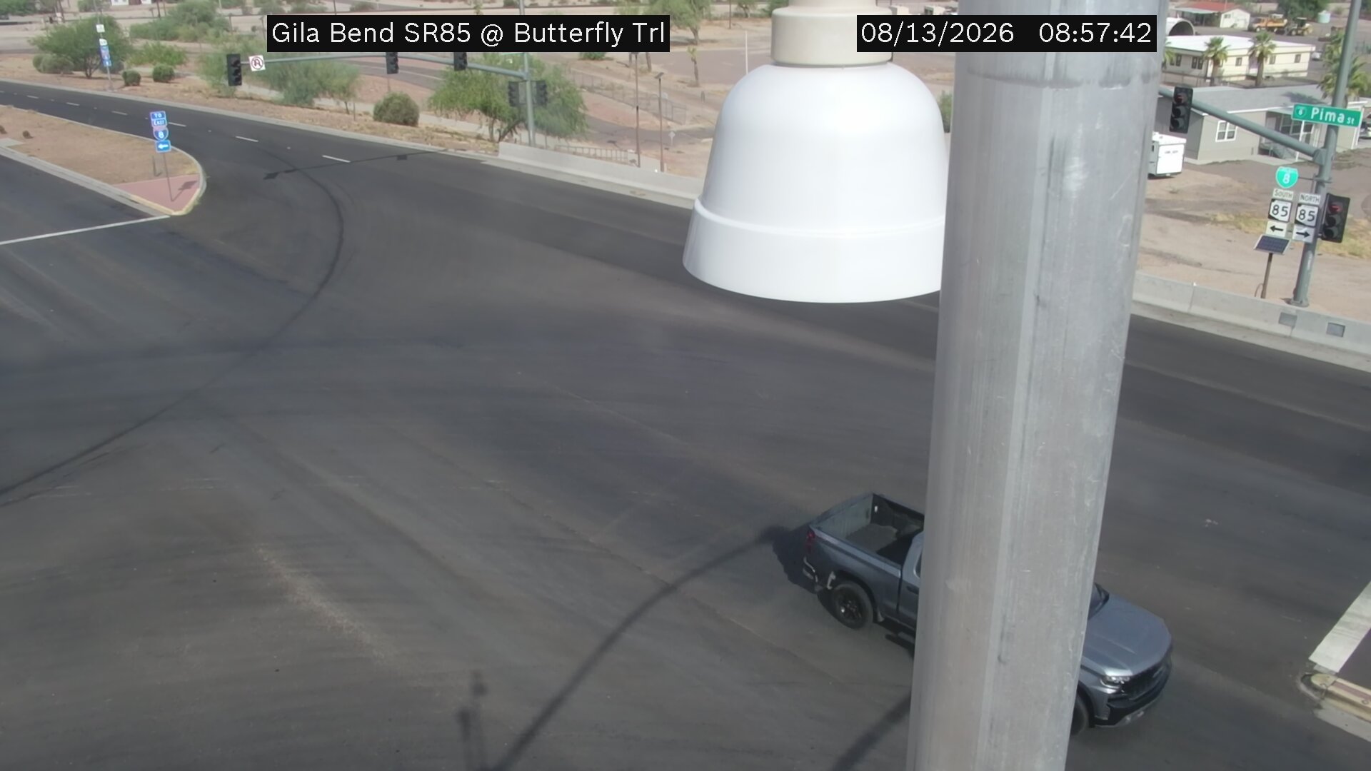
SR-85 - SR-85 @Butterfield
AZ
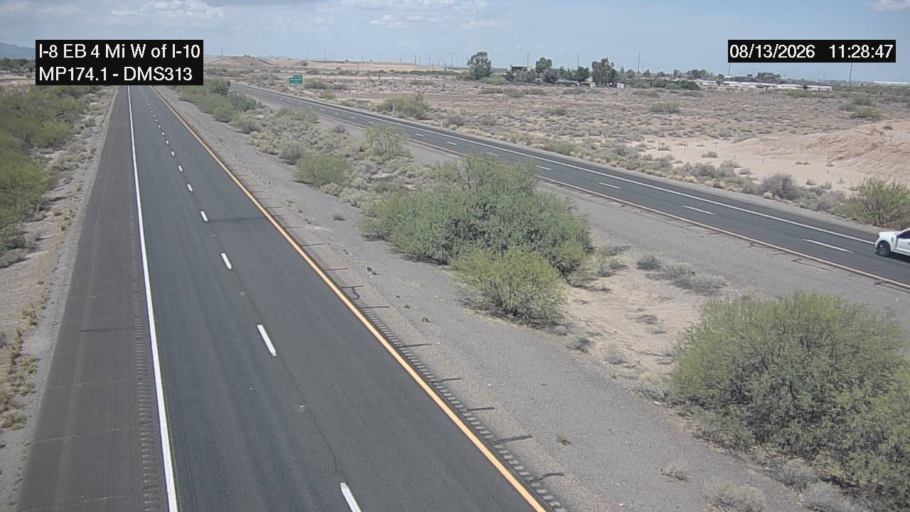
I-10 - I-10 @4 miles W of I-10
AZ
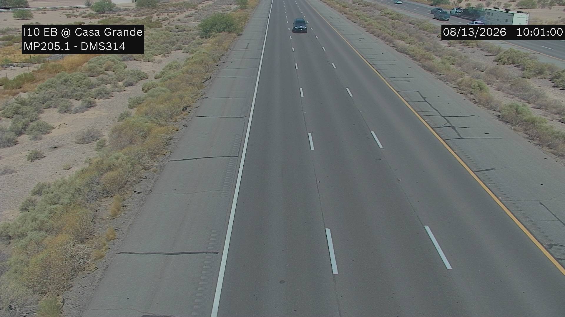
I-10 - I-10 @Casa Grande
AZ

I-10 - I-10 @Picacho Peak
AZ
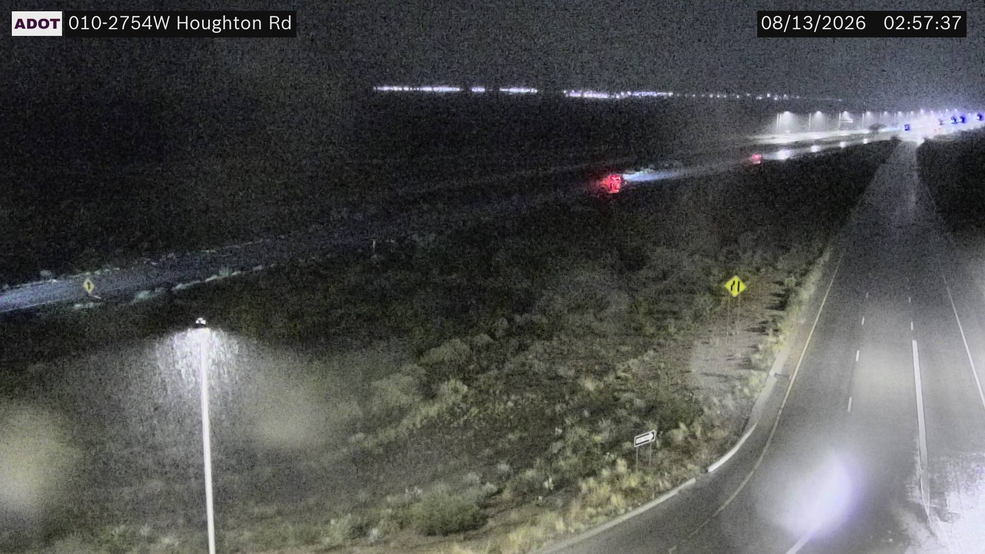
I-10 - I-10 @Houghton Road
AZ
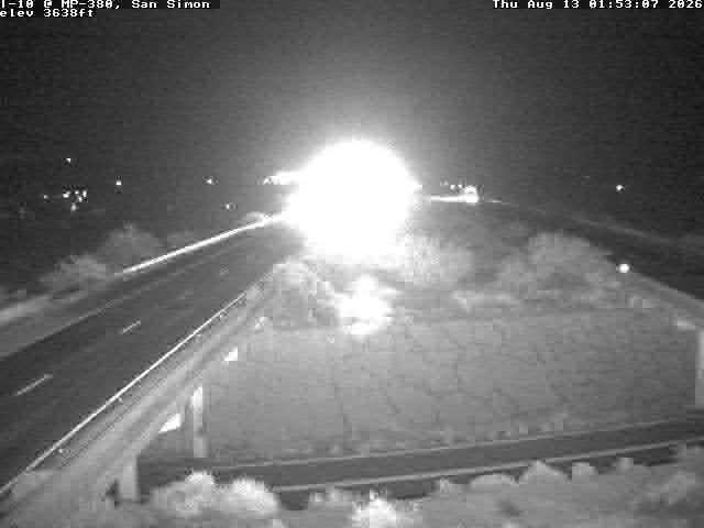
I-10 - I-10 @ 380.35
AZ
Rest Stops Along Your Route
116 stops available
Swipe to see moreShowing 1-2 of 116

Get Weather Alerts for This Route
We'll notify you when conditions change before your trip. Never drive into a surprise storm again.
⚡ Recent Weather Events on This Route
Premium users received alerts for these conditions:
- 🌧️Aug 13: Rain advisory for afternoon departures
- ❄️Aug 11: Snow expected at higher elevations - consider earlier departure
- 🌫️Aug 8: Dense fog warning for morning travel
Don't miss the next alert →
Driving from San Diego, CA to San Antonio, TX covers 1464 miles in roughly 24h 32m of drive time, crossing state lines. We track 12 live traffic cameras, 116 rest areas and 2 active weather alerts along this corridor so you can plan around them. On a drive this length, weather can change dramatically between stops. Use the segment-by-segment forecast below to time your route.
7-Day Driving Outlook
Fri
Aug 14
78° / 70°
1% precip
Today
Aug 15
78° / 67°
2% precip
Tomorrow
Aug 16
79° / 68°
2% precip
Mon
Aug 17
81° / 71°
No precip
Tue
Aug 18
81° / 72°
No precip
Wed
Aug 19
81° / 73°
1% precip
Thu
Aug 20
83° / 74°
3% precip
🗓️ Weekend Outlook
Saturday
Good to Go☁️ Overcast at origin, ☁️ Overcast at destination
Sunday
Good to Go☁️ Overcast at origin, ☁️ Overcast at destination
Plan This Route
Get hour-by-hour weather forecasts, real-time traffic, and find the optimal departure time.
🚗 Live traffic included
See if current slowdowns affect your drive time
Free • No sign-up required
Current Conditions
San Diego, CA
75°F
Wind: 7 mph
San Antonio, TX
88°F
Wind: 10 mph
Weather data updated in real-time
Driving from San Diego, CA to San Antonio, TX
Your journey from San Diego to San Antonio spans nearly 1,465 miles of diverse American landscape, primarily following Interstate 8 eastward before transitioning to Interstate 10 through Arizona, New Mexico, and into Texas. After leaving San Diego's coastal sprawl, you'll climb through the chaparral foothills of San Diego County before I-8 carries you across the Colorado Desert toward Yuma, Arizona. From Yuma, the route continues east across some of the most remote stretches of the Southwest, eventually merging onto I-10 near the Arizona-New Mexico border. This final leg takes you through the heart of the Chihuahuan Desert and the Texas borderlands, ultimately delivering you to San Antonio after approximately 24 and a half hours of driving time.
The terrain shifts dramatically as you progress eastward, beginning with coastal sage scrub and transitioning into stark desert landscape dotted with cacti, creosote bushes, and the occasional Joshua tree. You'll experience gradual elevation changes, climbing into the low mountains between San Diego and the desert floor, then descending into the vast, flat expanses that characterize much of Arizona and southern New Mexico. The most striking visual landmarks include the Imperial Valley's agricultural patchwork near Yuma, the dramatic desert vistas around Tucson (which sits just north of your direct route but influences the landscape you'll see), and the rugged, sparsely populated terrain of southwestern New Mexico as you approach Texas.
While much of this route traverses rural desert highways with minimal development, you'll pass through or near several notable cities including Yuma, Tucson (just north), Las Cruces, and El Paso before heading east on I-10 toward San Antonio. The driving experience varies considerably: urban navigation is required leaving San Diego, long stretches of monotonous but manageable highway dominate the middle sections, and a final urban push through San Antonio's sprawling metropolitan area awaits your arrival. For the most comfortable drive, plan your trip during late fall or early spring when desert temperatures remain moderate and visibility is excellent—summer heat can make the lengthy desert stretches exhausting, while winter occasionally brings rain that can affect visibility on the westernmost portions of your journey.
The 1464-mile drive from San Diego, California to San Antonio, Texas takes approximately 24h 32m under normal conditions. Weather along this route can vary significantly, especially through mountainous terrain where elevation changes can bring sudden weather shifts. Route Outlook helps you find the safest time to travel by showing you weather conditions at every point along your route, timed to when you'll actually be there.
Common Weather Hazards on This Route
- Dense fog, especially during early morning hours
- Severe thunderstorms and flash flooding (spring and summer)
- Hurricane and tropical storm impacts (June through November)
- Extreme heat and dust storms in desert regions
- Flash floods during monsoon season (July through September)
Seasonal Driving Considerations
Coastal weather on this route can shift quickly. Marine fog is common during morning hours, especially in spring and fall, reducing visibility to near zero. Hurricane season (June through November) can bring extended road closures and dangerous conditions. During fair weather, coastal routes offer scenic driving — but always verify conditions with live traffic cameras before heading out.
Best Time to Drive San Diego to San Antonio
For long drives like this 1464-mile journey, planning is essential. Consider breaking the trip into segments if weather looks challenging. The best approach is to check conditions for multiple departure times using Route Outlook's optimizer, which considers weather at each point when you'll actually be there.
Driving Strategy
Covering 1464 miles from San Diego to San Antonio is a full-day or multi-day drive that requires advance planning. Break the route into manageable segments, planning fuel and rest stops every 2-3 hours. Weather that looks fine at departure may deteriorate significantly at the midpoint. Consider booking overnight accommodation if the forecast shows deteriorating conditions in the latter half. Route Outlook's segment-level weather data helps you identify exactly where and when conditions will change.
Pro Tip
Use Route Outlook's departure optimizer to find the best time to leave. Our 4D trajectory engine considers weather at each point along your route at the exact time you'll be there — not just at your destination. It also integrates live data from traffic cameras, DOT 511 feeds, and road weather sensors.
Frequently Asked Questions
How long is the drive from San Diego to San Antonio?
The drive is approximately 1464 miles and takes about 24h 32m under normal traffic and weather conditions. Severe weather can add significant time to your trip.
What's the best day to drive this route?
Based on current forecasts, Tuesday, Aug 18 looks ideal. Low chance of precipitation with manageable conditions
Is it safe to drive from San Diego to San Antonio today?
Current conditions show high risk along this route. Conditions look favorable for travel. Always stay alert and adjust speed for changing conditions.
Are there rest areas on the San Diego to San Antonio route?
Yes, there are 116 rest areas along this route. Facilities include restrooms, parking, and in some cases picnic areas and vending machines. Rest stops are spaced throughout the drive, so you'll never be too far from a break.
Can I see live traffic cameras on this route?
Yes, Route Outlook shows 12 live traffic cameras along this route, sourced from state DOT feeds. You can check road visibility, traffic flow, and pavement conditions in real time before and during your drive.
What highways does this route use?
This route primarily uses Other. Conditions can vary between highway segments, so check live camera feeds and road condition reports for each stretch before departing.
Are there any road closures on this route right now?
No significant incidents or road closures are currently reported along this route. Conditions can change quickly — this page updates automatically with the latest data from state DOT 511 systems.
Related Driving Guides
Drive Mode: Your Weather Intelligence Companion for Road Trips
Learn how Route Outlook's Drive Mode works alongside Google Maps and Waze to keep you informed about weather and road conditions while you drive.
🔗Share Your Road Trip Plans: How to Keep Family Informed and Safe
Learn how sharing your driving routes with family and friends can improve safety and provide peace of mind for everyone during your travels.
⏰Finding the Safest Time to Drive: A Data-Driven Approach
Learn how 4D trajectory analysis can help you find the optimal departure time to avoid dangerous weather and traffic.
Road Trip Guides Through This Area
Texas Hill Country Loop
Wine, BBQ, and Live Music in the Heart of Texas
California Wine Country: Napa and Sonoma
World-Class Wines in a Stunning Valley Setting
Route 66: Chicago to Santa Monica
The Mother Road — America's Most Famous Highway
Pacific Coast Highway: San Francisco to San Diego
One of America's Most Iconic Coastal Drives
Texas Hill Country Weekend: Austin to Fredericksburg
Live Music, BBQ, and Hill Country Wine — All Within 90 Minutes
Explore More Routes
More routes from San Diego
More routes to San Antonio
Similar-distance drives
More routes starting in CA
Don't Drive Blind Into Weather
Route Outlook shows you conditions at every point along your route—at the exact time you'll be there.
Open Planner