Tampa, FL → Newport, RI

1465 mi · 24h 34m (driving)

⚠️

Current Risk

Medium Risk

Showers expected

Driveable now

Driveable - use caution

Based on weather forecast

Add traffic to your estimate
☀️

Tampa

81°

☀️

31.3°

82°

34.7°

79°

🌦️

38.1°

79°

☁️

Newport

69°

GOING
Thu, Aug 13

Trip Briefing

4 segments · 1465 mi · 24h 34m

Weather

☀️ Clear sky

82°F, wind 14 mph

Rest Stops

51

Restrooms, Truck svc, information

Cameras

4 live

Clear driving conditions expected

Rest stops in this segment:

  • Rest Area 🚻
  • Rest Area 🚻
  • Pasco County Rest Area Southbound 🚻

Normal Traffic

No traffic incidents reported

Loading map...

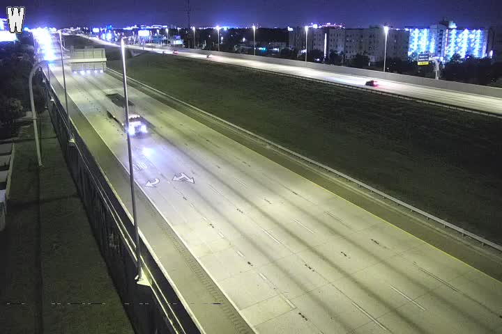
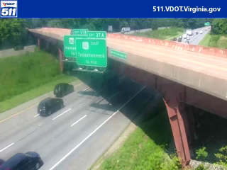
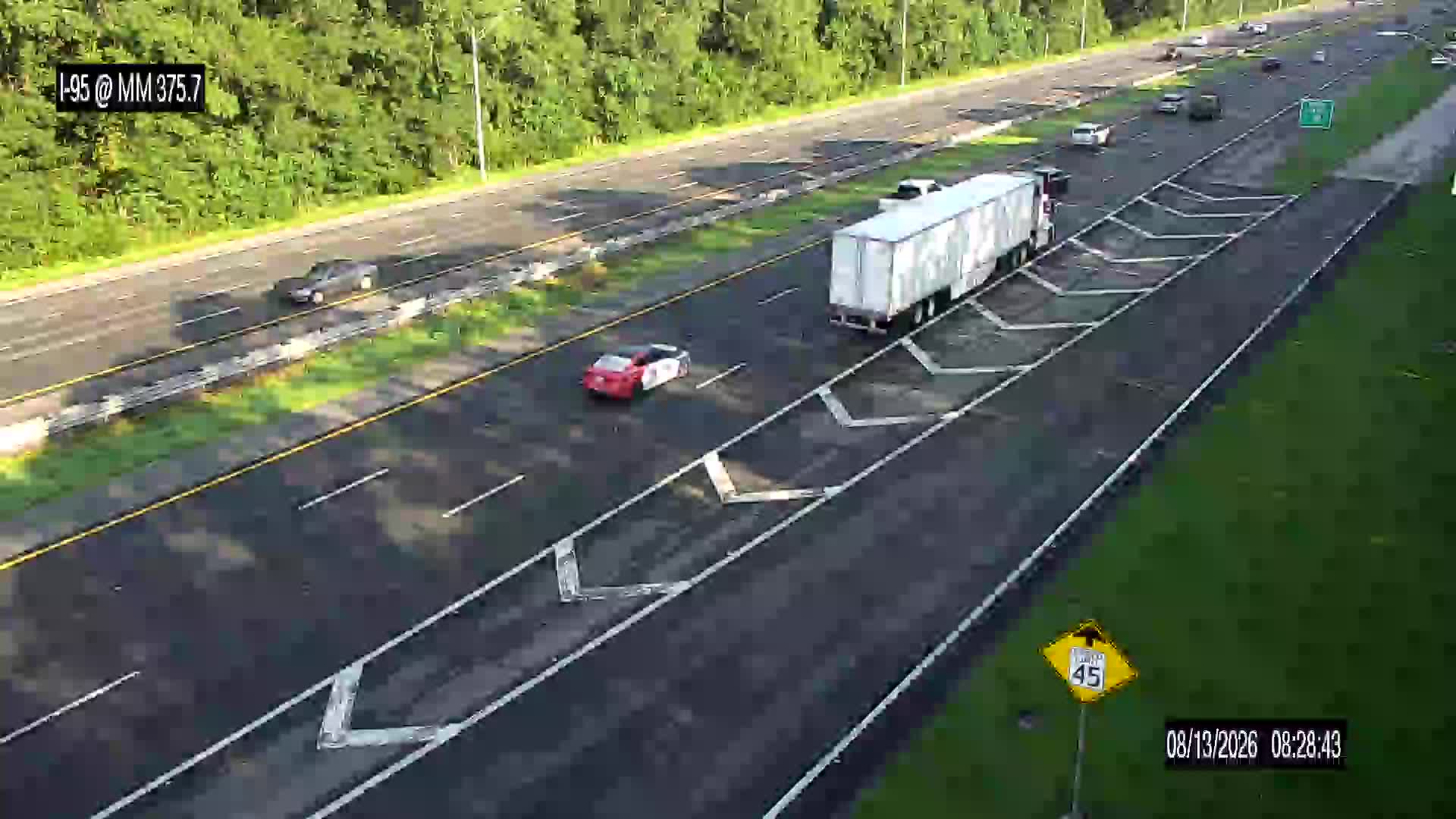
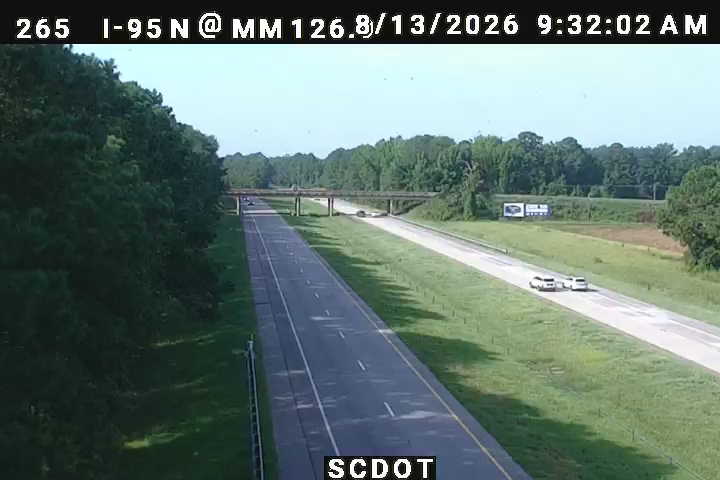
Traffic Cameras

See recent road conditions along your route

Images are snapshots updated periodically by state DOTs. Timestamps shown in images indicate when each photo was captured.

View all cameras

Choose your route:

Selected Route

Via I-275 → US-301 → ... → US-1 → US-9

I-275FL 326US-301US-441US-301 Alternate +19 more

Cameras shown are along this computed route

Need a custom route?
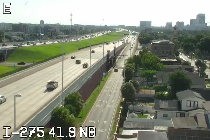
I-275
2 cameras
NB N of Dale Mabry/Himes
1

NB N of Dale Mabry/Himes

FL · NB

at Armenia Ave
2

at Armenia Ave

FL · NB

I-295
1 camera
I-295 / MM 36.3 / NB / Cold Harbor
3

I-295 / MM 36.3 / NB / Cold Harbor

Richmond, VA

VDOT 511
I-95
8 cameras
I-95 @ MM 375.7
4

I-95 @ MM 375.7

FL · NB

GDOT-1416: I-95 N before US341 MM 32.7 (Glynn)
5

GDOT-1416: I-95 N before US341 MM 32.7 (Glynn)

GA · NB
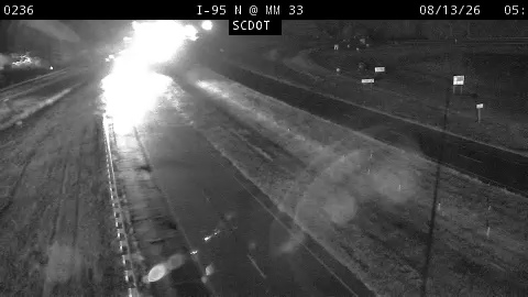
60236
6

60236

Charleston, SC ·

10265
7

10265

Columbia, SC ·

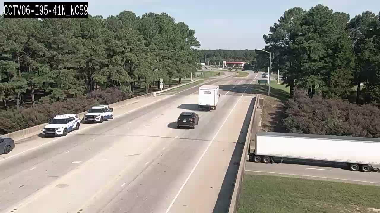
CCTV06-I95-41N_NC59
8

CCTV06-I95-41N_NC59

Cumberland, NC ·

CCTV04-I95-150N_NC33
9

CCTV04-I95-150N_NC33

Nash, NC ·

Hutchison Rover Pkwy.
10

Hutchison Rover Pkwy.

NY

CAM 87 Branford I-95 NB S/O Exit 55 - Mill Plain Rd.
11

CAM 87 Branford I-95 NB S/O Exit 55 - Mill Plain Rd.

Branford, CT · NB

US-1
1 camera
403055
12

403055

Baltimore, MD

Rest Stops Along Your Route

181 stops available

Swipe to see more

Rest Area

Near start

Open
Restrooms

Rest Area

Near start

Open
Restrooms

Pasco County Rest Area Southbound

53 • SB • Near start

Open
Restrooms

Pasco County Rest Area Northbound

42 • NB • Near start

Open
Restrooms

Flying J Travel Center

Near start

Open
Restrooms
Fuel
Food

Rest Area

Near start

Open
Restrooms
Fuel
Food

Sumter County Rest Area Northbound

50191 • NB • Near start

Open
Restrooms

Wildwood I-75 Weigh Station Northbound

50661 • NB • 6% along route

Open
Restrooms

Rest Area

6% along route

Open
Restrooms

Pilot Travel Center

6% along route

Open
Restrooms
Fuel
Food

Marion County Rest Area Northbound

NB • 6% along route

Open
Restrooms

Pilot Travel Center

424 • 7% along route

Open
Restrooms
Fuel
Food

Love's Travel Stop

363 • 7% along route

Open
Restrooms
Fuel
Food

Pilot Travel Center

7% along route

Open
Restrooms
Fuel
Food

Love's Travel Stop

9% along route

Open
Restrooms
Fuel
Food

Pilot Travel Center

10% along route

Open
Restrooms
Fuel
Food

Pilot Travel Center

13% along route

Open
Restrooms
Fuel
Food

Rest Area

13% along route

Open
Restrooms
Fuel
Food

Rest Area

15% along route

Open
Restrooms

Official Florida Welcome Center

20310 • 15% along route

Open
Restrooms
Info

Rest Area

15% along route

Open
Restrooms

Georgia Visitor Information Center

15% along route

Open
Restrooms

Pilot Travel Center

15% along route

Open
Restrooms
Fuel
Food

Pilot Travel Center

15% along route

Open
Restrooms
Fuel
Food

Petro Stopping Centers

0344 • 16% along route

Open
Restrooms
Fuel
Food

Rest Area

16% along route

Open
Restrooms

Rest Area

16% along route

Open
Restrooms

Circle K

16% along route

Open
Restrooms

Rest Area

16% along route

Open
Restrooms

TA

0258 • 17% along route

Open
Restrooms
Fuel
Food

Rest Area

17% along route

Open
Restrooms

QuikTrip

7136 • 17% along route

Open
Restrooms
Fuel
Food

Love's Travel Stop

17% along route

Open
Restrooms
Fuel
Food

Flying J Travel Center

627 • 17% along route

Open
Restrooms
Fuel
Food

Rest Area

18% along route

Open
Restrooms

Rest Area

19% along route

Open
Restrooms

Rest Area

21% along route

Open
Restrooms

TA

0177 • 22% along route

Open
Restrooms
Fuel
Food

Love's Travel Stop

22% along route

Open
Restrooms
Fuel
Food

Fire Station

22% along route

Open
Restrooms

Mr. Fuel Travel Center

23% along route

Open
Restrooms
Fuel
Food

Love's Travel Stop

23% along route

Open
Restrooms
Fuel
Food

Rest Area

23% along route

Open
Restrooms
Fuel
Food

Rest Area

23% along route

Open
Restrooms
Fuel
Food

Rest Area

23% along route

Open
Restrooms

Pilot Travel Center

23% along route

Open
Restrooms
Fuel
Food

Georgia Visitor Information Center

23% along route

Open
Restrooms
Fuel
Food

Rest Area

23% along route

Open
Restrooms

South Carolina Welcome Center - Hardeeville

24% along route

Open
Restrooms

Pilot Travel Center

24% along route

Open
Restrooms
Fuel
Food

QuikTrip

7135 • 24% along route

Open
Restrooms
Fuel
Food

Love's Travel Stop

26% along route

Open
Restrooms
Fuel
Food

Rest Area

27% along route

Open
Restrooms
Picnic

Rest Area

27% along route

Open
Restrooms
Picnic

Rest Area

29% along route

Open
Restrooms

Rest Area

29% along route

Open
Restrooms

Flying J Travel Center

29% along route

Open
Restrooms
Fuel
Food

Pilot Travel Center

30% along route

Open
Restrooms
Fuel
Food

Rest Area

31% along route

Open
Restrooms

Rest Area

31% along route

Open
Restrooms

Love's Travel Stop

32% along route

Open
Restrooms
Fuel
Food

TA

0179 • 32% along route

Open
Restrooms
Fuel
Food

Rest Area

34% along route

Open
Restrooms

Rest Area

34% along route

Open
Restrooms

TA

0195 • 36% along route

Open
Restrooms
Fuel
Food

Pilot Travel Center

36% along route

Open
Restrooms
Fuel
Food

Petro Stopping Centers

0393 • 36% along route

Open
Restrooms
Fuel
Food

Pilot Travel Center

37% along route

Open
Restrooms
Fuel
Food

Buc-ee's

37% along route

Open
Restrooms
Fuel
Food

Flying J Travel Center

37% along route

Open
Restrooms
Fuel
Food

Pilot Travel Center

37% along route

Open
Restrooms
Fuel
Food

Love's Travel Stop

371 • 38% along route

Open
Restrooms
Fuel
Food

Rest Area

38% along route

Open
Restrooms
Fuel
Food

Rest Area

39% along route

Open
Restrooms

North Carolina Welcome Center

39% along route

Open
Restrooms

Cumberland County I-95 Northbound Rest Area

NB • 43% along route

Open
Restrooms

Pilot Travel Center

43% along route

Open
Restrooms
Fuel
Food

Love's Travel Stop

412 • 45% along route

Open
Restrooms
Fuel
Food

I-95 Southbound ─ Johnston County

SB • 47% along route

Open
Restrooms

I-95 Northbound ─ Johnston County

NB • 47% along route

Open
Restrooms

Pilot Travel Center

47% along route

Open
Restrooms
Fuel
Food

Petro Stopping Centers

0395 • 47% along route

Open
Restrooms
Fuel
Food

Northbound Nash County Rest Area

NB • 50% along route

Open
Restrooms

ONE9 Travel Center

58 • 53% along route

Open
Restrooms
Fuel
Food
WiFi

North Carolina Welcome Center

53% along route

Open
Restrooms

Rest Area

53% along route

Open
Restrooms

Rest Area

53% along route

Open
Restrooms

Virginia Welcome Center

53% along route

Open
Restrooms

Love's Travel Stop

317 • 53% along route

Open
Restrooms
Fuel
Food

Pilot Travel Center

53% along route

Open
Restrooms
Fuel
Food

Pilot Travel Center

54% along route

Open
Restrooms
Fuel
Food

Davis Travel Centers - Stony Creek

55% along route

Open
Restrooms
Fuel
Food

Carson Safety Rest Area

55% along route

Open
Restrooms

Roady's Truck Stops

56% along route

Open
Restrooms
Fuel
Food

Love's Travel Stop

56% along route

Open
Restrooms
Fuel
Food

Pilot Travel Center

56% along route

Open
Restrooms
Fuel
Food

Pilot Travel Center

57% along route

Open
Restrooms
Fuel
Food

Dorey Park Maintenance Facility

58% along route

Open
Restrooms

TA

0142 • 59% along route

Open
Restrooms
Fuel
Food

TA

0001 • 60% along route

Open
Restrooms
Fuel
Food

Flying J Travel Center

60% along route

Open
Restrooms
Fuel
Food

Love's Travel Stop

435 • 60% along route

Open
Restrooms
Fuel
Food

Mr. Fuel Travel Center

60% along route

Open
Restrooms
Fuel
Food

Flying J Travel Center

876 • 60% along route

Open
Restrooms
Fuel
Food
WiFi

Ladysmith Safety Rest Area North

61% along route

Open
Restrooms

Ladysmith Safety Rest Area south

61% along route

Open
Restrooms

Virginia Welcome Center

62% along route

Open
Restrooms

Dale City Car-Only Safety Rest Area South

64% along route

Open
Restrooms

Dale City Car-Only Safety Rest Area North

64% along route

Open
Restrooms

Rest Area

64% along route

Open
Restrooms

Rest Area

64% along route

Open
Restrooms

Rest Area

66% along route

Open
Restrooms

Rest Area

68% along route

Open
Restrooms

Rest Area

68% along route

Open
Restrooms

TA

0151 • 68% along route

Open
Restrooms
Fuel
Food

Rest Area

69% along route

Open
Restrooms

TA

0216 • 69% along route

Open
Restrooms
Fuel
Food

Maryland House Service Area

71% along route

Open
Restrooms

ONE9 Travel Center

72% along route

Open
Restrooms
Fuel
Food
WiFi

Chesapeake House

73% along route

Open
Restrooms

Flying J Travel Center

73% along route

Open
Restrooms
Fuel
Food

Flying J Travel Center

74% along route

Open
Restrooms
Fuel
Food

TA

0019 • 74% along route

Open
Restrooms

Rest Area

74% along route

Open
Restrooms

Rest Area

74% along route

Open
Restrooms

Flying J Travel Center

688 • 75% along route

Open
Restrooms
Fuel
Food

Rest Area

75% along route

Open
Restrooms
Fuel
Food

Pilot Travel Center

253 • 75% along route

Open
Restrooms
Fuel
Food

Deepwater Rest Area

75% along route

Open
Restrooms
Mo-Su 07:30-15:45 Directions

Rest Area

75% along route

Open
Restrooms

John Fenwick Service Area

76% along route

Open
Restrooms

Clara Barton Service Area

76% along route

Open
Restrooms

TA

0218 • 77% along route

Open
Restrooms
Fuel
Food

Walt Whitman Service Area

78% along route

Open
Restrooms

Rest Area

79% along route

Open
Restrooms
Fuel
Food

James Fenimore Service Area

79% along route

Open
Restrooms

Love's Travel Stop

404 • 80% along route

Open
Restrooms
Fuel
Food

Petro Stopping Centers

0314 • 80% along route

Open
Restrooms
Fuel
Food

Richard Stockton Travel Plaza

80% along route

Open
Restrooms

Woodrow Wilson Service Area

80% along route

Open
Restrooms

Molly Pitcher Service Area

82% along route

Open
Restrooms
Picnic
WiFi

Joyce Kilmer

82% along route

Open
Restrooms

Rest Area

83% along route

Open
Restrooms

Jon Bon Jovi Service Area

83% along route

Open
Restrooms

Grover Cleveland Service Area

83% along route

Open
Restrooms

Thomas Edison Service Area

83% along route

Open
Restrooms

Whitney Houston Service Area

84% along route

Open
Restrooms

BUS STOP

84% along route

Open
Restrooms

Rest Area

84% along route

Open
Restrooms

Rest Area

84% along route

Open
Restrooms

Pilot Travel Center

84% along route

Open
Restrooms
Fuel
Food

Alexander Hamilton Service Area

85% along route

Open
Restrooms

Rest Area

85% along route

Open
Restrooms

Vince Lombardi Service Area

85% along route

Open
Restrooms

Rest Area

87% along route

Open
Restrooms

Rest Area

87% along route

Open
Restrooms

Rest Area

88% along route

Open
Restrooms

RT. 15 New Canaan SB Service Plaza

SB • 88% along route

Open
Restrooms

RT. 15 New Canaan NB Service Plaza

NB • 88% along route

Open
Restrooms

Rest Area

88% along route

Open
Restrooms

TOWN FAIR TIRE

88% along route

Open
Restrooms

I-95 Fairfield NB Service Plaza

NB • 89% along route

Open
Restrooms

I-95 Fairfield SB Service Plaza

SB • 89% along route

Open
Restrooms

RT. 15 Fairfield SB Service Plaza

SB • 90% along route

Open
Restrooms

RT. 15 Fairfield NB Service Plaza

NB • 90% along route

Open
Restrooms

Rest Area

91% along route

Open
Restrooms

Rest Area

91% along route

Open
Restrooms

Pilot Travel Center

91% along route

Open
Restrooms
Fuel
Food

Milford Travel Plaza Southbound

SB • 91% along route

Open
Restrooms

Milford Travel Plaza Northbound

NB • 91% along route

Open
Restrooms

TA

0171 • 92% along route

Open
Restrooms
Fuel
Food

Madison, CT - North

93% along route

Open
Restrooms
Fuel
Food
WiFi

I-95 Rest Area

94% along route

Open
Restrooms

Rest Area

Near destination

Open
Restrooms

I-95 Rest Area

Near destination

Open
Restrooms

Rest Area

Near destination

Open
Restrooms

Pilot Travel Center

Near destination

Open
Restrooms
Fuel
Food

Rest Area

Near destination

Open
Restrooms

I-95 Rest Area

Near destination

Open
Restrooms

I-95 Rest Area

Near destination

Open
Restrooms

TA

0253 • Near destination

Open
Restrooms
Fuel
Food
🔔

Get Weather Alerts for This Route

We'll notify you when conditions change before your trip. Never drive into a surprise storm again.

Recent Weather Events on This Route

Premium users received alerts for these conditions:

  • 🌧️
    Aug 11: Heavy rain expected near 34.7° - consider afternoon departure

Don't miss the next alert →

Driving from Tampa, FL to Newport, RI covers 1465 miles in roughly 24h 34m of drive time, crossing state lines. We track 12 live traffic cameras and 181 rest areas along this corridor so you can plan around them. On a drive this length, weather can change dramatically between stops. Use the segment-by-segment forecast below to time your route.

7-Day Driving Outlook

Today

Aug 13

☁️🌧️

94° / 78°

20% precip

Caution

Tomorrow

Aug 14

⛈️🌦️

88° / 78°

49% precip

Avoid

Sat

Aug 15

⛈️☁️

99° / 79°

27% precip

Avoid

Sun

Aug 16

🌦️🌧️

97° / 80°

15% precip

Caution

Mon

Aug 17

☁️🌧️

96° / 81°

12% precip

Caution

Tue

Aug 18

☀️🌧️

95° / 81°

22% precip

Safe

Wed

Aug 19

☁️

96° / 82°

28% precip

Safe

🗓️ Weekend Outlook

Saturday

Use Caution

⚠️ Hazardous conditions expected - Thunderstorm

Sunday

Good to Go

🌦️ Slight rain showers at origin, 🌧️ Moderate drizzle at destination

Plan This Route

Get hour-by-hour weather forecasts, real-time traffic, and find the optimal departure time.

🚗 Live traffic included

See if current slowdowns affect your drive time

Open in Planner

Free • No sign-up required

Current Conditions

Tampa, FL

☀️

81°F

Wind: 3 mph

Newport, RI

☁️

69°F

Wind: 6 mph

Weather data updated in real-time

Driving from Tampa, FL to Newport, RI

The 1,465-mile drive from Tampa to Newport is an epic northeast corridor adventure that will take you approximately 24 hours and 34 minutes of driving time. You'll begin your journey by heading north on I-75 through Florida's central spine, passing through the heartland before connecting to I-95, which you'll follow for the majority of this trip up the entire Eastern Seaboard. This major interstate route is the backbone of American commerce and leisure travel, so expect moderate to heavy traffic through major metropolitan areas, particularly around Jacksonville, Savannah, Charlotte, and Washington D.C. Once you break free from the I-95 corridor in Massachusetts, you'll transition onto I-195 and Route 138 for the final approach into Newport, where you'll exchange the monotony of interstate driving for the scenic coastal charm of Rhode Island.

Throughout this journey, you'll experience significant transitions in terrain and geography. The first segment through Florida and into Georgia is relatively flat and subtropical, with occasional elevation as you move through the Carolinas. The Appalachian foothills become more pronounced as you push through North Carolina and into the mid-Atlantic states, though I-95 navigates these mountains efficiently without extreme grades. By the time you reach Virginia and Maryland, you'll notice the landscape becoming greener and more densely forested, and the final Massachusetts stretch introduces rolling New England terrain before depositing you into Rhode Island's coastal environment.

You'll pass through or near some of America's most significant cities and landmarks along this route, including Savannah's historic downtown, the bustling Washington D.C. metropolitan area, Philadelphia's urban corridor, New York City's outer reaches, and Boston's suburban sprawl before arriving in the picturesque coastal town of Newport. This drive balances substantial urban stretches with stretches of rural highway, particularly through the Carolinas and central Virginia.

For the most pleasant driving experience, plan this trip during spring or fall when temperatures are moderate and summer vacation traffic hasn't peaked. Winter can present challenging conditions through the northern states, while summer brings intense heat through Florida and Georgia and congested highways throughout.

The 1465-mile drive from Tampa, Florida to Newport, Rhode Island takes approximately 24h 34m under normal conditions. Weather along this route can vary significantly, especially across varying terrain where weather conditions can change rapidly. Route Outlook helps you find the safest time to travel by showing you weather conditions at every point along your route, timed to when you'll actually be there.

Common Weather Hazards on This Route

  • Severe thunderstorms and flash flooding (spring and summer)
  • Hurricane and tropical storm impacts (June through November)

Seasonal Driving Considerations

The Northeast corridor sees the full range of seasonal weather. Nor'easters from November through March can dump heavy snow and create whiteout conditions, while ice storms make roads treacherous. Summer and fall offer excellent driving conditions, though fall foliage season brings heavier traffic on scenic routes. Spring can bring unpredictable rain and residual freeze-thaw damage to road surfaces.

Best Time to Drive Tampa to Newport

For long drives like this 1465-mile journey, planning is essential. Consider breaking the trip into segments if weather looks challenging. The best approach is to check conditions for multiple departure times using Route Outlook's optimizer, which considers weather at each point when you'll actually be there.

Driving Strategy

Covering 1465 miles from Tampa to Newport is a full-day or multi-day drive that requires advance planning. Break the route into manageable segments, planning fuel and rest stops every 2-3 hours. Weather that looks fine at departure may deteriorate significantly at the midpoint. Consider booking overnight accommodation if the forecast shows deteriorating conditions in the latter half. Route Outlook's segment-level weather data helps you identify exactly where and when conditions will change.

Pro Tip

Use Route Outlook's departure optimizer to find the best time to leave. Our 4D trajectory engine considers weather at each point along your route at the exact time you'll be there — not just at your destination. It also integrates live data from traffic cameras, DOT 511 feeds, and road weather sensors.

Frequently Asked Questions

How long is the drive from Tampa to Newport?

The drive is approximately 1465 miles and takes about 24h 34m under normal traffic and weather conditions. Severe weather can add significant time to your trip.

What's the best day to drive this route?

Based on current forecasts, Tuesday, Aug 18 looks ideal. Low chance of precipitation with manageable conditions

Is it safe to drive from Tampa to Newport today?

Current conditions show medium risk along this route. Use caution and allow extra time. Reduce speed and increase following distance as conditions warrant.

Are there rest areas on the Tampa to Newport route?

Yes, there are 181 rest areas along this route. Facilities include restrooms, parking, and in some cases picnic areas and vending machines. Rest stops are spaced throughout the drive, so you'll never be too far from a break.

Can I see live traffic cameras on this route?

Yes, Route Outlook shows 12 live traffic cameras along this route, sourced from state DOT feeds. You can check road visibility, traffic flow, and pavement conditions in real time before and during your drive.

What highways does this route use?

This route primarily uses I-275, I-295, I-95 (New Jersey Turnpike Eastern Spur), US-1. Conditions can vary between highway segments, so check live camera feeds and road condition reports for each stretch before departing.

Are there any road closures on this route right now?

No significant incidents or road closures are currently reported along this route. Conditions can change quickly — this page updates automatically with the latest data from state DOT 511 systems.

Don't Drive Blind Into Weather

Route Outlook shows you conditions at every point along your route—at the exact time you'll be there.

Open Planner