
Brookhaven, MS → Atlanta, GA
383 mi · 7h 39m (driving)
Current Risk
High Risk
Freeze Warning in effect — consider delaying
Get an email if snow, ice or storms hit this route before you leave.
Free. One email to confirm, then only when conditions change. Unsubscribe in one click.
Brookhaven
48°
Lauderdale County
49°
Coosa County
48°
Atlanta
42°
Trip Briefing
3 segments · 383 mi · 7h 39m
Weather
☀️ Clear sky
49°F, wind 9 mph
Rest Stops
13
Restrooms, Truck svc, WiFi
Clear driving conditions expected
Rest stops in this segment:
- ● Fleetway Travel Center 🚻
- ● Rest Area 🚻
- ● Rest Area 🚻
+ 2 more alerts
Weather May Slow Traffic
Active weather advisory — expect slower travel · 1 construction zone on route
1 Construction Zone on Route
GA-3 northbound: Road construction at DEERING RD. Right lane blocked.
Highway Message Signs
I-20 GDOT-DMS-0916
WEEKEND I-285 CLOSURE | EXIT 15 - 18 IN COBB | FRI 7PM - MON 5AM | WEEKEND I-285 CLOSURE | EXIT 15 - 18 IN COBB | PLAN ALTERNATE ROUTES
I-20 GDOT-DMS-0055
WEEKEND I-285 CLOSURE | EXIT 15 - 18 IN COBB | FRI 7PM - MON 5AM | WEEKEND I-285 CLOSURE | EXIT 15 - 18 IN COBB | PLAN ALTERNATE ROUTES
I-285 GDOT-DMS-0212
WEEKEND I-285 CLOSURE | EXIT 15 - 18 IN COBB | FRI 7PM - MON 5AM | WEEKEND I-285 CLOSURE | EXIT 15 - 18 IN COBB | PLAN ALTERNATE ROUTE
I-285 GDOT-DMS-0211
WEEKEND I-285 CLOSURE | EXIT 15 - 18 IN COBB | FRI 7PM - MON 5AM | WEEKEND I-285 CLOSURE | EXIT 15 - 18 IN COBB | PLAN ALTERNATE ROUTES
Traffic Cameras
See recent road conditions along your route
Images are snapshots updated periodically by state DOTs. Timestamps shown in images indicate when each photo was captured.
Choose your route:
Selected Route
Via I-55 North → I-20 → I-459 North
Cameras shown are along this computed route
Need a custom route?
GDOT-1370: I-20 E before SR100 MM 1.1 (Haralson)
GA · EB
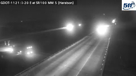
GDOT-1121: I-20 E at SR100 MM 5 (Haralson)
GA · EB
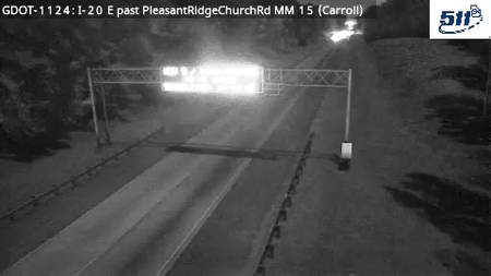
GDOT-1124: I-20 E past PleaSSPtRidgeChurchRd MM 15 (Carroll)
GA · EB
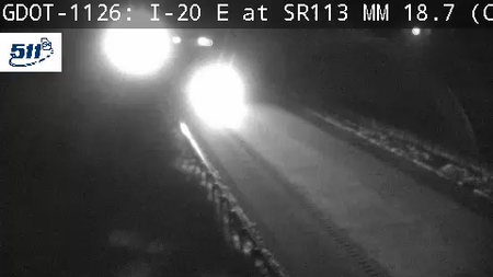
GDOT-1126: I-20 E at SR113 MM 19 (Carroll)
GA · EB
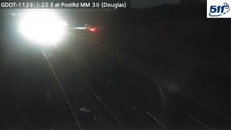
GDOT-1129: I-20 E at PostRd MM 30 (Douglas)
GA · EB
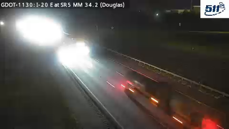
GDOT-1130: I-20 E at SR5 MM 34.2 (Douglas)
GA · EB
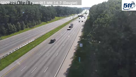
GDOT-0294: I-20 E past SR5 MM 34.7 (Douglas)
GA · EB
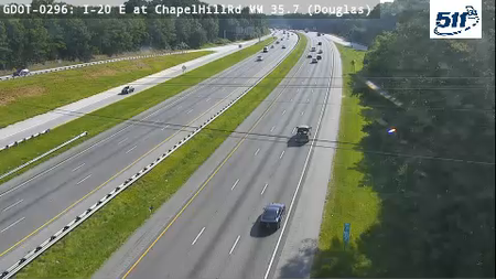
GDOT-0296: I-20 E at ChapelHillRd MM 35.7 (Douglas)
GA · EB

GDOT-0297: I-20 E past PrestleyMillRd MM 36.3 (Douglas)
GA · EB
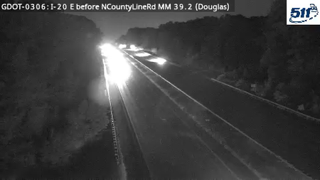
GDOT-0306: I-20 E before NCountyLineRd MM 39.2 (Douglas)
GA · EB

GDOT-0308: I-20 E before LeeRd MM 40.5 (Douglas)
GA · EB
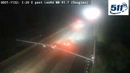
GDOT-1132: I-20 E past LeeRd MM 41.7 (Douglas)
GA · EB
Live traffic on this route
Cameras, crashes and closures right now on the highways this drive uses.
Rest Stops Along Your Route
54 stops available
Swipe to see moreShowing 1-2 of 54

Sponsor
Get Weather Alerts for This Route
We'll notify you when conditions change before your trip. Never drive into a surprise storm again.
⚡ Recent Weather Events on This Route
Premium users received alerts for these conditions:
- 🌧️Nov 11: Rain advisory for afternoon departures
- ❄️Nov 9: Snow expected at higher elevations - consider earlier departure
- 🌫️Nov 6: Dense fog warning for morning travel
Don't miss the next alert →
Driving from Brookhaven, MS to Atlanta, GA covers 383 miles in roughly 7h 39m of drive time, crossing state lines. We track 12 live traffic cameras, 54 rest areas and 5 active weather alerts along this corridor so you can plan around them. Most drivers do this trip in one day; weather along the route matters more than the forecast at either endpoint, since you'll cross several climate zones.
7-Day Driving Outlook
Today
Nov 13
59° / 48°
No precip
Tomorrow
Nov 14
57° / 38°
No precip
Sun
Nov 15
58° / 42°
No precip
Mon
Nov 16
58° / 48°
No precip
Tue
Nov 17
65° / 45°
No precip
Wed
Nov 18
69° / 51°
No precip
Thu
Nov 19
74° / 55°
No precip
🗓️ Weekend Outlook
Saturday
Good to Go⛅ Partly cloudy at origin, ☀️ Clear sky at destination
Sunday
Good to Go☁️ Overcast at origin, ⛅ Partly cloudy at destination
Plan This Route
Get hour-by-hour weather forecasts, real-time traffic, and find the optimal departure time.
🚗 Live traffic included
See if current slowdowns affect your drive time
Free • No sign-up required
Current Conditions
Brookhaven, MS
48°F
Wind: 8 mph
Atlanta, GA
42°F
Wind: 8 mph
Weather data updated in real-time
Driving from Brookhaven, MS to Atlanta, GA
The 383-mile drive from Brookhaven, Mississippi to Atlanta, Georgia takes approximately 7h 39m under normal conditions. Weather along this route can vary significantly, especially across varying terrain where weather conditions can change rapidly. Route Outlook helps you find the safest time to travel by showing you weather conditions at every point along your route, timed to when you'll actually be there.
This long-distance route crosses state lines from Mississippi into Georgia, connecting Brookhaven and Atlanta. Covering 383 miles, this is a substantial drive that will take you through diverse terrain and weather patterns. Planning ahead with real-time conditions along the entire route — not just at your destination — is essential for a safe trip.
Common Weather Hazards on This Route
- Severe thunderstorms and flash flooding (spring and summer)
- Hurricane and tropical storm impacts (June through November)
Seasonal Driving Considerations
Weather along this route varies by season. Winter months can bring snow, ice, and reduced visibility, while summer may see thunderstorms, heat-related road issues, or construction zones. Spring and fall generally offer the most comfortable driving conditions but can still surprise with sudden weather changes. Regardless of season, checking real-time conditions along your entire route before departing can help you avoid the worst of it.
Best Time to Drive Brookhaven to Atlanta
For medium-distance drives like this 383-mile route, consider starting in the early morning to arrive before afternoon storms develop. Check the 7-day forecast above to find a day with favorable conditions along the entire route.
Driving Strategy
A 383-mile drive from Brookhaven to Atlanta takes a significant part of the day. Plan at least one fuel and rest stop along the way. If your route crosses elevation changes or state lines, expect weather conditions to shift mid-trip. Monitor the segment-by-segment forecast rather than just checking destination weather. Starting early in the morning typically avoids afternoon storm development and rush-hour congestion near urban areas.
Pro Tip
Use Route Outlook's departure optimizer to find the best time to leave. Our 4D trajectory engine considers weather at each point along your route at the exact time you'll be there — not just at your destination. It also integrates live data from traffic cameras, DOT 511 feeds, and road weather sensors.
Frequently Asked Questions
How long is the drive from Brookhaven to Atlanta?
The drive is approximately 383 miles and takes about 7h 39m under normal traffic and weather conditions. Severe weather can add significant time to your trip.
What's the best day to drive this route?
Based on current forecasts, Tomorrow (Nov 14) looks ideal. Clear conditions expected along the entire route
Is it safe to drive from Brookhaven to Atlanta today?
Current conditions show high risk along this route. Conditions look favorable for travel. Always stay alert and adjust speed for changing conditions.
Are there rest areas on the Brookhaven to Atlanta route?
Yes, there are 54 rest areas along this route. Facilities include restrooms, parking, and in some cases picnic areas and vending machines. Rest stops are spaced throughout the drive, so you'll never be too far from a break.
Can I see live traffic cameras on this route?
Yes, Route Outlook shows 12 live traffic cameras along this route, sourced from state DOT feeds. You can check road visibility, traffic flow, and pavement conditions in real time before and during your drive.
What highways does this route use?
This route primarily uses I-20. Conditions can vary between highway segments, so check live camera feeds and road condition reports for each stretch before departing.
Are there any road closures on this route right now?
No significant incidents or road closures are currently reported along this route. Conditions can change quickly — this page updates automatically with the latest data from state DOT 511 systems.
Related Driving Guides
Finding the Safest Time to Drive: A Data-Driven Approach
Learn how 4D trajectory analysis can help you find the optimal departure time to avoid dangerous weather and traffic.
🛣️How to Check Road Conditions Before a Trip: All Your Options
A practical guide to every method for checking driving conditions--weather apps, 511 sites, traffic cameras, radio, and more. Pros, cons, and when to use each.
🧠Route Intelligence: The Smarter Way to Plan Road Trips
Stop checking weather at your destination. Start knowing what you'll actually drive through--and when. Here's how Route Intelligence changes everything.
Road Trip Guides Through This Area
Explore More Routes
More routes from Brookhaven
More routes to Atlanta
Similar-distance drives
More routes starting in MS
Don't Drive Blind Into Weather
Route Outlook shows you conditions at every point along your route—at the exact time you'll be there.
Open Planner