
Charlotte, NC → Houston, TX
1203 mi · 20h 10m (driving)
Current Risk
Low Risk
Clear conditions along your route
Get an email if snow, ice or storms hit this route before you leave.
Free. One email to confirm, then only when conditions change. Unsubscribe in one click.
Charlotte
71°
Cobb County
72°
Sumter County
76°
Avoyelles Parish
77°
Houston
75°
Trip Briefing
4 segments · 1203 mi · 20h 11m
Weather
⛅ Partly cloudy
72°F, wind 10 mph
Incidents
5
5 critical
Rest Stops
36
Truck svc, Restrooms, WiFi
Cameras
8 live
Rest stops in this segment:
- ● Rest Area
- ● Rest Area 🚻
- ● Rest Area
Hazards Ahead
5 road closures may affect your route · 6 construction zones on route
6 Construction Zones on Route
I-485: Construction on ramp from I-485 Inner to I-85 Southbound. 1 Right Shoulder Closed.
Hazeleen Ave: Construction from Riverview Ave to Wilkinson Blvd. Lane Blocked.
I-85 southbound: Road maintenance operations at SR 109/Greenville Road. Left lane blocked.
I-10 westbound: Right lane closed near I-45
I-10: Alternating lanes closed near I-45
I-10: Alternating lanes closed near I-45
Highway Message Signs
I-85 GDOT-DMS-1016
ROADWORK | AT MILEMARKER 153 | RIGHT LANE CLOSED | ROADWORK | AT MILEMARKER 153 | EXPECT DELAYS
I-85 GDOT-DMS-0109
CRASH 4 MILES AHEAD | BEFORE PLSNT HILL | 2 LEFT LNS BLOCKED
I-85 GDOT-DMS-0009
CRASH I-85 NB | BEFORE SHALLOWFRD | 2 RIGHT LNS BLOCKED
75/85 GDOT-DMS-0014
WEEKEND CLOSURE ALERT | I-285 NB/SB EXITS 2-5 | PLAN ALTERNATE ROUTE | WEEKEND CLOSURE ALERT | I-285 NB/SB EXITS 2-5 | FRI 7PM - MON 5AM
Traffic Cameras
See recent road conditions along your route
Images are snapshots updated periodically by state DOTs. Timestamps shown in images indicate when each photo was captured.
Choose your route:
Selected Route
Via US-74 → I-85 South → ... → I-12 West → I-45 South
Cameras shown are along this computed route
Need a custom route?
CCTV10-I85-36.5S
Mecklenburg, NC ·
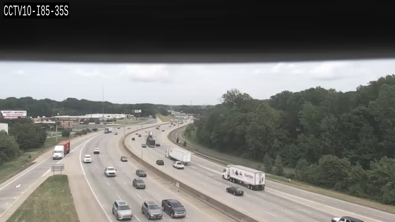
CCTV10-I85-35S
Mecklenburg, NC ·
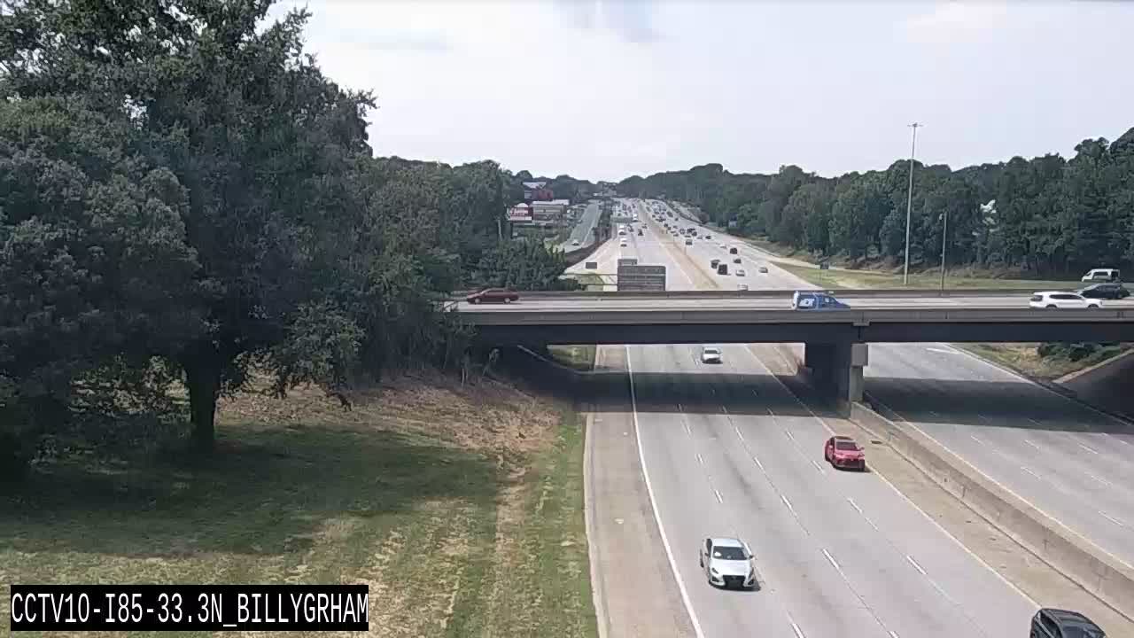
CCTV10-I85-33.3N_BILLYGRHAM
Mecklenburg, NC ·

CCTV10-I85-33.1S
Mecklenburg, NC ·

CCTV10-I85-31.5S_LITTLEROCK
Mecklenburg, NC ·
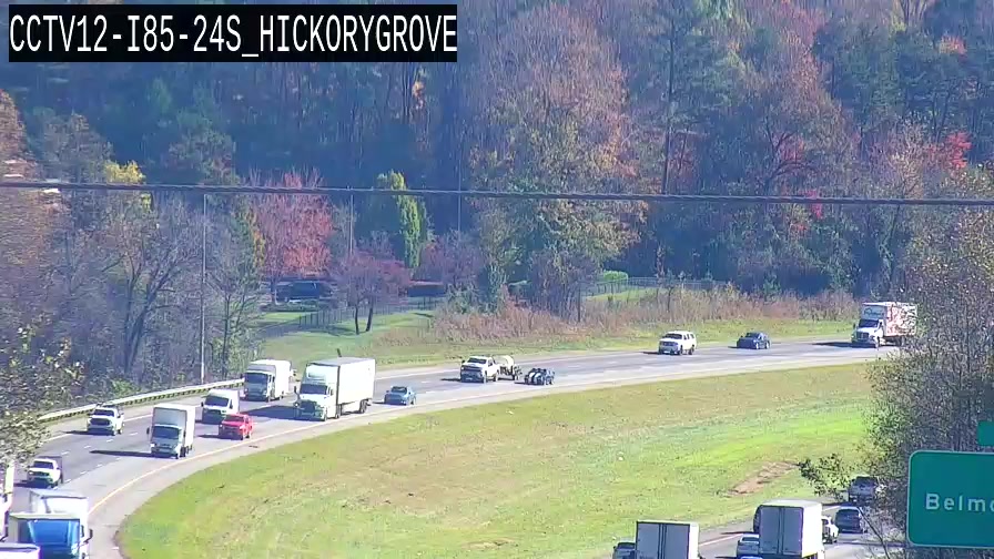
CCTV12-I85-24S_HICKORYGROVE
Gaston, NC ·
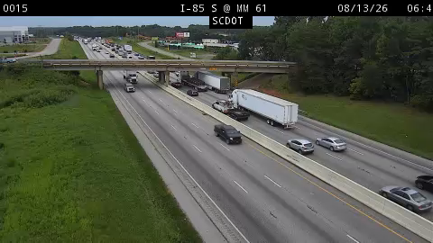
30015
Greenville, SC ·
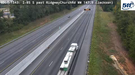
GDOT-1543: I-85 S past RidgewayChurchRd MM 147.9 (Jackson)
GA · SB

GDOT-0192: I-85 S at I-285 MM 69 (Fulton)
GA · SB

I-10 at LA 77
LA ·
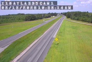
I-10 at LA 395 (Roanoke)
LA ·
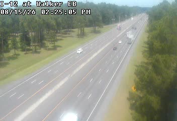
I-12 at Walker
LA ·
Live traffic on this route
Cameras, crashes and closures right now on the highways this drive uses.
Rest Stops Along Your Route
127 stops available
Swipe to see moreShowing 1-2 of 127

Get Weather Alerts for This Route
We'll notify you when conditions change before your trip. Never drive into a surprise storm again.
⚡ Recent Weather Events on This Route
Premium users received alerts for these conditions:
- 🌧️Nov 4: Rain advisory for afternoon departures
- ❄️Nov 2: Snow expected at higher elevations - consider earlier departure
- 🌫️Oct 30: Dense fog warning for morning travel
Don't miss the next alert →
Driving from Charlotte, NC to Houston, TX covers 1203 miles in roughly 20h 10m of drive time, crossing state lines. We track 12 live traffic cameras, 127 rest areas and 5 reported incidents along this corridor so you can plan around them. On a drive this length, weather can change dramatically between stops. Use the segment-by-segment forecast below to time your route.
7-Day Driving Outlook
Today
Nov 6
73° / 66°
No precip
Tomorrow
Nov 7
64° / 52°
No precip
Sun
Nov 8
64° / 43°
No precip
Mon
Nov 9
69° / 47°
No precip
Tue
Nov 10
71° / 48°
No precip
Wed
Nov 11
69° / 51°
No precip
Thu
Nov 12
67° / 48°
No precip
🗓️ Weekend Outlook
Saturday
Good to Go🌤️ Mainly clear at origin, ☁️ Overcast at destination
Sunday
Good to Go☀️ Clear sky at origin, 🌦️ Moderate rain showers at destination
Plan This Route
Get hour-by-hour weather forecasts, real-time traffic, and find the optimal departure time.
🚗 Live traffic included
See if current slowdowns affect your drive time
Free • No sign-up required
Current Conditions
Charlotte, NC
71°F
Wind: 7 mph
Houston, TX
75°F
Wind: 3 mph
Weather data updated in real-time
Driving from Charlotte, NC to Houston, TX
Your journey from Charlotte, North Carolina to Houston, Texas spans approximately 1,203 miles and requires roughly 20 hours and 11 minutes of driving time. This substantial cross-country trek primarily follows I-85 South through Georgia and Alabama, then transitions to I-75 South near Macon before connecting to I-24 West through Tennessee. From Chattanooga, you'll merge onto I-59 South into Alabama, eventually picking up I-20 East through Mississippi, and finally I-59 South into Louisiana before reaching I-10 toward Houston. The route is well-maintained throughout, with clear signage and established rest areas, making it a straightforward drive despite its considerable distance.
As you depart Charlotte's Piedmont region, you'll notice the landscape gradually transitions from rolling hills into the flatter terrain of Georgia and Alabama. The drive takes you through the outskirts of Atlanta, a major metropolitan area that requires navigation through moderate urban congestion, particularly during rush hours. Beyond Atlanta, the terrain opens into the red clay plains and pine forests characteristic of the Deep South. As you push westward into Mississippi and Louisiana, the landscape flattens considerably, and you'll encounter more rural stretches with vast agricultural areas and small towns that reflect the region's distinct character. The final approach into Houston brings you back into more developed areas as you enter the Gulf Coast region.
You'll pass through or near several significant cities that offer opportunities for breaks and meals: Macon and Atlanta in Georgia, Birmingham in Alabama, Jackson in Mississippi, and Shreveport in Louisiana all serve as natural stopping points. The drive is largely rural and highway-based outside these urban centers, which means limited services in some stretches—particularly through rural Mississippi and Louisiana—so plan fuel stops accordingly. Spring and fall represent the ideal times for this drive, offering mild temperatures and generally clear conditions. Summer heat can be intense, particularly as you approach Houston and the Gulf region, while winter occasionally brings icy conditions to the northern portions of the route around Tennessee and northern Georgia. Budget for at least two days of driving to maintain safe speed limits and avoid driver fatigue on this marathon journey.
The 1203-mile drive from Charlotte, North Carolina to Houston, Texas takes approximately 20h 10m under normal conditions. Weather along this route can vary significantly, especially along coastal regions where fog and marine weather can impact visibility. Route Outlook helps you find the safest time to travel by showing you weather conditions at every point along your route, timed to when you'll actually be there.
Common Weather Hazards on This Route
- Severe thunderstorms and flash flooding (spring and summer)
- Hurricane and tropical storm impacts (June through November)
Seasonal Driving Considerations
Coastal weather on this route can shift quickly. Marine fog is common during morning hours, especially in spring and fall, reducing visibility to near zero. Hurricane season (June through November) can bring extended road closures and dangerous conditions. During fair weather, coastal routes offer scenic driving — but always verify conditions with live traffic cameras before heading out.
Best Time to Drive Charlotte to Houston
For long drives like this 1203-mile journey, planning is essential. Consider breaking the trip into segments if weather looks challenging. The best approach is to check conditions for multiple departure times using Route Outlook's optimizer, which considers weather at each point when you'll actually be there.
Driving Strategy
Covering 1203 miles from Charlotte to Houston is a full-day or multi-day drive that requires advance planning. Break the route into manageable segments, planning fuel and rest stops every 2-3 hours. Weather that looks fine at departure may deteriorate significantly at the midpoint. Consider booking overnight accommodation if the forecast shows deteriorating conditions in the latter half. Route Outlook's segment-level weather data helps you identify exactly where and when conditions will change.
Pro Tip
Use Route Outlook's departure optimizer to find the best time to leave. Our 4D trajectory engine considers weather at each point along your route at the exact time you'll be there — not just at your destination. It also integrates live data from traffic cameras, DOT 511 feeds, and road weather sensors.
Frequently Asked Questions
How long is the drive from Charlotte to Houston?
The drive is approximately 1203 miles and takes about 20h 10m under normal traffic and weather conditions. Severe weather can add significant time to your trip.
What's the best day to drive this route?
Based on current forecasts, Today (Nov 6) looks ideal. Clear conditions expected along the entire route
Is it safe to drive from Charlotte to Houston today?
Current conditions show low risk along this route. Conditions look favorable for travel. Always stay alert and adjust speed for changing conditions.
Are there rest areas on the Charlotte to Houston route?
Yes, there are 127 rest areas along this route. Facilities include restrooms, parking, and in some cases picnic areas and vending machines. Rest stops are spaced throughout the drive, so you'll never be too far from a break.
Can I see live traffic cameras on this route?
Yes, Route Outlook shows 12 live traffic cameras along this route, sourced from state DOT feeds. You can check road visibility, traffic flow, and pavement conditions in real time before and during your drive.
What highways does this route use?
This route primarily uses I-85 South, I-10, I-12 West. Conditions can vary between highway segments, so check live camera feeds and road condition reports for each stretch before departing.
Are there any road closures on this route right now?
There are currently 5 active incidents along this route that may affect your drive. Check the incident details above for specific locations and expected durations.
Related Driving Guides
Drive Mode: Your Weather Intelligence Companion for Road Trips
Learn how Route Outlook's Drive Mode works alongside Google Maps and Waze to keep you informed about weather and road conditions while you drive.
🔗Share Your Road Trip Plans: How to Keep Family Informed and Safe
Learn how sharing your driving routes with family and friends can improve safety and provide peace of mind for everyone during your travels.
⏰Finding the Safest Time to Drive: A Data-Driven Approach
Learn how 4D trajectory analysis can help you find the optimal departure time to avoid dangerous weather and traffic.
Road Trip Guides Through This Area
Great Smoky Mountains Circuit
America's Most Visited National Park and Beyond
Texas Hill Country Loop
Wine, BBQ, and Live Music in the Heart of Texas
Route 66: Chicago to Santa Monica
The Mother Road — America's Most Famous Highway
Blue Ridge Parkway: Shenandoah to Great Smoky Mountains
America's Favorite Drive Through the Appalachians
Outer Banks: North Carolina's Barrier Islands
Wild Horses, Shipwrecks, and the Birthplace of Flight
Texas Hill Country Weekend: Austin to Fredericksburg
Live Music, BBQ, and Hill Country Wine — All Within 90 Minutes
Explore More Routes
More routes from Charlotte
More routes to Houston
Similar-distance drives
More routes starting in NC
Don't Drive Blind Into Weather
Route Outlook shows you conditions at every point along your route—at the exact time you'll be there.
Open Planner