
Cleveland, OH → Mississauga, ON
232 mi · 3h 52m (driving)
Current Risk
Low Risk
Clear conditions along your route
Cleveland
53°
Lake County
62°
Norfolk County
64°
Mississauga
61°
Trip Briefing
3 segments · 232 mi · 3h 53m
Weather
🌤️ Mainly clear
62°F, wind 10 mph
Rest Stops
10
Restrooms, Truck svc
Cameras
5 live
Clear driving conditions expected
Rest stops in this segment:
- ● Rest Area 🚻
- ● Rest Area 🚻
- ● Rest Area 🚻
Normal Traffic
29 construction zones along route — no other incidents
29 Construction Zones on Route
I-90 (NYS Thruway) eastbound: Roadwork between Exit 58 and NY 438
Chautauqua, NY
US 20: Road construction between NY 249 and NY 75
Erie, NY
US 20 in both directions: Road maintenance operations between NY 249 and NY 75
Erie, NY
US 20: Road construction between NY 249 and NY 75
Erie, NY
NY 75: Road construction between 950J and NY 5
Erie, NY
I-90 (NYS Thruway): Road construction between Exit 60 (15 miles west of the Dunkirk area) and US 62
Erie, NY
+ 23 more zones along the route — see map for full list
Traffic Cameras
See recent road conditions along your route
Images are snapshots updated periodically by state DOTs. Timestamps shown in images indicate when each photo was captured.
Your Route
Via SR-2 East → I-90 → I-90 East → I-190 North (Niagara Thruway)
Cameras shown are along this computed route
Need a custom route?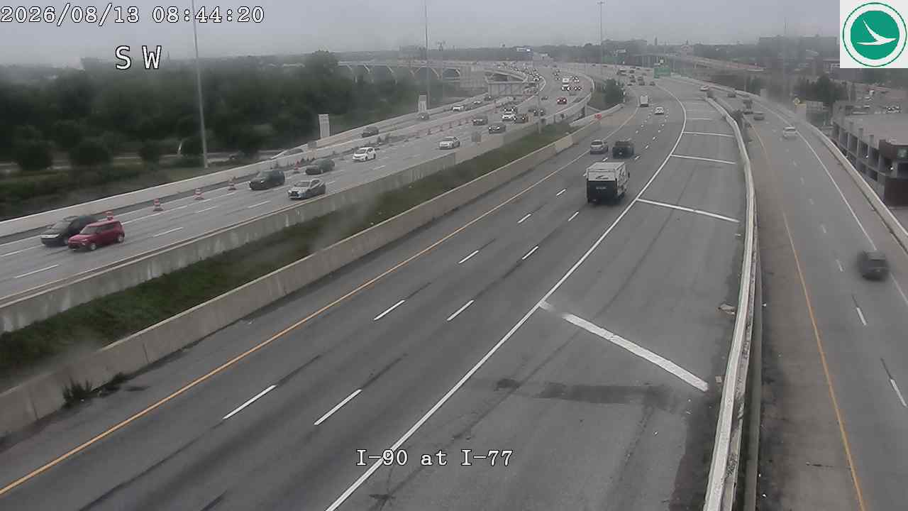
I-90 at I-77
OH
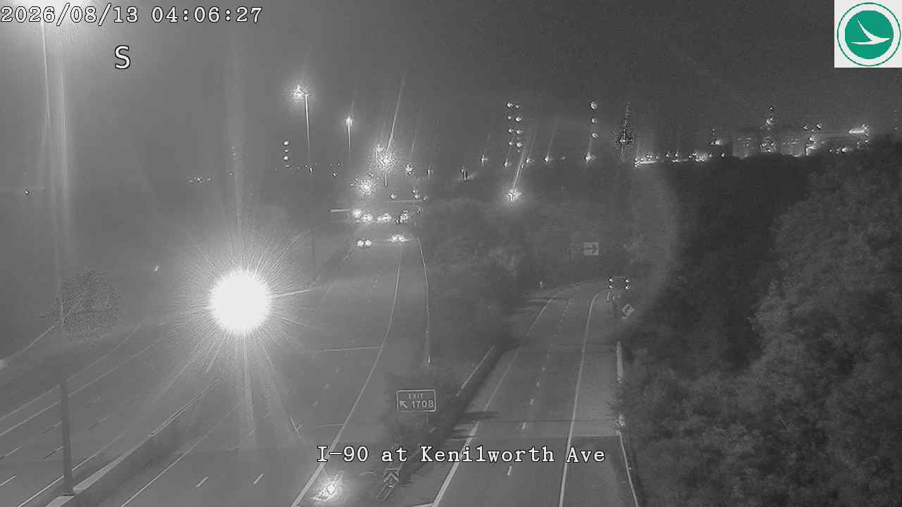
I-90 at Kenilworth Ave
OH
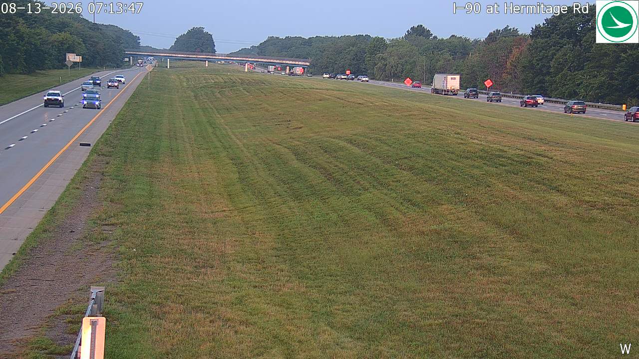
I-90 at Hermitage Rd
OH
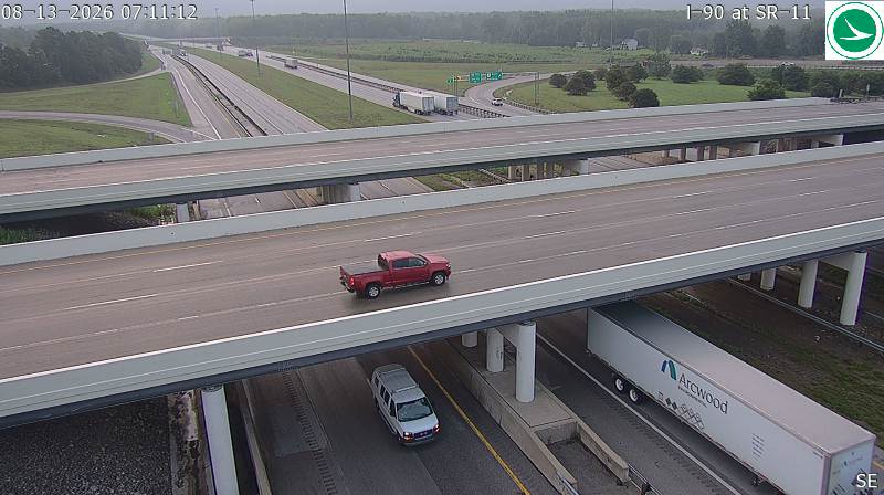
I-90 at SR-11
OH
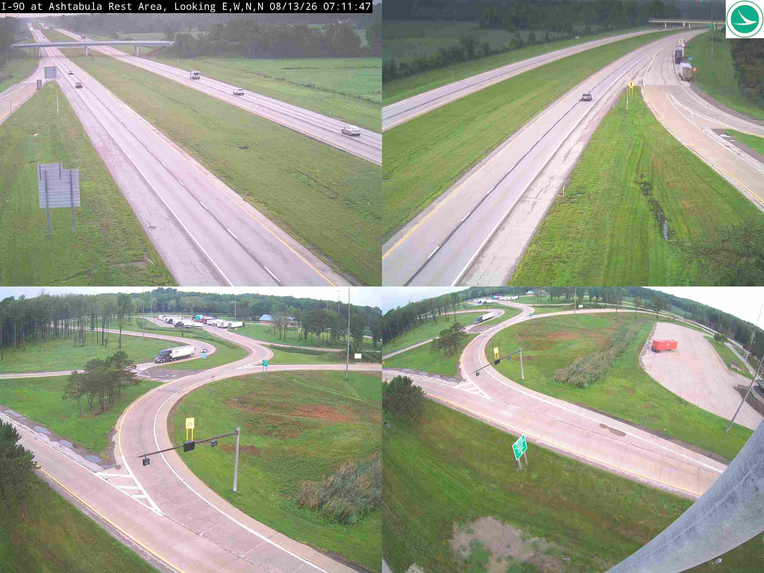
I-90 at Ashtabula Rest Area
OH

I-90 @ EXIT 24 (US 19 WATERFORD/PEACH ST)
PA · EB
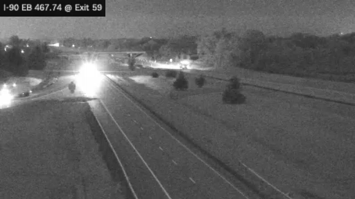
I-90 MP 467.74 EB at Interchange 59 (Dunkirk)
NY · EB
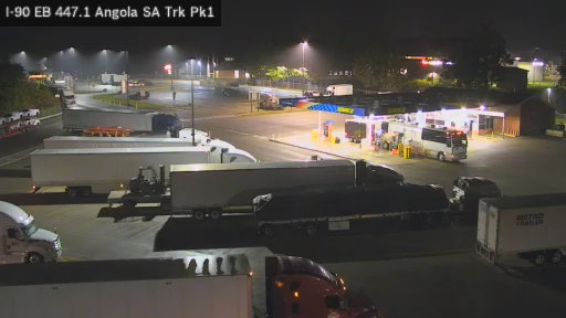
I-90 MP 447.1 EB Angola Service Area Truck Park 1
NY · EB
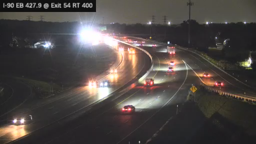
I-90 MP 427.90 EB at Interchange 54 (Route 400)
NY · EB
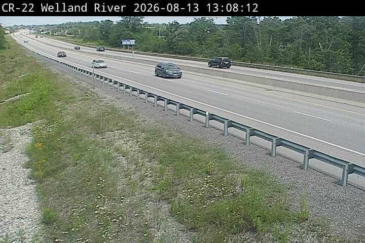
Toronto Bound
ON ·
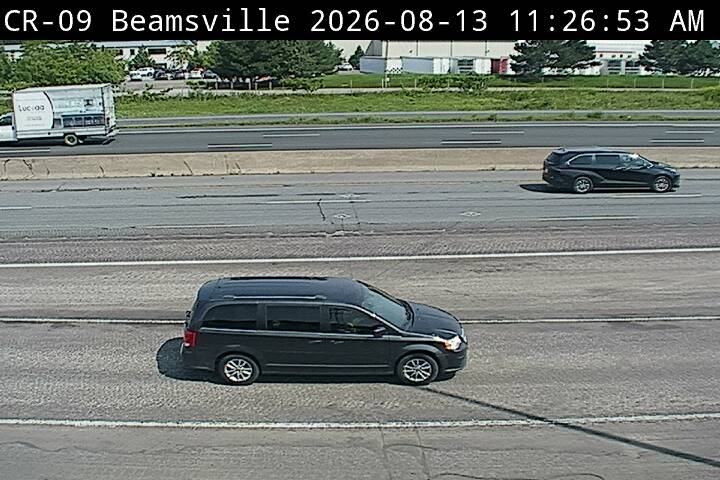
Looking Down
ON ·
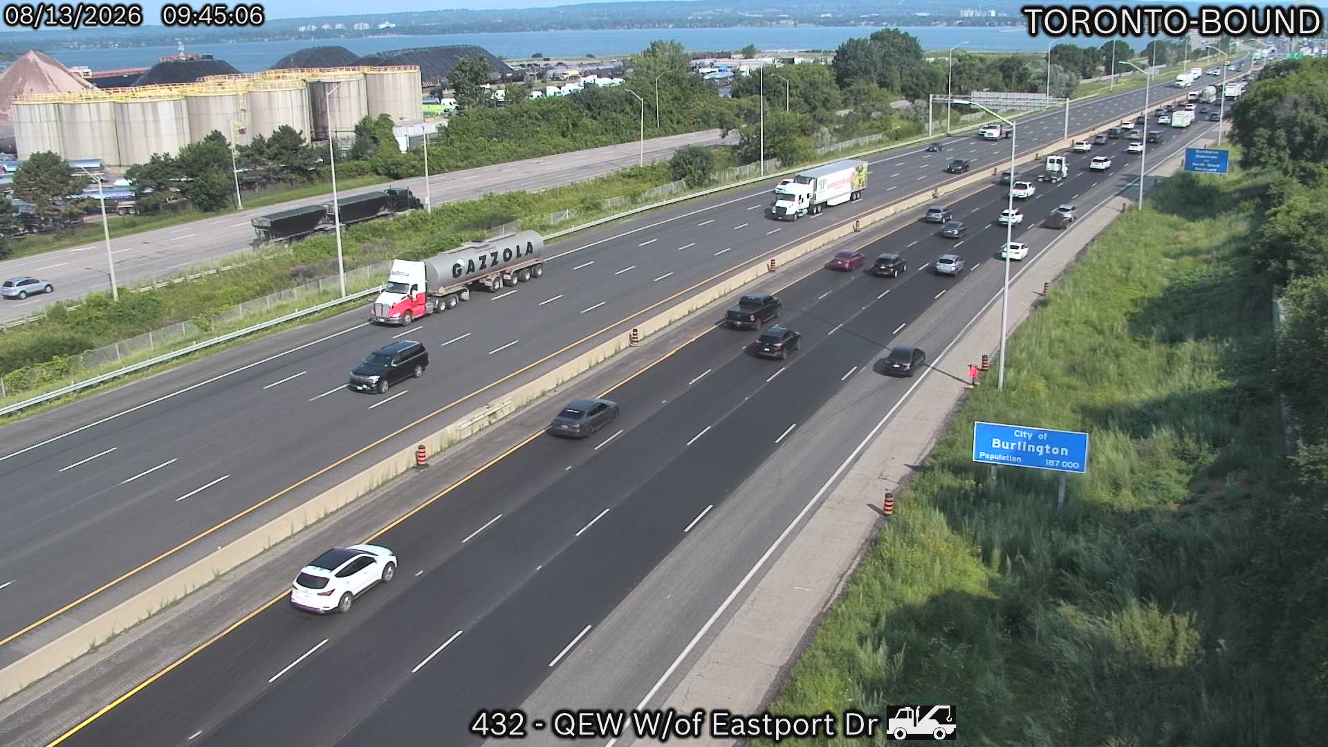
QEW West of Eastport Drive
ON ·
Rest Stops Along Your Route
27 stops available
Swipe to see moreShowing 1-2 of 27

Get Weather Alerts for This Route
We'll notify you when conditions change before your trip. Never drive into a surprise storm again.
⚡ Recent Weather Events on This Route
Premium users received alerts for these conditions:
- 🌧️Sep 27: Rain advisory for afternoon departures
- ❄️Sep 25: Snow expected at higher elevations - consider earlier departure
- 🌫️Sep 22: Dense fog warning for morning travel
Don't miss the next alert →
Driving from Cleveland, OH to Mississauga, ON covers 232 miles in roughly 3h 52m of drive time, crossing state lines. We track 12 live traffic cameras and 27 rest areas along this corridor so you can plan around them. Most drivers do this trip in one day; weather along the route matters more than the forecast at either endpoint, since you'll cross several climate zones.
7-Day Driving Outlook
Today
Sep 29
69° / 51°
No precip
Tomorrow
Sep 30
77° / 55°
2% precip
Thu
Oct 1
81° / 67°
13% precip
Fri
Oct 2
75° / 58°
61% precip
Sat
Oct 3
66° / 56°
25% precip
Sun
Oct 4
64° / 58°
26% precip
Mon
Oct 5
60° / 54°
7% precip
🗓️ Weekend Outlook
Saturday
Good to Go☁️ Overcast at origin, ⛅ Partly cloudy at destination
Sunday
Good to Go☁️ Overcast at origin, ⛅ Partly cloudy at destination
Plan This Route
Get hour-by-hour weather forecasts, real-time traffic, and find the optimal departure time.
🚗 Live traffic included
See if current slowdowns affect your drive time
Free • No sign-up required
Current Conditions
Cleveland, OH
53°F
Wind: 5 mph
Mississauga, ON
61°F
Wind: 7 mph
Weather data updated in real-time
Driving from Cleveland, OH to Mississauga, ON
Your journey from Cleveland to Mississauga unfolds as a straightforward northeasterly trek covering roughly 232 miles in under four hours, predominantly following Interstate 90 as it cuts through the industrial heartland toward the Great Lakes region. You'll begin in Cleveland's downtown area and almost immediately merge onto I-90 East, which becomes your primary corridor for the majority of this drive. The route takes you through northern Ohio's relatively flat terrain before crossing into Pennsylvania, where you'll continue on I-90 as it veers northeastward toward the Erie shoreline. Just before reaching the Canadian border, you'll briefly connect to the Queen Elizabeth Way (QEW) or cross via the Peace Bridge at Buffalo, finally merging onto the Queen Elizabeth Way that carries you directly into Mississauga.
The landscape transforms gradually as you travel northeast, transitioning from Cleveland's industrial urban sprawl into increasingly rural Ohio countryside dotted with small towns and farmland. As you approach the Pennsylvania border near the town of Edinboro, the terrain begins its subtle shift toward the Great Lakes region, with gradually rolling hills replacing the flatter plains you've left behind. The drive along I-90 through western New York offers glimpses of the broader landscape, though you're largely removed from dramatic scenic overlooks—this is primarily a utilitarian corridor through working agricultural and industrial areas rather than a sightseeing route.
The most significant consideration for this drive is the final crossing into Canada, which requires valid documentation and can add unpredictable time depending on border traffic at Niagara Falls or Buffalo. Winter driving through this region demands caution, particularly from November through March, when lake-effect snow originating from Lake Erie can create hazardous conditions, especially in the Buffalo area and along the QEW. Spring through early fall represents the ideal window for this drive, when roads are clear, visibility is excellent, and the crossing into Mississauga proceeds smoothly without seasonal complications.
The 232-mile drive from Cleveland, Ohio to Mississauga, Ontario takes approximately 3h 52m under normal conditions. Weather along this route can vary significantly, especially across open plains where severe weather and high winds can develop quickly. Route Outlook helps you find the safest time to travel by showing you weather conditions at every point along your route, timed to when you'll actually be there.
Common Weather Hazards on This Route
- Winter storms and heavy snowfall (November through April)
- Black ice on mountain passes and bridges
- Dense fog, especially during early morning hours
Seasonal Driving Considerations
The Midwest corridor of this route is susceptible to rapid weather changes. Severe thunderstorms and tornadoes are a real threat from April through June, while winter brings heavy lake-effect snow, ice storms, and dangerously low wind chill. Flat terrain means high crosswinds can affect vehicle stability year-round, especially for taller vehicles. Spring flooding can also close highway underpasses and low-lying road segments.
Best Time to Drive Cleveland to Mississauga
For medium-distance drives like this 232-mile route, consider starting in the early morning to arrive before afternoon storms develop. Check the 7-day forecast above to find a day with favorable conditions along the entire route.
Driving Strategy
A 232-mile drive from Cleveland to Mississauga takes a significant part of the day. Plan at least one fuel and rest stop along the way. If your route crosses elevation changes or state lines, expect weather conditions to shift mid-trip. Monitor the segment-by-segment forecast rather than just checking destination weather. Starting early in the morning typically avoids afternoon storm development and rush-hour congestion near urban areas.
Pro Tip
Use Route Outlook's departure optimizer to find the best time to leave. Our 4D trajectory engine considers weather at each point along your route at the exact time you'll be there — not just at your destination. It also integrates live data from traffic cameras, DOT 511 feeds, and road weather sensors.
Frequently Asked Questions
How long is the drive from Cleveland to Mississauga?
The drive is approximately 232 miles and takes about 3h 52m under normal traffic and weather conditions. Severe weather can add significant time to your trip.
What's the best day to drive this route?
Based on current forecasts, Today (Sep 29) looks ideal. Low chance of precipitation with manageable conditions
Is it safe to drive from Cleveland to Mississauga today?
Current conditions show low risk along this route. Conditions look favorable for travel. Always stay alert and adjust speed for changing conditions.
Are there rest areas on the Cleveland to Mississauga route?
Yes, there are 27 rest areas along this route. Facilities include restrooms, parking, and in some cases picnic areas and vending machines. Rest stops are spaced throughout the drive, so you'll never be too far from a break.
Can I see live traffic cameras on this route?
Yes, Route Outlook shows 12 live traffic cameras along this route, sourced from state DOT feeds. You can check road visibility, traffic flow, and pavement conditions in real time before and during your drive.
What highways does this route use?
This route primarily uses I-90, QEW. Conditions can vary between highway segments, so check live camera feeds and road condition reports for each stretch before departing.
Are there any road closures on this route right now?
No significant incidents or road closures are currently reported along this route. Conditions can change quickly — this page updates automatically with the latest data from state DOT 511 systems.
Related Driving Guides
10 Essential Winter Driving Tips for Long Road Trips
Planning a winter road trip? Here are the essential safety tips to help you navigate snow, ice, and cold weather conditions.
🧊Black Ice: The Invisible Killer on Winter Roads
Black ice forms when rain or melting snow refreezes on cold road surfaces. Here's how to spot the conditions that create it.
🛡️Road Safety Features: Real-Time Conditions for Your Route
Real-time traffic incidents from 12 states, highway message signs, road conditions, and 25,000+ traffic cameras--integrated into your route planning.
Explore More Routes
More routes from Cleveland
More routes to Mississauga
Similar-distance drives
More routes starting in OH
Don't Drive Blind Into Weather
Route Outlook shows you conditions at every point along your route—at the exact time you'll be there.
Open Planner