

Current Risk
Medium Risk
Small Craft Advisory in effect along your route
Get an email if snow, ice or storms hit this route before you leave.
Free. One email to confirm, then only when conditions change. Unsubscribe in one click.
Cleveland
67°
Sylvania
62°
Trip Briefing
1 segment · 105 mi · 2h 6m
Weather
☀️ Clear sky
67°F, wind 8 mph
Incidents
1
1 critical
Rest Stops
22
Restrooms, Truck svc
Cameras
12 live
Rest stops in this segment:
- ● Rest Area 🚻
- ● Middle Ridge Service Plaza
- ● Vermilion Valley Service Plaza 🚻
Hazards Ahead
1 road closure may affect your route · 6 construction zones on route
6 Construction Zones on Route
I-90 westbound: Long-term: I-90 between West Blvd. and Hillard Blvd. has various lane restrictions, short duration ramp closures, and lane shifts through Fall 2028.
I-71 westbound: Long-term: The I-71 northbound ramps to I-480 will have various lane restrictions through December.
I-71 westbound: Long-term: The I-71 northbound ramps to I-480 will have various lane restrictions through December.
US-20 westbound: Long-term: A resurfacing project in the city of Elyria along U.S. 20 (John F. Kennedy Memorial Parkway), from Chestnut Ridge Road to Cleveland Street, and along SR 301 (Abbe Road), from Kennedy Memorial Parkway to just north of Antioch Drive. Traffic will be maintained at all times. Night work will conitnue on U.S. 20 from Chestnut Ridge Road to Cleveland Street.
I-90 westbound: Long-term: I-90 east/west, from the OH Turnpike toll booth to the SR 611 interchange, will have shoulder closures and single lane closures for a major reconstruction project. I-90 westbound traffic is now back in a normal traffic configuration. All exit and entrance ramps are open to traffic.
OH-2 westbound: Long-term: SR 2 from just west of the SR 4 (Hayes Ave) interchange to just east of Rye Beach Road will have single lane closures for a resurfacing project.
Traffic Cameras
See recent road conditions along your route
Images are snapshots updated periodically by state DOTs. Timestamps shown in images indicate when each photo was captured.
Choose your route:
Selected Route
Via US-422 → SR-8 → ... → US-23 → SR-51
Cameras shown are along this computed route
Need a custom route?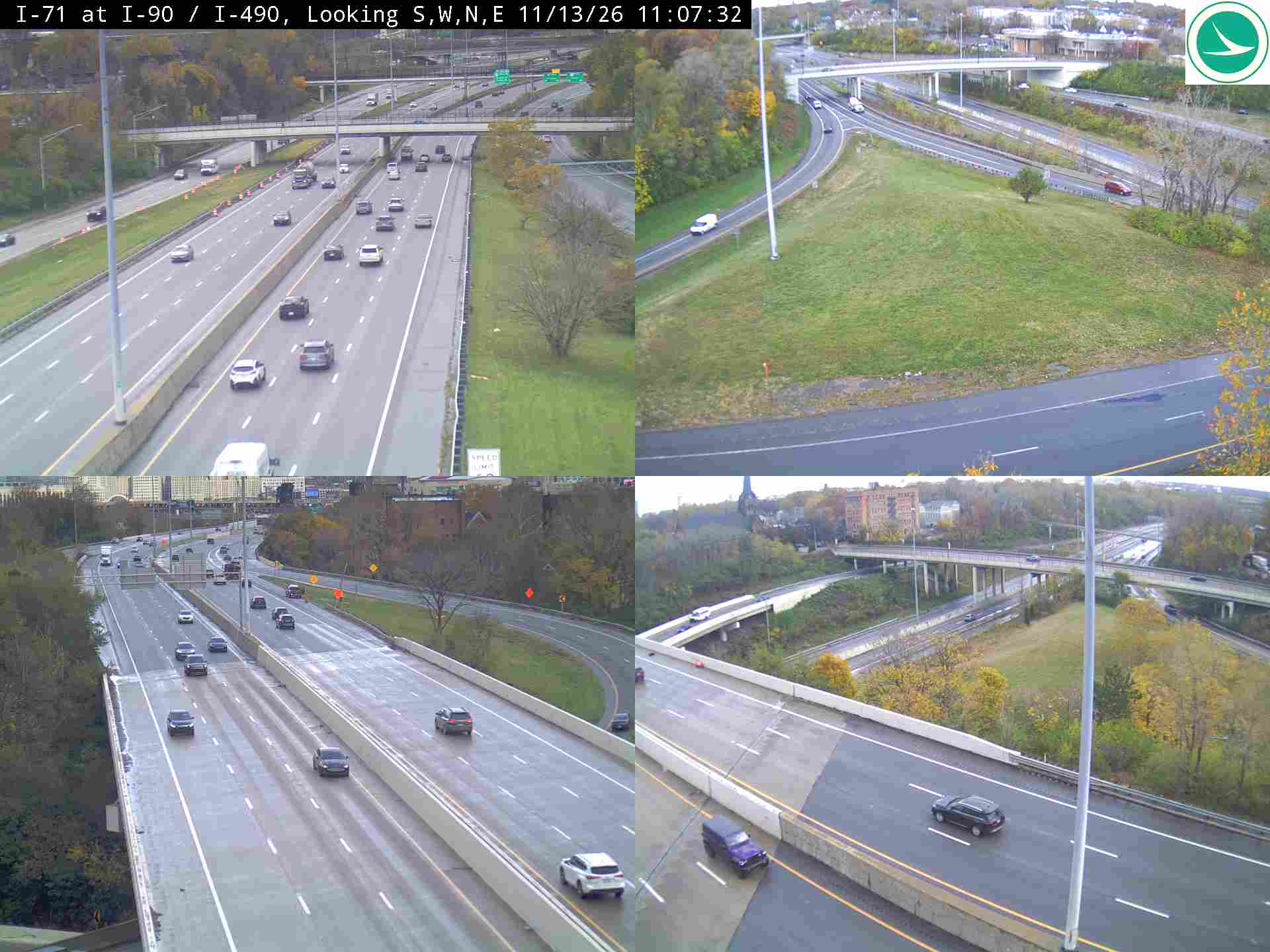
I-71 at I-90 / I-490
OH ·
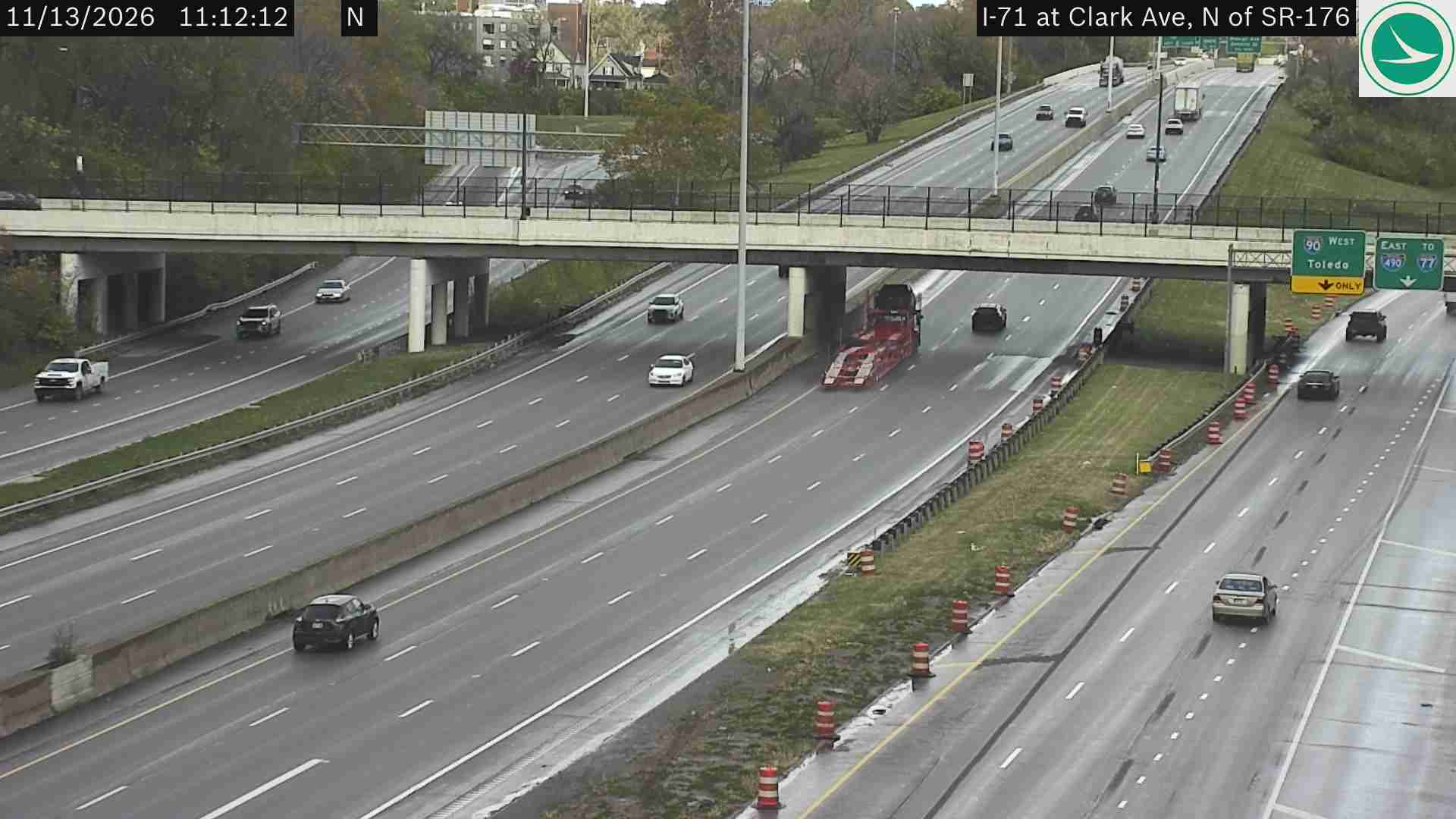
I-71 at Clark Ave, N of SR-176
OH ·
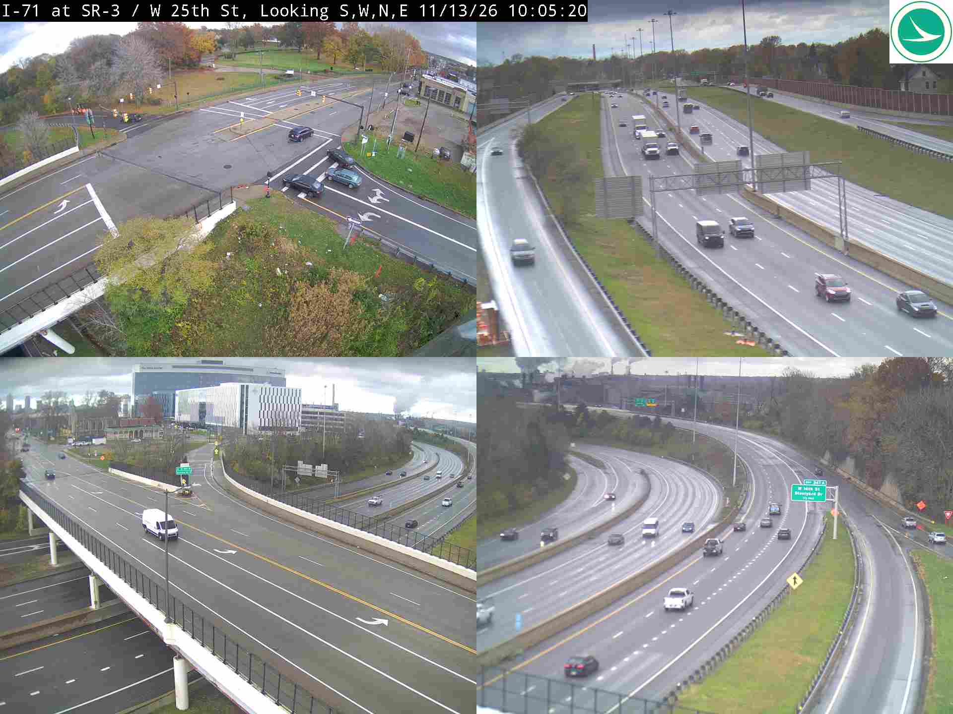
I-71 at SR-3 / W 25th St
OH ·
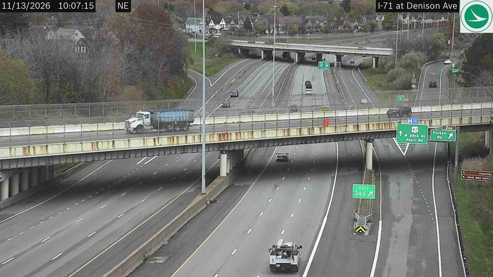
I-71 at Denison Ave
OH ·
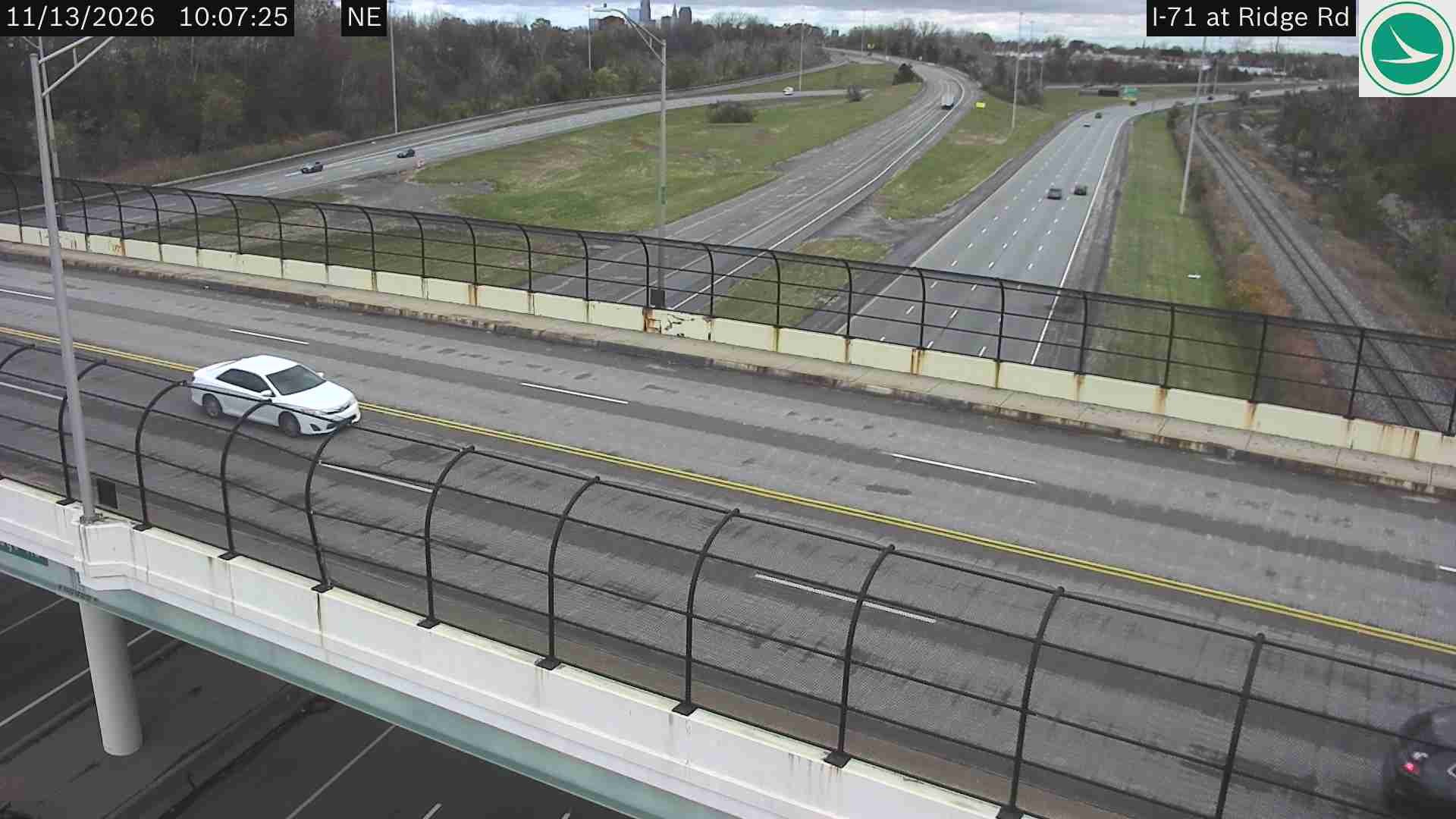
I-71 at Ridge Rd
OH ·
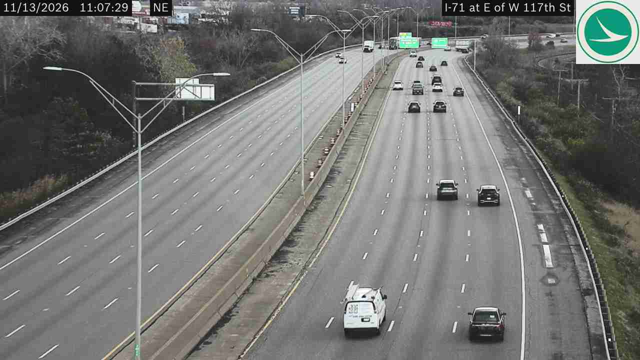
I-71 at E of W 117th St
OH ·
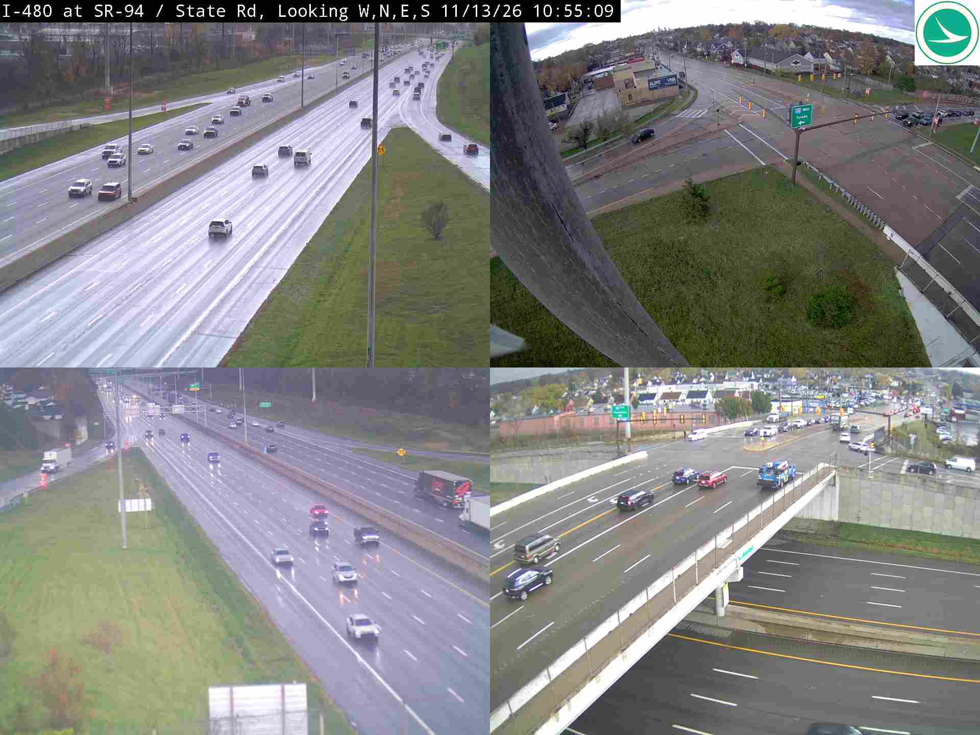
I-480 at SR-94 / State Rd
OH ·
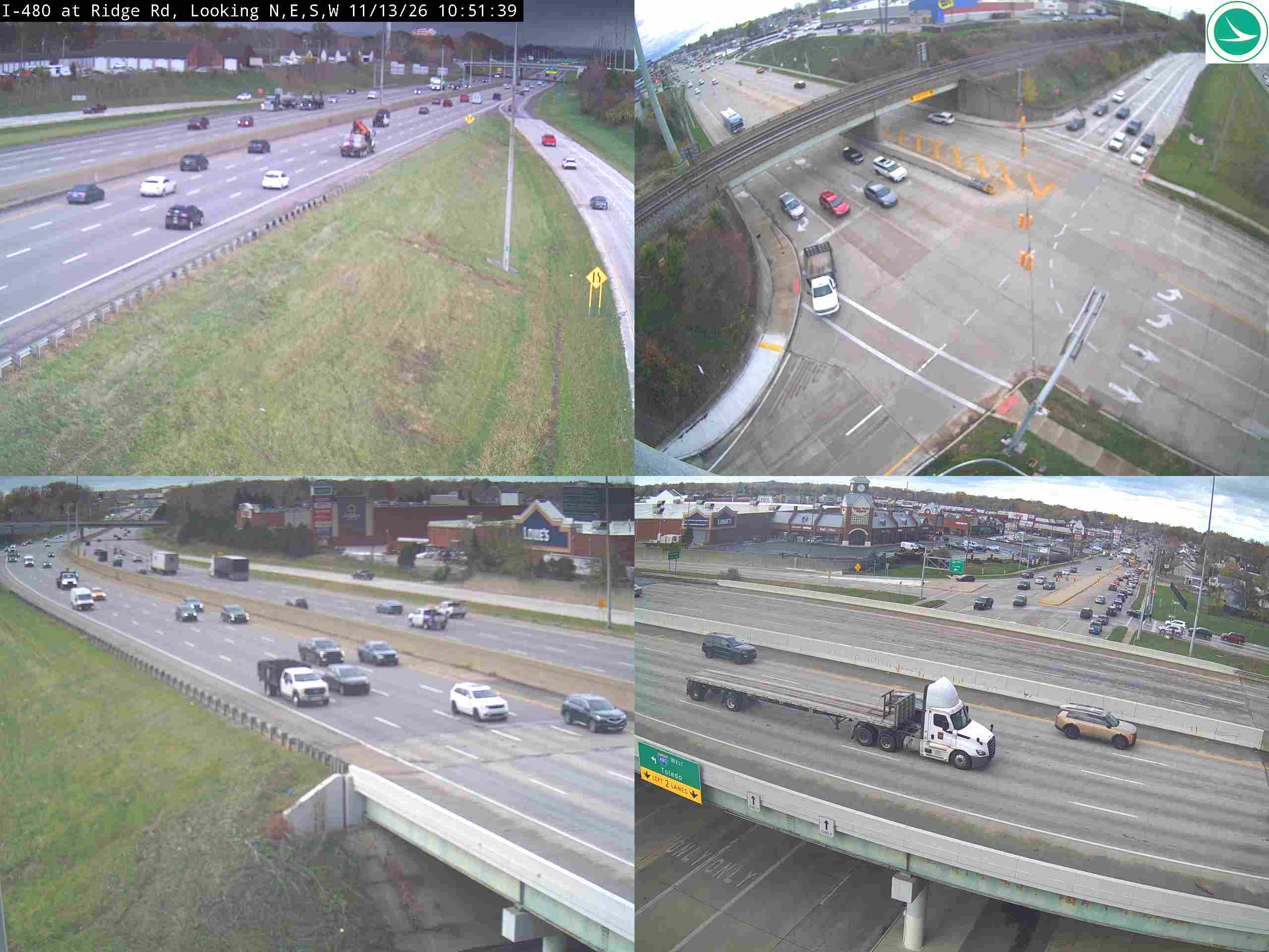
I-480 at Ridge Rd
OH ·
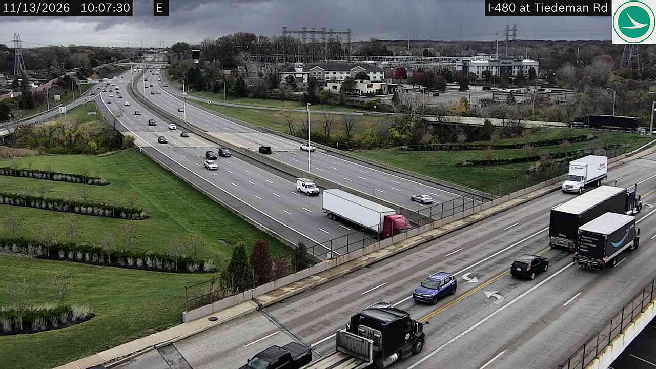
I-480 at Tiedeman Rd
OH ·
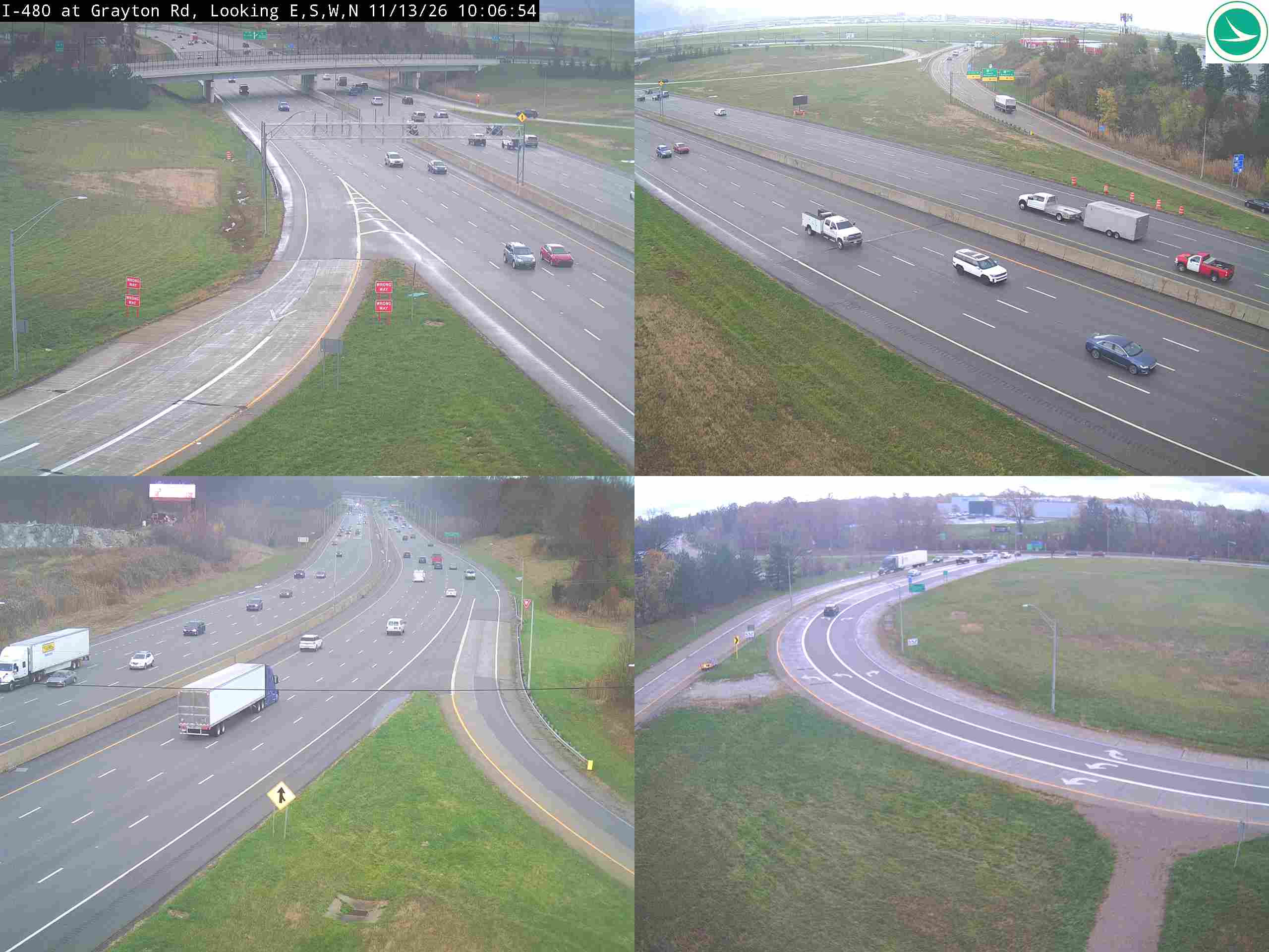
I-480 at Grayton Rd
OH ·
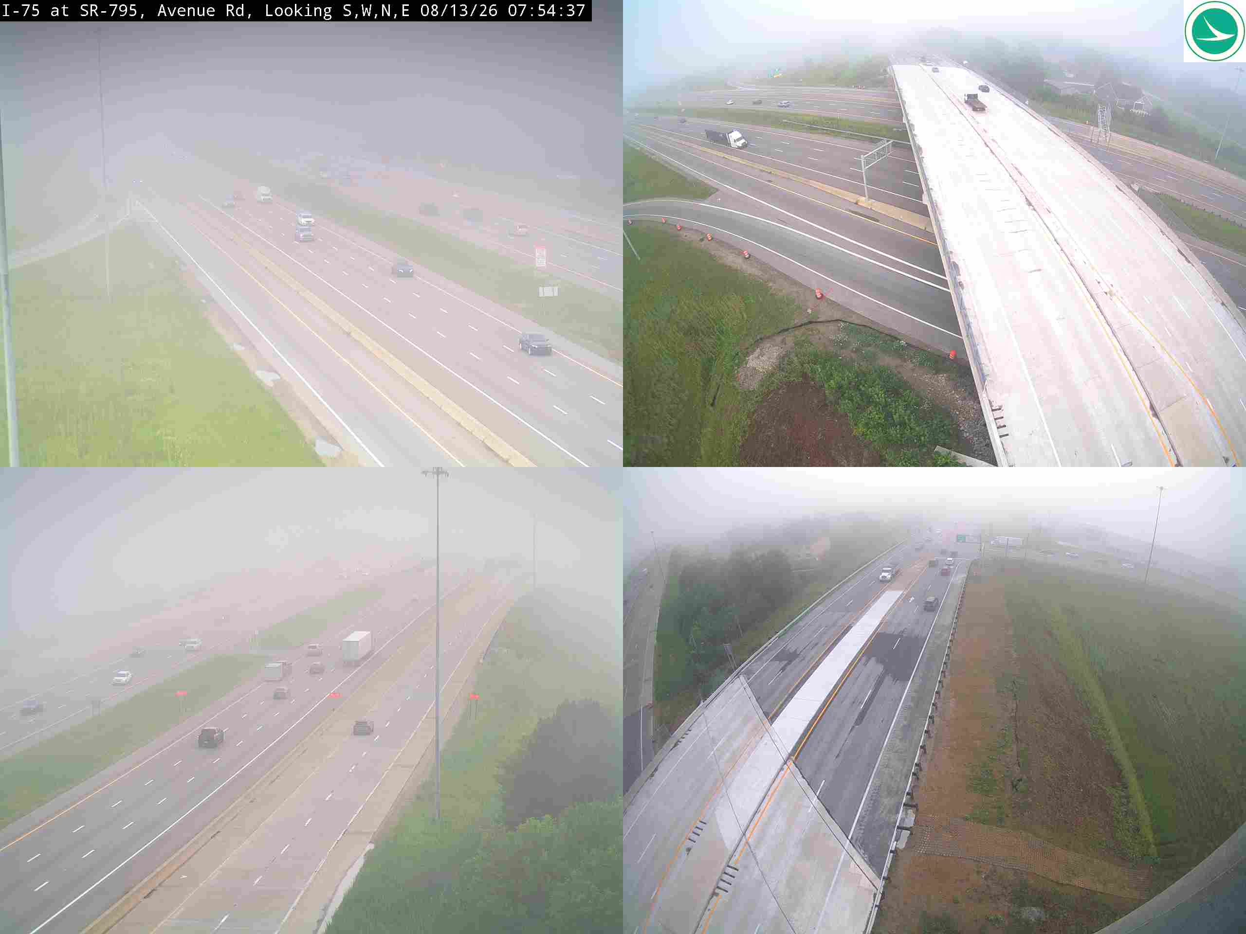
I-75 at SR-795, Avenue Rd
OH ·
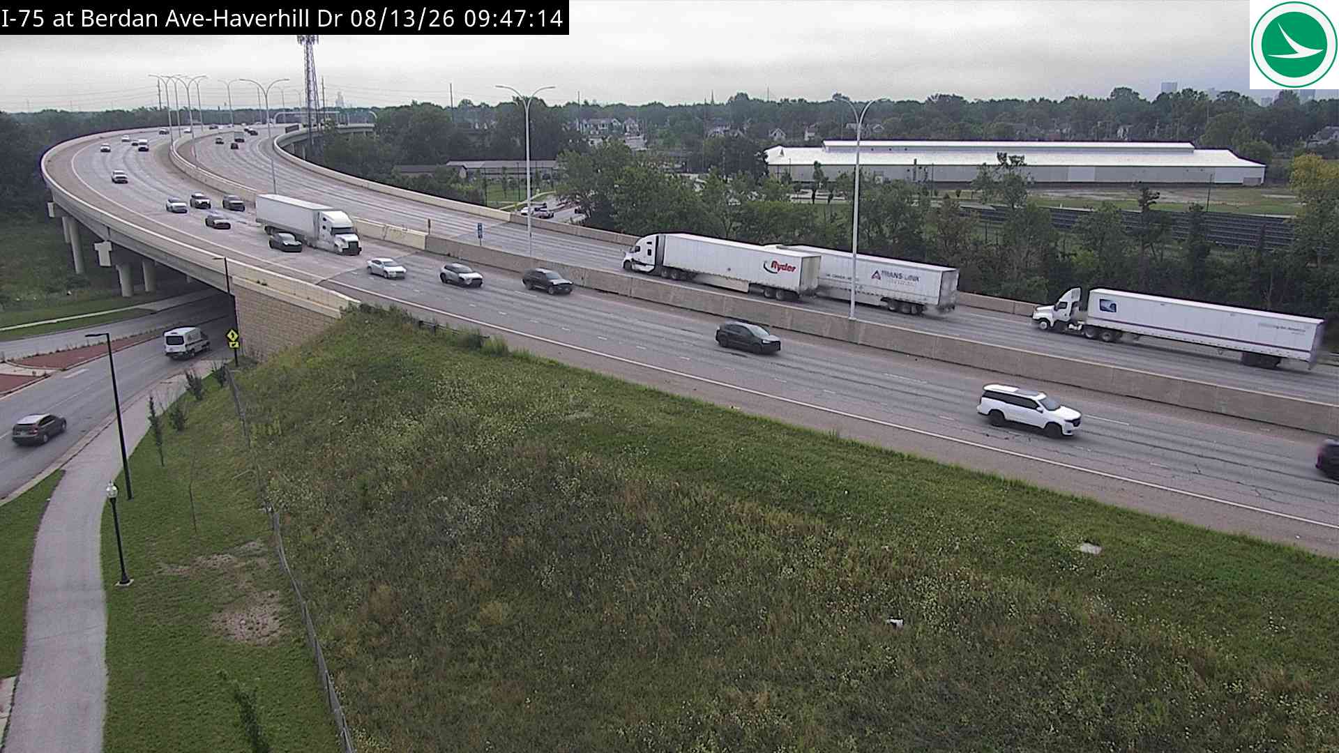
I-75 at Berdan Ave-Haverhill Dr
OH ·
Live traffic on this route
Cameras, crashes and closures right now on the highways this drive uses.
Rest Stops Along Your Route
22 stops available
Swipe to see moreShowing 1-2 of 22

Get Weather Alerts for This Route
We'll notify you when conditions change before your trip. Never drive into a surprise storm again.
⚡ Recent Weather Events on This Route
Premium users received alerts for these conditions:
- 🌧️Nov 20: Rain advisory for afternoon departures
- ❄️Nov 18: Snow expected at higher elevations - consider earlier departure
- 🌫️Nov 15: Dense fog warning for morning travel
Don't miss the next alert →
The 105-mile half-day drive from Cleveland to Sylvania stays within OH and takes about 2h 6m without stops. We track 12 live traffic cameras, 22 rest areas, 1 reported incident and 1 active weather alert along this corridor so you can plan around them. A trip this short usually fits in a single morning or afternoon — check the live conditions just before you head out.
7-Day Driving Outlook
Today
Nov 22
69° / 46°
16% precip
Tomorrow
Nov 23
53° / 38°
62% precip
Tue
Nov 24
40° / 37°
10% precip
Wed
Nov 25
49° / 35°
3% precip
Thu
Nov 26
45° / 41°
79% precip
Fri
Nov 27
46° / 41°
79% precip
Sat
Nov 28
49° / 38°
31% precip
🗓️ Weekend Outlook
Saturday
Good to Go🌧️ Light drizzle at origin, ☁️ Overcast at destination
Sunday
Good to Go☁️ Overcast at origin, 🌧️ Slight rain at destination
Plan This Route
Get hour-by-hour weather forecasts, real-time traffic, and find the optimal departure time.
🚗 Live traffic included
See if current slowdowns affect your drive time
Free • No sign-up required
Current Conditions
Cleveland, OH
67°F
Wind: 8 mph
Sylvania, OH
62°F
Wind: 8 mph
Weather data updated in real-time
Driving from Cleveland, OH to Sylvania, OH
The 105-mile drive from Cleveland, Ohio to Sylvania, Ohio takes approximately 2h 6m under normal conditions. Weather along this route can vary significantly, especially across open plains where severe weather and high winds can develop quickly. Route Outlook helps you find the safest time to travel by showing you weather conditions at every point along your route, timed to when you'll actually be there.
This moderate route stays within Ohio, connecting Cleveland and Sylvania. A drive of 105 miles means you'll pass through multiple weather zones. Conditions at your starting point may bear little resemblance to what you'll encounter halfway through the trip.
Common Weather Hazards on This Route
- Dense fog, especially during early morning hours
Seasonal Driving Considerations
The Midwest corridor of this route is susceptible to rapid weather changes. Severe thunderstorms and tornadoes are a real threat from April through June, while winter brings heavy lake-effect snow, ice storms, and dangerously low wind chill. Flat terrain means high crosswinds can affect vehicle stability year-round, especially for taller vehicles. Spring flooding can also close highway underpasses and low-lying road segments.
Best Time to Drive Cleveland to Sylvania
For shorter trips like this 105-mile drive, morning departures typically offer the best conditions with lighter traffic and better visibility. Avoid rush hour periods (7-9 AM and 4-7 PM) if possible.
Driving Strategy
At 105 miles, the Cleveland to Sylvania drive is short enough to complete in a single stretch. Still, check conditions along the route before you leave — a quick glance at live traffic cameras can confirm road visibility and surface conditions. If bad weather is forecasted for a narrow window, adjusting your departure by even an hour can make a significant difference in safety.
Pro Tip
Use Route Outlook's departure optimizer to find the best time to leave. Our 4D trajectory engine considers weather at each point along your route at the exact time you'll be there — not just at your destination. It also integrates live data from traffic cameras, DOT 511 feeds, and road weather sensors.
Frequently Asked Questions
How long is the drive from Cleveland to Sylvania?
The drive is approximately 105 miles and takes about 2h 6m under normal traffic and weather conditions. Severe weather can add significant time to your trip.
What's the best day to drive this route?
Based on current forecasts, Wednesday, Nov 25 looks ideal. Low chance of precipitation with manageable conditions
Is it safe to drive from Cleveland to Sylvania today?
Current conditions show medium risk along this route. Conditions look favorable for travel. Always stay alert and adjust speed for changing conditions.
Are there rest areas on the Cleveland to Sylvania route?
Yes, there are 22 rest areas along this route. Facilities include restrooms, parking, and in some cases picnic areas and vending machines. Rest stops are spaced throughout the drive, so you'll never be too far from a break.
Can I see live traffic cameras on this route?
Yes, Route Outlook shows 12 live traffic cameras along this route, sourced from state DOT feeds. You can check road visibility, traffic flow, and pavement conditions in real time before and during your drive.
What highways does this route use?
This route primarily uses I-71 South, I-480 West, I-75 North. Conditions can vary between highway segments, so check live camera feeds and road condition reports for each stretch before departing.
Are there any road closures on this route right now?
There is currently 1 active incident along this route that may affect your drive. Check the incident details above for specific locations and expected durations.
Related Driving Guides
10 Essential Winter Driving Tips for Long Road Trips
Planning a winter road trip? Here are the essential safety tips to help you navigate snow, ice, and cold weather conditions.
🧊Black Ice: The Invisible Killer on Winter Roads
Black ice forms when rain or melting snow refreezes on cold road surfaces. Here's how to spot the conditions that create it.
🛡️Road Safety Features: Real-Time Conditions for Your Route
Real-time traffic incidents from 12 states, highway message signs, road conditions, and 25,000+ traffic cameras--integrated into your route planning.
Explore More Routes
More routes from Cleveland
More routes to Sylvania
Similar-distance drives
More routes starting in OH
Don't Drive Blind Into Weather
Route Outlook shows you conditions at every point along your route—at the exact time you'll be there.
Open Planner