
Des Moines, IOWA → Detroit, MI
545 mi · 10h 53m (driving)
Current Risk
Low Risk
Clear conditions along your route
Get an email if snow, ice or storms hit this route before you leave.
Free. One email to confirm, then only when conditions change. Unsubscribe in one click.
Des Moines
34°
Cedar County
44°
Kane County
45°
Prairie Ronde Township
47°
Detroit
41°
Trip Briefing
4 segments · 545 mi · 10h 54m
Weather
☀️ Clear sky
44°F, wind 2 mph
Rest Stops
24
Restrooms, Truck svc, water
Clear driving conditions expected
Rest stops in this segment:
- ● QuikTrip
- ● Casey's Truck Stop 🚻
- ● Flying J Travel Center
Normal Traffic
50 construction zones along route — no other incidents
50 Construction Zones on Route
local road: Road work until Nov 25
I-80: Road work until Nov 29
I-80: Road work until Nov 30
local road: Road work until Nov 30
local road: Road work until Nov 25
IL-82: Road work until Nov 29
+ 44 more zones along the route — see map for full list
Traffic Cameras
See recent road conditions along your route
Images are snapshots updated periodically by state DOTs. Timestamps shown in images indicate when each photo was captured.
Choose your route:
Selected Route
Via I-235 East → I-80 → I-280 East → I-94 East → I-96
Cameras shown are along this computed route
Need a custom route?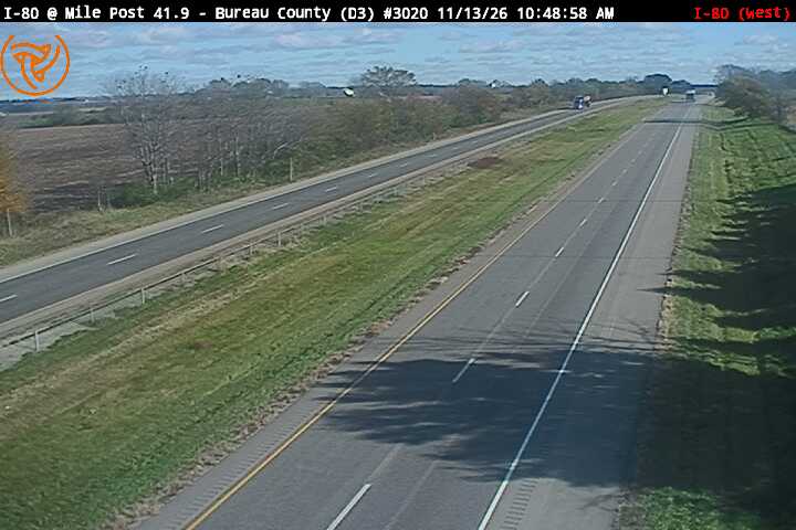
I-80 EB: I-80 EB at Mile Post 41.9 (looking west)
IL · EB
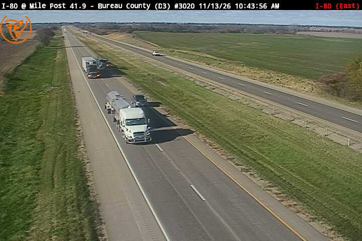
I-80 EB: I-80 EB at Mile Post 41.9 (looking east)
IL · EB
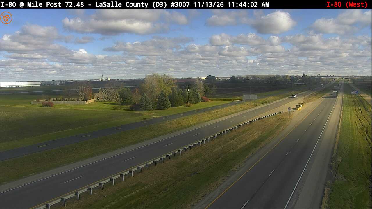
I-80 EB: I-80 EB at Mile Post 72.48 (looking west)
IL · EB
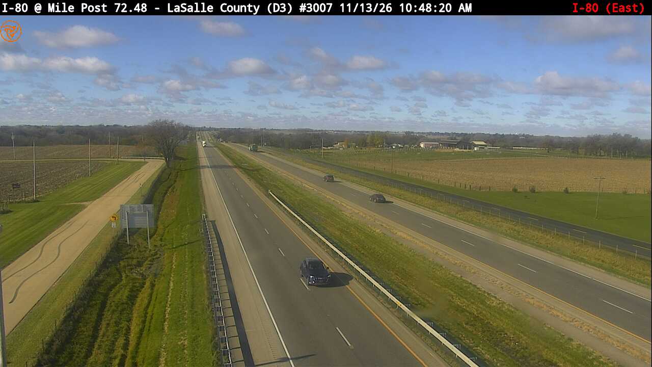
I-80 EB: I-80 EB at Mile Post 72.48 (looking east)
IL · EB
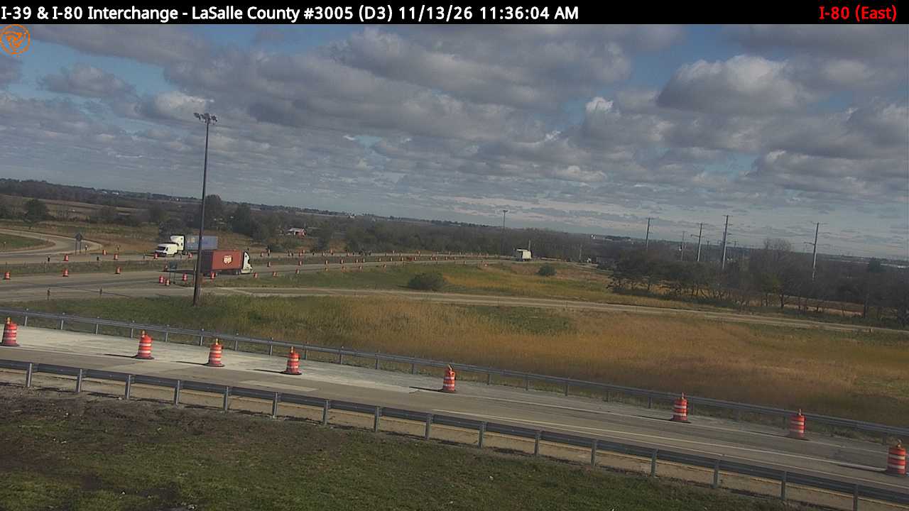
I-80: I-39 at I-80 Interchange (looking east)
IL · EB
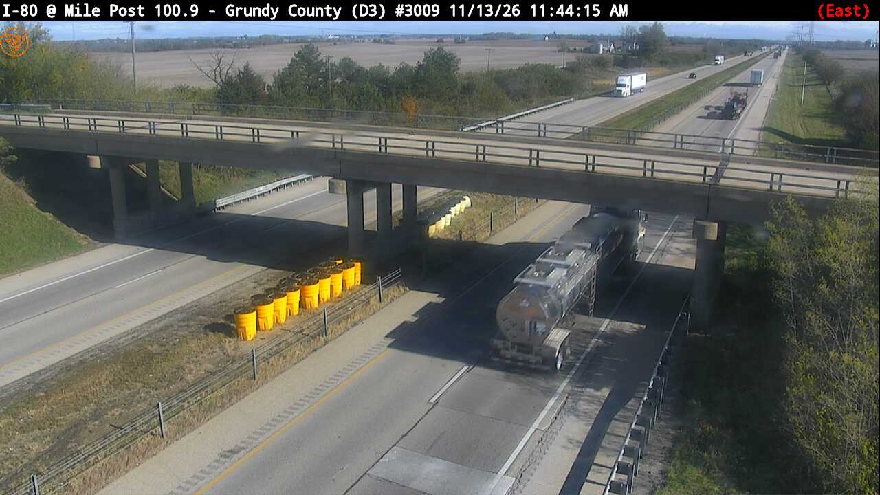
I-80 EB: I-80 EB at Mile Post 100.9 (looking east)
IL · EB
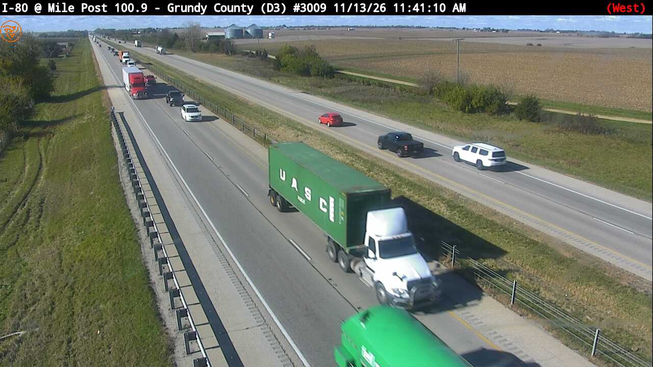
I-80 EB: I-80 EB at Mile Post 100.9 (looking west)
IL · EB
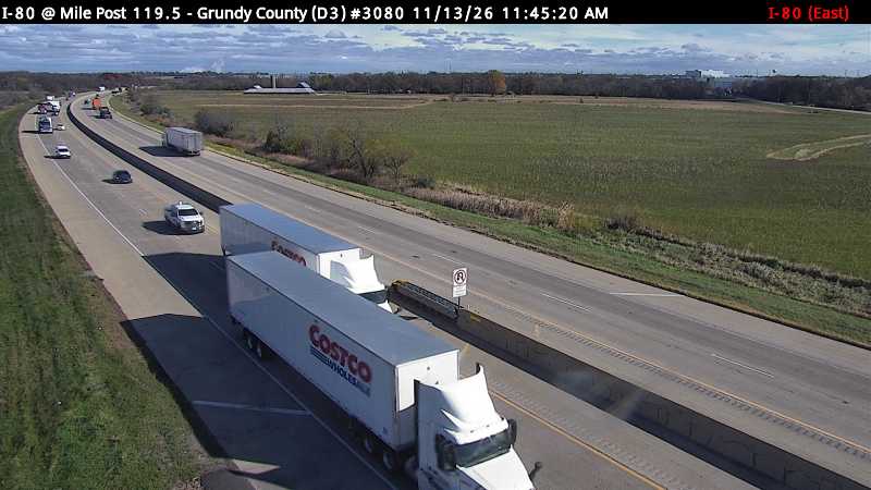
I-80: I-80 at Mile Post 119.5 (looking east)
IL · EB
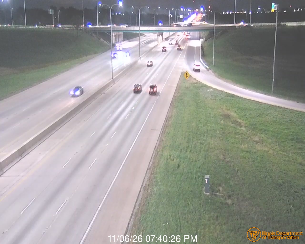
I-80 EB: w/o LaGrange Rd. HD
IL · EB
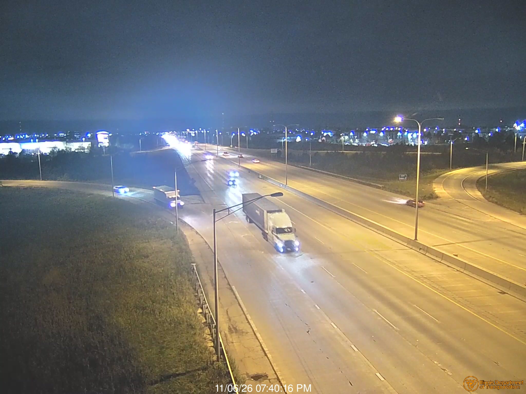
I-80 EB: Harlem Ave. HD
IL · EB
I-80-94/9.9 SR 53/BROADWAY
Gary, IN ·
I-294 EB: I-80/94 @ Paxton Ave
IL · EB
Live traffic on this route
Cameras, crashes and closures right now on the highways this drive uses.
Rest Stops Along Your Route
106 stops available
Swipe to see moreShowing 1-2 of 106

Sponsor
Get Weather Alerts for This Route
We'll notify you when conditions change before your trip. Never drive into a surprise storm again.
⚡ Recent Weather Events on This Route
Premium users received alerts for these conditions:
- 🌧️Nov 13: Rain advisory for afternoon departures
- ❄️Nov 11: Snow expected at higher elevations - consider earlier departure
- 🌫️Nov 8: Dense fog warning for morning travel
Don't miss the next alert →
Driving from Des Moines, IOWA to Detroit, MI covers 545 miles in roughly 10h 53m of drive time, crossing state lines. We track 12 live traffic cameras and 106 rest areas along this corridor so you can plan around them. On a drive this length, weather can change dramatically between stops. Use the segment-by-segment forecast below to time your route.
7-Day Driving Outlook
Today
Nov 15
48° / 34°
No precip
Tomorrow
Nov 16
53° / 32°
No precip
Tue
Nov 17
56° / 38°
No precip
Wed
Nov 18
55° / 45°
No precip
Thu
Nov 19
56° / 53°
No precip
Fri
Nov 20
55° / 40°
No precip
Sat
Nov 21
60° / 54°
No precip
🗓️ Weekend Outlook
Saturday
Good to Go🌦️ Moderate rain showers at origin, ⛅ Partly cloudy at destination
Sunday
Good to Go🌤️ Mainly clear at origin, ☁️ Overcast at destination
Plan This Route
Get hour-by-hour weather forecasts, real-time traffic, and find the optimal departure time.
🚗 Live traffic included
See if current slowdowns affect your drive time
Free • No sign-up required
Current Conditions
Des Moines, IOWA
34°F
Wind: 2 mph
Detroit, MI
41°F
Wind: 11 mph
Weather data updated in real-time
Driving from Des Moines, IOWA to Detroit, MI
The 545-mile drive from Des Moines, IOWA to Detroit, Michigan takes approximately 10h 53m under normal conditions. Weather along this route can vary significantly, especially across open plains where severe weather and high winds can develop quickly. Route Outlook helps you find the safest time to travel by showing you weather conditions at every point along your route, timed to when you'll actually be there.
This long-distance route crosses state lines from IOWA into Michigan, connecting Des Moines and Detroit. Covering 545 miles, this is a substantial drive that will take you through diverse terrain and weather patterns. Planning ahead with real-time conditions along the entire route — not just at your destination — is essential for a safe trip.
Common Weather Hazards on This Route
- Winter storms and heavy snowfall (November through April)
- Black ice on mountain passes and bridges
Seasonal Driving Considerations
The Midwest corridor of this route is susceptible to rapid weather changes. Severe thunderstorms and tornadoes are a real threat from April through June, while winter brings heavy lake-effect snow, ice storms, and dangerously low wind chill. Flat terrain means high crosswinds can affect vehicle stability year-round, especially for taller vehicles. Spring flooding can also close highway underpasses and low-lying road segments.
Best Time to Drive Des Moines to Detroit
For long drives like this 545-mile journey, planning is essential. Consider breaking the trip into segments if weather looks challenging. The best approach is to check conditions for multiple departure times using Route Outlook's optimizer, which considers weather at each point when you'll actually be there.
Driving Strategy
Covering 545 miles from Des Moines to Detroit is a full-day or multi-day drive that requires advance planning. Break the route into manageable segments, planning fuel and rest stops every 2-3 hours. Weather that looks fine at departure may deteriorate significantly at the midpoint. Consider booking overnight accommodation if the forecast shows deteriorating conditions in the latter half. Route Outlook's segment-level weather data helps you identify exactly where and when conditions will change.
Pro Tip
Use Route Outlook's departure optimizer to find the best time to leave. Our 4D trajectory engine considers weather at each point along your route at the exact time you'll be there — not just at your destination. It also integrates live data from traffic cameras, DOT 511 feeds, and road weather sensors.
Frequently Asked Questions
How long is the drive from Des Moines to Detroit?
The drive is approximately 545 miles and takes about 10h 53m under normal traffic and weather conditions. Severe weather can add significant time to your trip.
What's the best day to drive this route?
Based on current forecasts, Tuesday, Nov 17 looks ideal. Clear conditions expected along the entire route
Is it safe to drive from Des Moines to Detroit today?
Current conditions show low risk along this route. Conditions look favorable for travel. Always stay alert and adjust speed for changing conditions.
Are there rest areas on the Des Moines to Detroit route?
Yes, there are 106 rest areas along this route. Facilities include restrooms, parking, and in some cases picnic areas and vending machines. Rest stops are spaced throughout the drive, so you'll never be too far from a break.
Can I see live traffic cameras on this route?
Yes, Route Outlook shows 12 live traffic cameras along this route, sourced from state DOT feeds. You can check road visibility, traffic flow, and pavement conditions in real time before and during your drive.
What highways does this route use?
This route primarily uses I-80, I-94 East. Conditions can vary between highway segments, so check live camera feeds and road condition reports for each stretch before departing.
Are there any road closures on this route right now?
No significant incidents or road closures are currently reported along this route. Conditions can change quickly — this page updates automatically with the latest data from state DOT 511 systems.
Related Driving Guides
10 Essential Winter Driving Tips for Long Road Trips
Planning a winter road trip? Here are the essential safety tips to help you navigate snow, ice, and cold weather conditions.
🧊Black Ice: The Invisible Killer on Winter Roads
Black ice forms when rain or melting snow refreezes on cold road surfaces. Here's how to spot the conditions that create it.
🛡️Road Safety Features: Real-Time Conditions for Your Route
Real-time traffic incidents from 12 states, highway message signs, road conditions, and 25,000+ traffic cameras--integrated into your route planning.
Road Trip Guides Through This Area
Explore More Routes
More routes from Des Moines
More routes to Detroit
Similar-distance drives
Don't Drive Blind Into Weather
Route Outlook shows you conditions at every point along your route—at the exact time you'll be there.
Open Planner