
Fresno, CA → Fort Worth, TX
1691 mi · 28h 21m (driving)
Current Risk
Medium Risk
Heat Advisory in effect along your route
Fresno
91°
Mohave County
76°
Cibola County
62°
Cochran County
78°
Fort Worth
93°
Trip Briefing
4 segments · 1691 mi · 28h 21m
Weather
☀️ Clear sky
76°F, wind 3 mph
Rest Stops
25
Truck svc, Restrooms, water
Cameras
6 live
Clear driving conditions expected
Rest stops in this segment:
- ● Rest Area
- ● Rest Area
- ● C. H. Warlow Rest Area 🚻 🥤 🪑
Delays Expected
1 major incident reported · 7 construction zones on route
7 Construction Zones on Route
Construction on BI0040D
Construction on SL0335
Construction on IH0040
Construction on IH0040
Construction on FM3257
Construction on US0287
+ 1 more zone along the route — see map for full list
Traffic Cameras
See recent road conditions along your route
Images are snapshots updated periodically by state DOTs. Timestamps shown in images indicate when each photo was captured.
Choose your route:
Selected Route
Via I-15 North → I-40 East → US-287 → US-82 → I-35W TEXpress
Cameras shown are along this computed route
Need a custom route?
KER-58-W/O MLK JR BLVD
Bakersfield, CA · EB
KER-58-AT FAIRFAX RD
Bakersfield, CA · EB
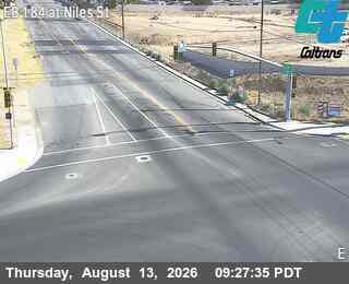
KER-184-AT NILES ST
Bakersfield, CA
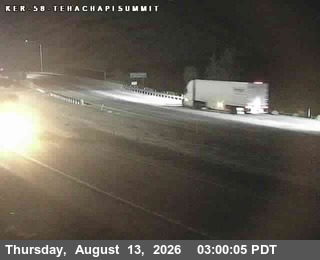
SR-58 : Tehachapi Summit
Tehachapi, CA · EB
I-40 : (383) At Desert Oasis Rest Area
CA · EB
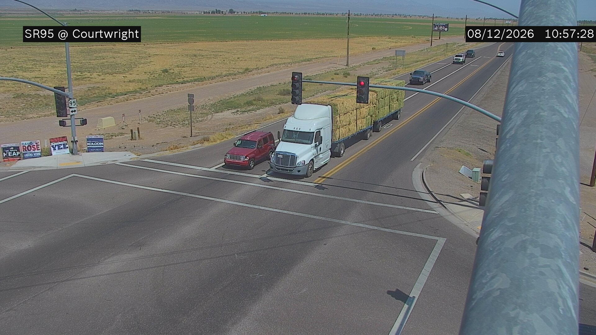
SR-95 - SR-95 @Courtwright
AZ
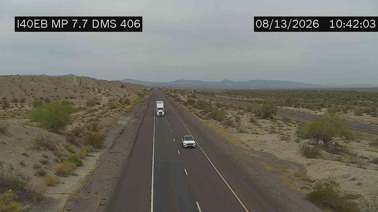
I-40 - I-40 @Topock
AZ

I-40 - I-40 @Kingman
AZ
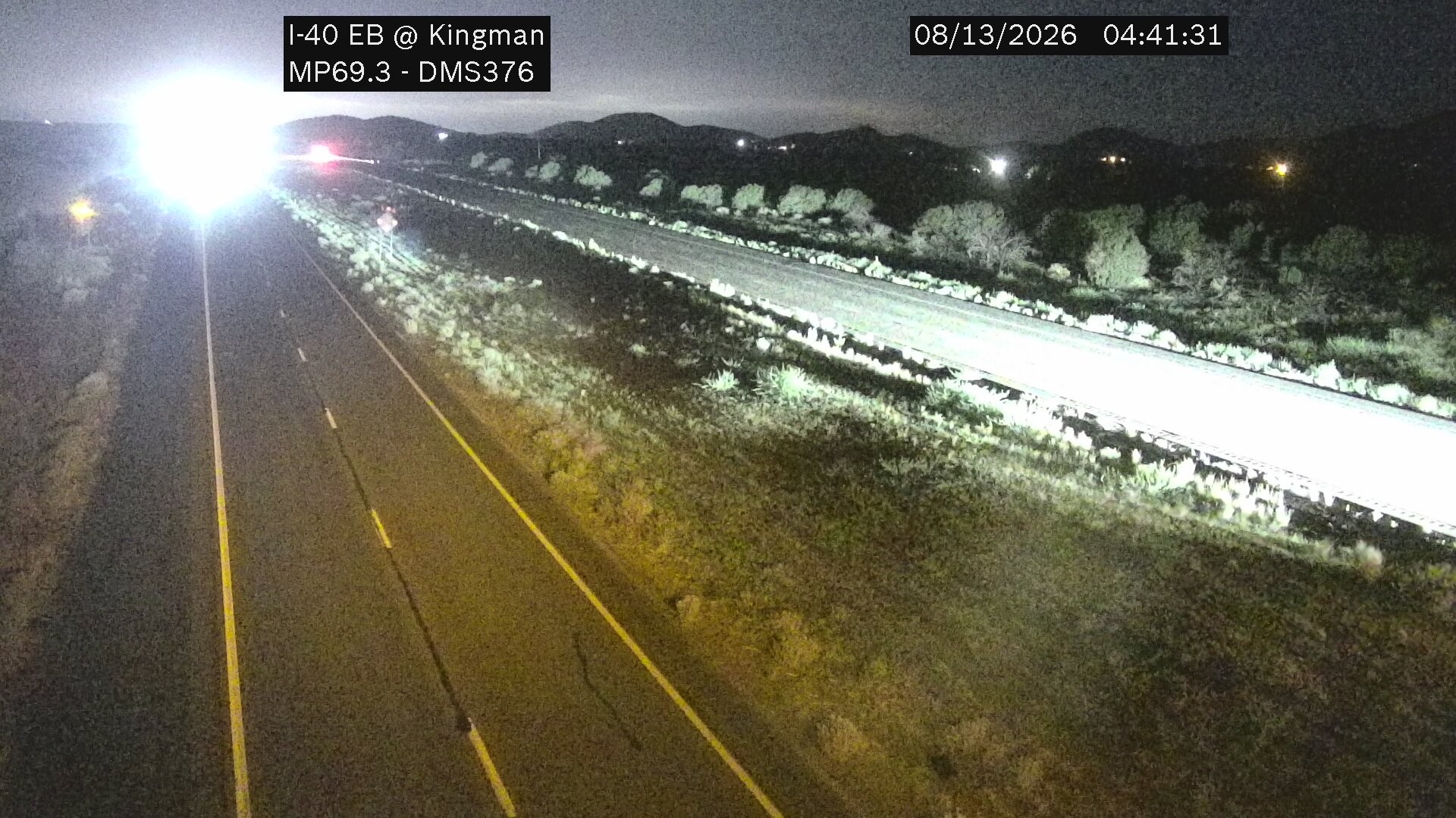
I-40 - I-40 @Kingman
AZ
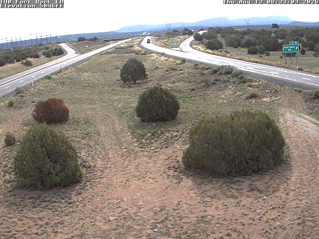
I-40 - I-40 @ 91.38
AZ
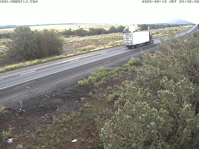
I-40 - I-40 @ 132.25
AZ
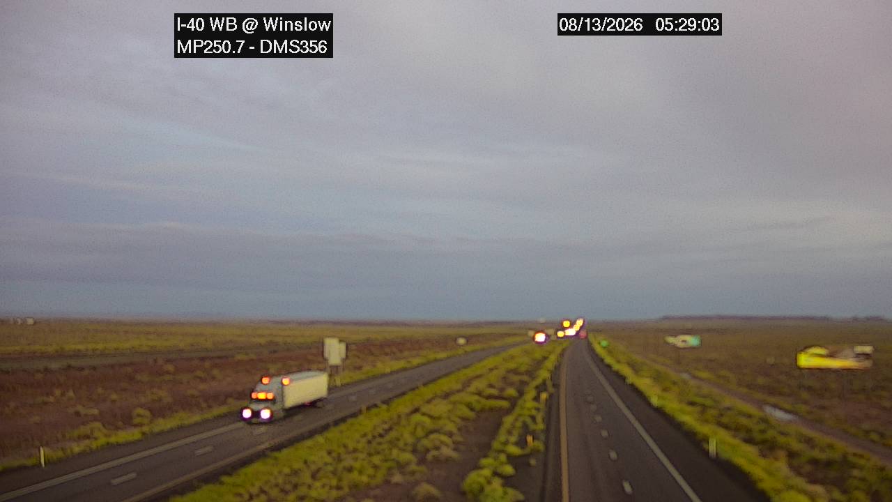
I-40 - I-40 @Winslow
AZ
Rest Stops Along Your Route
113 stops available
Swipe to see moreShowing 1-2 of 113

Get Weather Alerts for This Route
We'll notify you when conditions change before your trip. Never drive into a surprise storm again.
⚡ Recent Weather Events on This Route
Premium users received alerts for these conditions:
- 🌧️Aug 14: Rain advisory for afternoon departures
- ❄️Aug 12: Snow expected at higher elevations - consider earlier departure
- 🌫️Aug 9: Dense fog warning for morning travel
Don't miss the next alert →
Driving from Fresno, CA to Fort Worth, TX covers 1691 miles in roughly 28h 21m of drive time, crossing state lines. We track 12 live traffic cameras, 113 rest areas, 1 reported incident and 1 active weather alert along this corridor so you can plan around them. On a drive this length, weather can change dramatically between stops. Use the segment-by-segment forecast below to time your route.
7-Day Driving Outlook
Sat
Aug 15
93° / 63°
No precip
Today
Aug 16
98° / 64°
1% precip
Tomorrow
Aug 17
102° / 69°
1% precip
Tue
Aug 18
103° / 75°
No precip
Wed
Aug 19
105° / 78°
No precip
Thu
Aug 20
107° / 79°
No precip
Fri
Aug 21
107° / 78°
1% precip
🗓️ Weekend Outlook
Saturday
Good to Go☀️ Clear sky at origin, 🌤️ Mainly clear at destination
Sunday
Good to Go⛅ Partly cloudy at origin, ☀️ Clear sky at destination
Plan This Route
Get hour-by-hour weather forecasts, real-time traffic, and find the optimal departure time.
🚗 Live traffic included
See if current slowdowns affect your drive time
Free • No sign-up required
Current Conditions
Fresno, CA
91°F
Wind: 8 mph
Fort Worth, TX
93°F
Wind: 8 mph
Weather data updated in real-time
Driving from Fresno, CA to Fort Worth, TX
Your journey from Fresno, California to Fort Worth, Texas stretches nearly 1,700 miles across some of America's most diverse landscapes. The route primarily follows Interstate 40 eastbound, though you'll begin by taking Highway 99 north from Fresno before merging onto I-40 near Barstow, California. From there, I-40 becomes your main artery as it carries you through Arizona, New Mexico, the Texas Panhandle, and ultimately into Oklahoma before you head south on I-35 toward Fort Worth. This well-established corridor is heavily trafficked in sections but generally maintains good road conditions year-round, making it a reliable choice for long-distance travelers.
As you drive eastward, you'll witness dramatic shifts in terrain and elevation that showcase the American Southwest's raw beauty. Leaving California's Central Valley, you'll climb through the Mojave Desert and then descend into Arizona's high desert country near Flagstaff, where elevations exceed 7,000 feet. The landscape gradually transitions into New Mexico's high plains and the distinctive mesas and buttes of the Texas Panhandle around Amarillo. You'll pass through or near several notable cities that break up the drive: Barstow, Flagstaff, Albuquerque, Amarillo, and Oklahoma City all serve as logical stopping points with full amenities.
The practical driving experience varies significantly throughout this route. The California and Arizona portions involve some mountain grades and can experience heavy truck traffic, while the New Mexico and Texas sections open into long, straight stretches of relatively flat terrain that can lead to driver fatigue—plan your breaks accordingly. Urban congestion around Oklahoma City and the final approach to Fort Worth on I-35 will require your full attention, especially during rush hours. Elevation changes are most significant in Arizona and northern New Mexico, so watch your engine performance if you're towing.
Spring and fall offer the most pleasant driving conditions for this cross-country trek, with moderate temperatures and generally clear skies. Summer heat can make the desert sections grueling, while winter storms occasionally impact Arizona and New Mexico passes. Plan your 28-hour journey across two days to arrive refreshed and safe in Fort Worth.
The 1691-mile drive from Fresno, California to Fort Worth, Texas takes approximately 28h 21m under normal conditions. Weather along this route can vary significantly, especially through mountainous terrain where elevation changes can bring sudden weather shifts. Route Outlook helps you find the safest time to travel by showing you weather conditions at every point along your route, timed to when you'll actually be there.
Common Weather Hazards on This Route
- Dense fog, especially during early morning hours
- Severe thunderstorms and flash flooding (spring and summer)
- Hurricane and tropical storm impacts (June through November)
- Extreme heat and dust storms in desert regions
- Flash floods during monsoon season (July through September)
Seasonal Driving Considerations
Coastal weather on this route can shift quickly. Marine fog is common during morning hours, especially in spring and fall, reducing visibility to near zero. Hurricane season (June through November) can bring extended road closures and dangerous conditions. During fair weather, coastal routes offer scenic driving — but always verify conditions with live traffic cameras before heading out.
Best Time to Drive Fresno to Fort Worth
For long drives like this 1691-mile journey, planning is essential. Consider breaking the trip into segments if weather looks challenging. The best approach is to check conditions for multiple departure times using Route Outlook's optimizer, which considers weather at each point when you'll actually be there.
Driving Strategy
Covering 1691 miles from Fresno to Fort Worth is a full-day or multi-day drive that requires advance planning. Break the route into manageable segments, planning fuel and rest stops every 2-3 hours. Weather that looks fine at departure may deteriorate significantly at the midpoint. Consider booking overnight accommodation if the forecast shows deteriorating conditions in the latter half. Route Outlook's segment-level weather data helps you identify exactly where and when conditions will change.
Pro Tip
Use Route Outlook's departure optimizer to find the best time to leave. Our 4D trajectory engine considers weather at each point along your route at the exact time you'll be there — not just at your destination. It also integrates live data from traffic cameras, DOT 511 feeds, and road weather sensors.
Frequently Asked Questions
How long is the drive from Fresno to Fort Worth?
The drive is approximately 1691 miles and takes about 28h 21m under normal traffic and weather conditions. Severe weather can add significant time to your trip.
What's the best day to drive this route?
Based on current forecasts, Today (Aug 16) looks ideal. Clear conditions expected along the entire route
Is it safe to drive from Fresno to Fort Worth today?
Current conditions show medium risk along this route. Conditions look favorable for travel. Always stay alert and adjust speed for changing conditions.
Are there rest areas on the Fresno to Fort Worth route?
Yes, there are 113 rest areas along this route. Facilities include restrooms, parking, and in some cases picnic areas and vending machines. Rest stops are spaced throughout the drive, so you'll never be too far from a break.
Can I see live traffic cameras on this route?
Yes, Route Outlook shows 12 live traffic cameras along this route, sourced from state DOT feeds. You can check road visibility, traffic flow, and pavement conditions in real time before and during your drive.
What highways does this route use?
This route primarily uses Other. Conditions can vary between highway segments, so check live camera feeds and road condition reports for each stretch before departing.
Are there any road closures on this route right now?
There is currently 1 active incident along this route that may affect your drive. Check the incident details above for specific locations and expected durations.
Related Driving Guides
Drive Mode: Your Weather Intelligence Companion for Road Trips
Learn how Route Outlook's Drive Mode works alongside Google Maps and Waze to keep you informed about weather and road conditions while you drive.
🔗Share Your Road Trip Plans: How to Keep Family Informed and Safe
Learn how sharing your driving routes with family and friends can improve safety and provide peace of mind for everyone during your travels.
⏰Finding the Safest Time to Drive: A Data-Driven Approach
Learn how 4D trajectory analysis can help you find the optimal departure time to avoid dangerous weather and traffic.
Road Trip Guides Through This Area
Texas Hill Country Loop
Wine, BBQ, and Live Music in the Heart of Texas
California Wine Country: Napa and Sonoma
World-Class Wines in a Stunning Valley Setting
Route 66: Chicago to Santa Monica
The Mother Road — America's Most Famous Highway
Pacific Coast Highway: San Francisco to San Diego
One of America's Most Iconic Coastal Drives
Texas Hill Country Weekend: Austin to Fredericksburg
Live Music, BBQ, and Hill Country Wine — All Within 90 Minutes
Explore More Routes
More routes from Fresno
More routes to Fort Worth
Similar-distance drives
More routes starting in CA
Don't Drive Blind Into Weather
Route Outlook shows you conditions at every point along your route—at the exact time you'll be there.
Open Planner