
Myrtle Beach, SC → New York, NY
721 mi · 12h 4m (driving)
Current Risk
Medium Risk
Heat Advisory in effect along your route
Myrtle Beach
76°
Greene County
73°
York County
74°
Sussex County
75°
New York
72°
Trip Briefing
4 segments · 721 mi · 12h 5m
Weather
⛅ Partly cloudy
73°F, wind 4 mph
Rest Stops
7
Restrooms, Truck svc, WiFi
Cameras
6 live
Clear driving conditions expected
Rest stops in this segment:
- ● South Carolina Welcome Center 🚻
- ● Rest Area 🚻
- ● Rest Area
Weather May Slow Traffic
Active weather advisory — expect slower travel
Traffic Cameras
See recent road conditions along your route
Images are snapshots updated periodically by state DOTs. Timestamps shown in images indicate when each photo was captured.
Choose your route:
Selected Route
Via US-17 Business → S-26-1315 (Robert M. Grissom Parkway) → ... → NJ Turnpike → I-78 East (New Jersey Turnpike Newark Bay Extension)
Cameras shown are along this computed route
Need a custom route?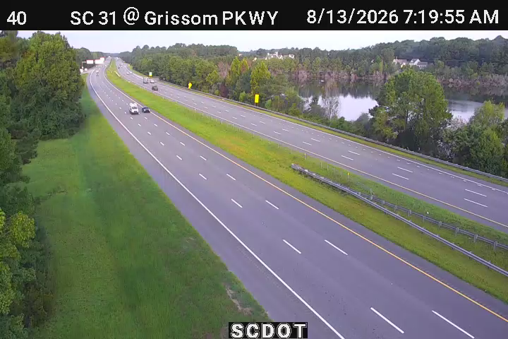
50040
Myrtle Beach, SC ·
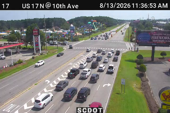
50017
Myrtle Beach, SC ·
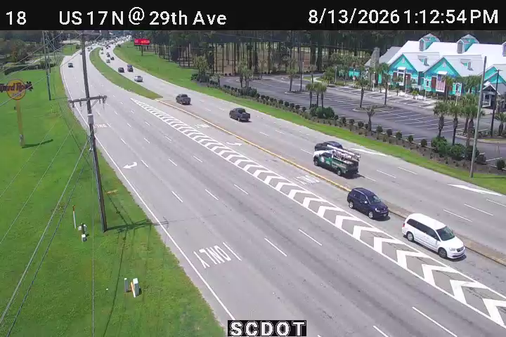
50018
Myrtle Beach, SC ·
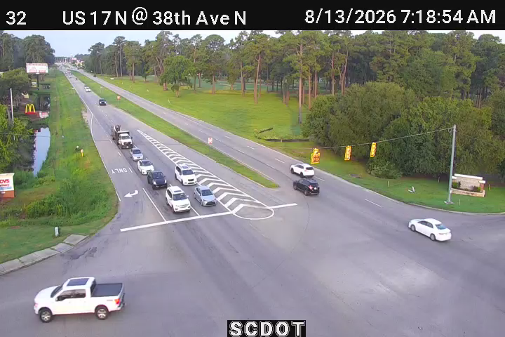
50032
Myrtle Beach, SC ·
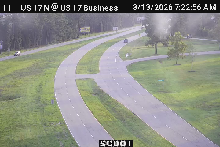
50011
Myrtle Beach, SC ·
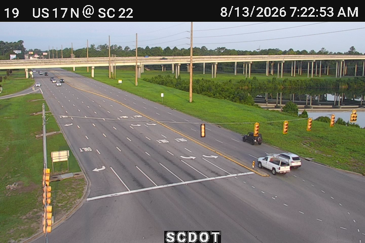
50019
Myrtle Beach, SC ·

502004
Annapolis, MD
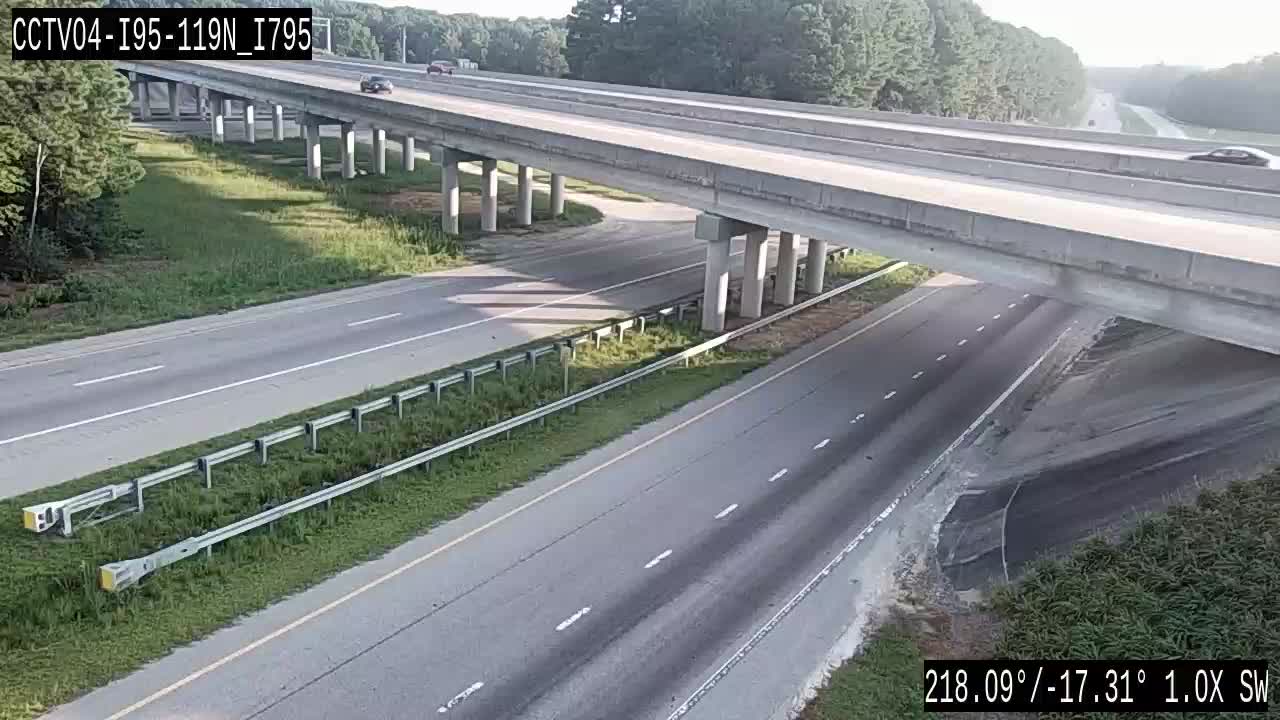
CCTV04-I95-119N_I795
Wilson, NC ·
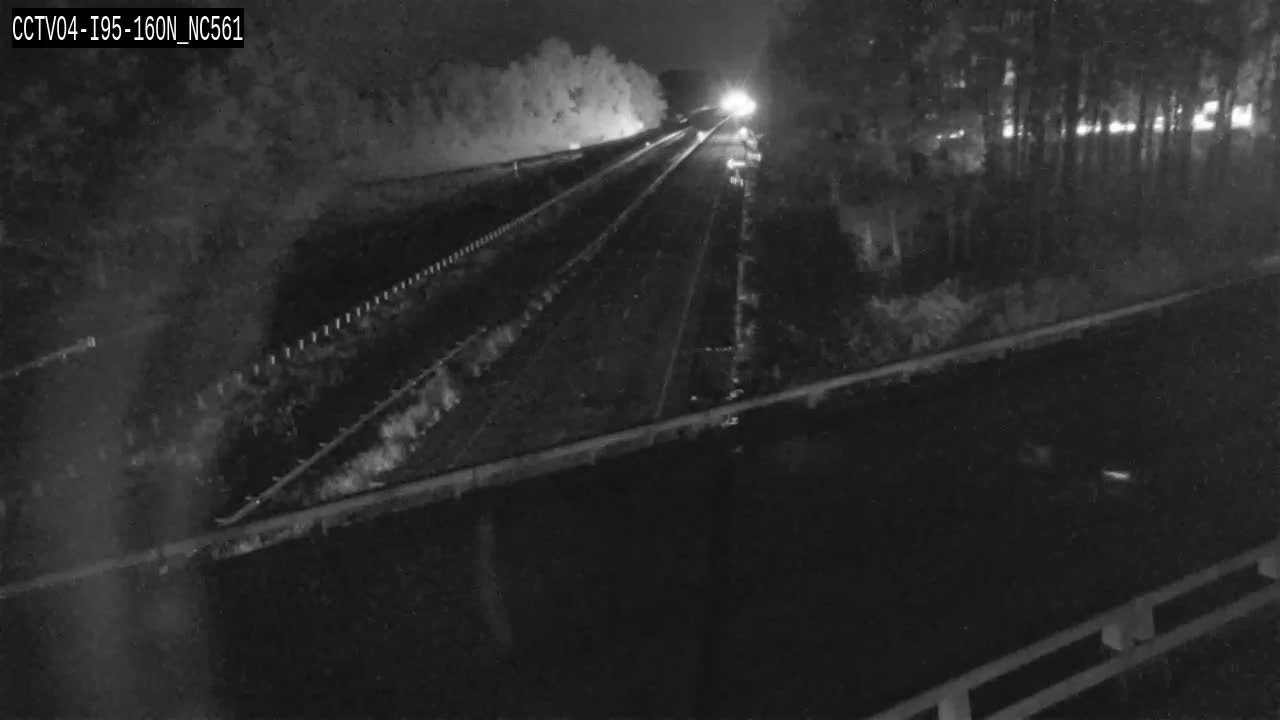
CCTV04-I95-160N_NC561
Halifax, NC ·
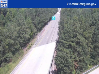
I-95 / MM 046.8 / NB
Richmond, VA ·

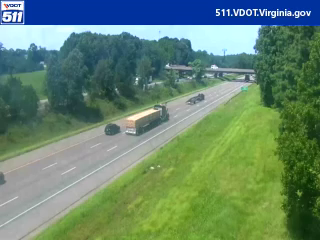
I-95 NB MM 104.4 at Carmel Church Exit
Richmond, VA
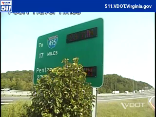
I-95 / MM 153.0 / NB
Fairfax, VA ·
Rest Stops Along Your Route
76 stops available
Swipe to see moreShowing 1-2 of 76

Get Weather Alerts for This Route
We'll notify you when conditions change before your trip. Never drive into a surprise storm again.
⚡ Recent Weather Events on This Route
Premium users received alerts for these conditions:
- 🌧️Aug 11: Rain advisory for afternoon departures
- ❄️Aug 9: Snow expected at higher elevations - consider earlier departure
- 🌫️Aug 6: Dense fog warning for morning travel
Don't miss the next alert →
Driving from Myrtle Beach, SC to New York, NY covers 721 miles in roughly 12h 4m of drive time, crossing state lines. We track 12 live traffic cameras, 76 rest areas and 2 active weather alerts along this corridor so you can plan around them. On a drive this length, weather can change dramatically between stops. Use the segment-by-segment forecast below to time your route.
7-Day Driving Outlook
Today
Aug 13
87° / 74°
17% precip
Tomorrow
Aug 14
89° / 77°
30% precip
Sat
Aug 15
94° / 80°
47% precip
Sun
Aug 16
93° / 80°
22% precip
Mon
Aug 17
101° / 81°
7% precip
Tue
Aug 18
99° / 80°
30% precip
Wed
Aug 19
94° / 77°
30% precip
🗓️ Weekend Outlook
Saturday
Good to Go🌧️ Moderate drizzle at origin, ☁️ Overcast at destination
Sunday
Use Caution⚠️ Hazardous conditions expected - Thunderstorm
Plan This Route
Get hour-by-hour weather forecasts, real-time traffic, and find the optimal departure time.
🚗 Live traffic included
See if current slowdowns affect your drive time
Free • No sign-up required
Current Conditions
Myrtle Beach, SC
76°F
Wind: 3 mph
New York, NY
72°F
Wind: 6 mph
Weather data updated in real-time
Driving from Myrtle Beach, SC to New York, NY
Beginning your journey from the sandy beaches of Myrtle Beach, you'll head north on US Route 17 before connecting to Interstate 95, the major artery that will carry you for most of this 721-mile trek to New York City. From South Carolina through North Carolina, Virginia, Maryland, and into the Northeast Corridor, I-95 is your primary corridor, though you may also utilize portions of I-81 or alternate routes depending on traffic conditions and your preferred path. The final stretch into New York typically involves navigating the increasingly congested highways around the New Jersey metropolitan area before entering the city itself, where surface streets and local roads take over. This route generally takes about 12 hours of driving time under ideal conditions, though you should plan for longer if you're traveling during peak seasons or through major urban centers.
As you travel northward, you'll notice gradual but significant changes in terrain and landscape. The flat, coastal plains of South Carolina give way to the slightly rolling Piedmont region as you move through the Carolinas and into Virginia. The most dramatic elevation changes occur around the Blue Ridge area in Virginia, where you may see the landscape become more mountainous before flattening again through Maryland and into the Mid-Atlantic. You'll pass through or near several significant cities including Fayetteville, North Carolina; Richmond, Virginia; and Washington, D.C., which means navigating some substantial urban congestion, particularly around the I-95/I-81 interchange in Virginia and through the Baltimore-Washington corridor.
The drive is best undertaken in spring or early fall when moderate temperatures and lower traffic volumes make the journey more pleasant, especially through the urban stretches. Summer travel brings increased tourist traffic heading to and from beach destinations, while winter conditions through the mid-Atlantic region can introduce unpredictable hazards. The route alternates between rural, forested sections—particularly through the Carolinas and into Virginia—and densely populated urban areas, so prepare for varying driving conditions and plan your stops accordingly at rest areas and small towns along I-95.
The 721-mile drive from Myrtle Beach, South Carolina to New York, New York takes approximately 12h 4m under normal conditions. Weather along this route can vary significantly, especially along coastal regions where fog and marine weather can impact visibility. Route Outlook helps you find the safest time to travel by showing you weather conditions at every point along your route, timed to when you'll actually be there.
Common Weather Hazards on This Route
- Winter storms and heavy snowfall (November through April)
- Black ice on mountain passes and bridges
- Hurricane and tropical storm impacts (June through November)
Seasonal Driving Considerations
Coastal weather on this route can shift quickly. Marine fog is common during morning hours, especially in spring and fall, reducing visibility to near zero. Hurricane season (June through November) can bring extended road closures and dangerous conditions. During fair weather, coastal routes offer scenic driving — but always verify conditions with live traffic cameras before heading out.
Best Time to Drive Myrtle Beach to New York
For long drives like this 721-mile journey, planning is essential. Consider breaking the trip into segments if weather looks challenging. The best approach is to check conditions for multiple departure times using Route Outlook's optimizer, which considers weather at each point when you'll actually be there.
Driving Strategy
Covering 721 miles from Myrtle Beach to New York is a full-day or multi-day drive that requires advance planning. Break the route into manageable segments, planning fuel and rest stops every 2-3 hours. Weather that looks fine at departure may deteriorate significantly at the midpoint. Consider booking overnight accommodation if the forecast shows deteriorating conditions in the latter half. Route Outlook's segment-level weather data helps you identify exactly where and when conditions will change.
Pro Tip
Use Route Outlook's departure optimizer to find the best time to leave. Our 4D trajectory engine considers weather at each point along your route at the exact time you'll be there — not just at your destination. It also integrates live data from traffic cameras, DOT 511 feeds, and road weather sensors.
Frequently Asked Questions
How long is the drive from Myrtle Beach to New York?
The drive is approximately 721 miles and takes about 12h 4m under normal traffic and weather conditions. Severe weather can add significant time to your trip.
What's the best day to drive this route?
Based on current forecasts, Tuesday, Aug 18 looks ideal. Low chance of precipitation with manageable conditions
Is it safe to drive from Myrtle Beach to New York today?
Current conditions show medium risk along this route. Conditions look favorable for travel. Always stay alert and adjust speed for changing conditions.
Are there rest areas on the Myrtle Beach to New York route?
Yes, there are 76 rest areas along this route. Facilities include restrooms, parking, and in some cases picnic areas and vending machines. Rest stops are spaced throughout the drive, so you'll never be too far from a break.
Can I see live traffic cameras on this route?
Yes, Route Outlook shows 12 live traffic cameras along this route, sourced from state DOT feeds. You can check road visibility, traffic flow, and pavement conditions in real time before and during your drive.
What highways does this route use?
This route primarily uses SC 31, US-17, US-50, I-95. Conditions can vary between highway segments, so check live camera feeds and road condition reports for each stretch before departing.
Are there any road closures on this route right now?
No significant incidents or road closures are currently reported along this route. Conditions can change quickly — this page updates automatically with the latest data from state DOT 511 systems.
Related Driving Guides
10 Essential Winter Driving Tips for Long Road Trips
Planning a winter road trip? Here are the essential safety tips to help you navigate snow, ice, and cold weather conditions.
🧊Black Ice: The Invisible Killer on Winter Roads
Black ice forms when rain or melting snow refreezes on cold road surfaces. Here's how to spot the conditions that create it.
🛡️Road Safety Features: Real-Time Conditions for Your Route
Real-time traffic incidents from 12 states, highway message signs, road conditions, and 25,000+ traffic cameras--integrated into your route planning.
Explore More Routes
More routes from Myrtle Beach
More routes to New York
Similar-distance drives
More routes starting in SC
Don't Drive Blind Into Weather
Route Outlook shows you conditions at every point along your route—at the exact time you'll be there.
Open Planner