
Wilmington, NC → Cary, NC
154 mi · 2h 34m (driving)
Current Risk
High Risk
Freeze Warning in effect — consider delaying
Get an email if snow, ice or storms hit this route before you leave.
Free. One email to confirm, then only when conditions change. Unsubscribe in one click.
Wilmington
49°
Sampson County
50°
Sampson County
49°
Cary
47°
Trip Briefing
3 segments · 154 mi · 2h 34m
Weather
☀️ Clear sky
50°F, wind 8 mph
Rest Stops
1
Truck svc
Cameras
1 live
Clear driving conditions expected
Rest stops in this segment:
- ● Rest Area
Hazards Ahead
2 road closures may affect your route · 19 construction zones on route
19 Construction Zones on Route
Wrightsville Ave: Construction from Independence Blvd to French Rd. All Lanes Intermittent.
US-117: Construction in New Hanover, Pender County from Cape Fear River Bridge to St. Helena Village Limits. All Lanes Intermittent.
US-117: Maintenance from Lily Ln to Oak Tree Rd. All Lanes Intermittent.
US-117: Construction from I-40 Off Ramp at 117 to Duplin Pender County Line. All Lanes Intermittent.
US-117: Construction from Rose Hill Town Limits to Magnolia Town Limits. All Lanes Intermittent.
JB Stroud Rd: Construction from NC 11 to Tracy Brown Rd. All Lanes Intermittent.
+ 13 more zones along the route — see map for full list
Traffic Cameras
See recent road conditions along your route
Images are snapshots updated periodically by state DOTs. Timestamps shown in images indicate when each photo was captured.
Choose your route:
Selected Route
Via US-17 → US-76 → US-421 → I-140 East → I-40 West
Cameras shown are along this computed route
Need a custom route?
CCTV03-I140-14S_US421
New Hanover, NC ·

CCTV04-I40-314E
Johnston, NC ·

CCTV04-I40-313W_CLEVELAND
Wake, NC ·

CCTV04-I40-312E_NC42
Johnston, NC ·

CCTV04-I40-311E
Johnston, NC ·
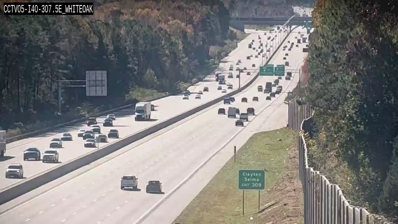
CCTV05-I40-307.5E_WHITEOAK
Wake, NC ·

CCTV05-I40-307W
Wake, NC ·

CCTV05-I40-306W_US70BUS
Wake, NC ·
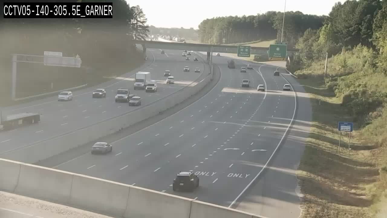
CCTV05-I40-305.5E_GARNER
Wake, NC ·
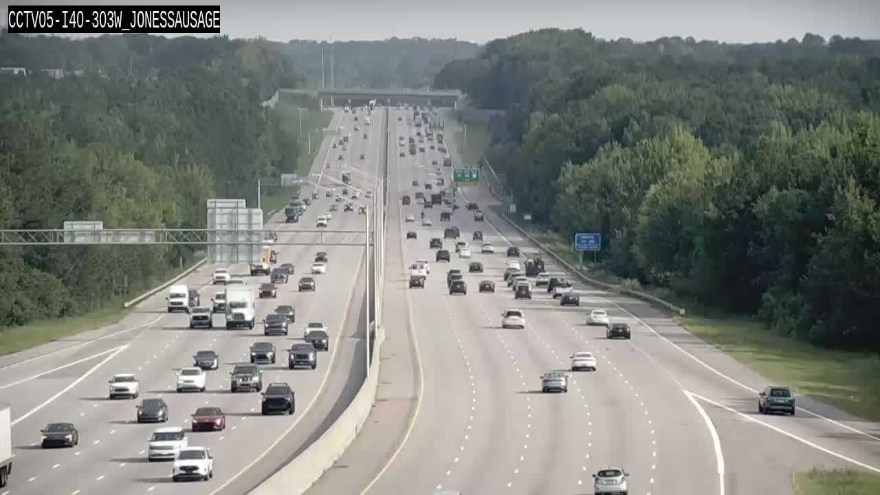
CCTV05-I40-303W_JONESSAUSAGE
Wake, NC ·
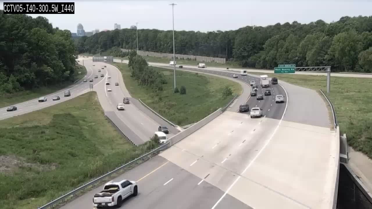
CCTV05-I40-300.5W_I440
Wake, NC ·
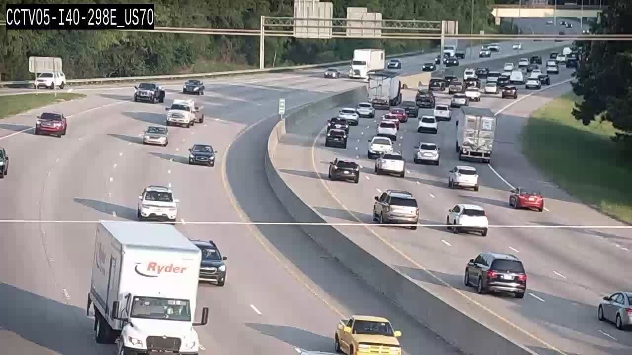
CCTV05-I40-298E_US70
Wake, NC ·
Live traffic on this route
Cameras, crashes and closures right now on the highways this drive uses.
Rest Stops Along Your Route
7 stops available
Swipe to see moreShowing 1-2 of 7

Sponsor
Get Weather Alerts for This Route
We'll notify you when conditions change before your trip. Never drive into a surprise storm again.
⚡ Recent Weather Events on This Route
Premium users received alerts for these conditions:
- 🌧️Nov 12: Rain advisory for afternoon departures
- ❄️Nov 10: Snow expected at higher elevations - consider earlier departure
- 🌫️Nov 7: Dense fog warning for morning travel
Don't miss the next alert →
The 154-mile half-day drive from Wilmington to Cary stays within NC and takes about 2h 34m without stops. We track 12 live traffic cameras, 7 rest areas, 2 reported incidents and 2 active weather alerts along this corridor so you can plan around them. A trip this short usually fits in a single morning or afternoon — check the live conditions just before you head out.
7-Day Driving Outlook
Today
Nov 14
57° / 49°
No precip
Tomorrow
Nov 15
56° / 38°
No precip
Mon
Nov 16
56° / 40°
No precip
Tue
Nov 17
59° / 40°
No precip
Wed
Nov 18
64° / 43°
No precip
Thu
Nov 19
69° / 46°
No precip
Fri
Nov 20
70° / 49°
No precip
🗓️ Weekend Outlook
Saturday
Good to Go☀️ Clear sky at origin, 🌤️ Mainly clear at destination
Sunday
Good to Go☀️ Clear sky at origin, ⛅ Partly cloudy at destination
Plan This Route
Get hour-by-hour weather forecasts, real-time traffic, and find the optimal departure time.
🚗 Live traffic included
See if current slowdowns affect your drive time
Free • No sign-up required
Current Conditions
Wilmington, NC
49°F
Wind: 11 mph
Cary, NC
47°F
Wind: 10 mph
Weather data updated in real-time
Driving from Wilmington, NC to Cary, NC
Your drive from Wilmington to Cary follows a straightforward northwesterly path that takes you from North Carolina's coastal plains into the heart of the Piedmont region. You'll begin by heading north on US-17, which carries you away from the Atlantic and through the flat, tree-lined landscapes of southeastern North Carolina for roughly the first 60 miles. Once you reach the Goldsboro area, you'll merge onto I-95 North, the major north-south corridor that forms the backbone of this route. From I-95, you'll eventually transition onto I-40 West near the Raleigh area, which delivers you directly into Cary—a total journey of approximately 154 miles that typically takes around two hours and thirty-four minutes under normal conditions.
The terrain and landscape shift noticeably as you progress through this route, reflecting the dramatic geographic transition across North Carolina. The opening stretch through the Coastal Plain is remarkably flat, with expansive pine forests, agricultural fields, and occasional swampy areas that characterize the region's natural environment. As you approach the Piedmont around Raleigh, the terrain gradually becomes more rolling and the elevation increases slightly, though the changes are subtle rather than dramatic. You'll notice the landscape becoming more developed and suburban as you approach the Research Triangle area, with increasing evidence of urban sprawl and commercial development marking your entry into the Raleigh-Cary metropolitan region.
The drive passes through or near several notable North Carolina communities that break up the journey nicely. Goldsboro serves as a natural halfway checkpoint where you transition from US-17 to I-95, while Raleigh proper sits just east of your final destination, offering familiar landmarks and signs that you're approaching the journey's end. The Research Triangle region—formed by Raleigh, Durham, and Chapel Hill—creates a notable shift in the landscape and traffic patterns as you enter this economically vibrant area.
This route is most pleasant during spring and fall, when temperatures are moderate and visibility is excellent. Summer driving can be muggy and occasionally interrupted by afternoon thunderstorms typical of the Carolina lowlands, while winter rarely presents serious challenges, though occasional ice on I-95 can complicate matters. The drive is fairly straightforward and suitable for any season, making it a
The 154-mile drive from Wilmington, North Carolina to Cary, North Carolina takes approximately 2h 34m under normal conditions. Weather along this route can vary significantly, especially along coastal regions where fog and marine weather can impact visibility. Route Outlook helps you find the safest time to travel by showing you weather conditions at every point along your route, timed to when you'll actually be there.
Common Weather Hazards on This Route
- Hurricane and tropical storm impacts (June through November)
Seasonal Driving Considerations
Coastal weather on this route can shift quickly. Marine fog is common during morning hours, especially in spring and fall, reducing visibility to near zero. Hurricane season (June through November) can bring extended road closures and dangerous conditions. During fair weather, coastal routes offer scenic driving — but always verify conditions with live traffic cameras before heading out.
Best Time to Drive Wilmington to Cary
For shorter trips like this 154-mile drive, morning departures typically offer the best conditions with lighter traffic and better visibility. Avoid rush hour periods (7-9 AM and 4-7 PM) if possible.
Driving Strategy
At 154 miles, the Wilmington to Cary drive is short enough to complete in a single stretch. Still, check conditions along the route before you leave — a quick glance at live traffic cameras can confirm road visibility and surface conditions. If bad weather is forecasted for a narrow window, adjusting your departure by even an hour can make a significant difference in safety.
Pro Tip
Use Route Outlook's departure optimizer to find the best time to leave. Our 4D trajectory engine considers weather at each point along your route at the exact time you'll be there — not just at your destination. It also integrates live data from traffic cameras, DOT 511 feeds, and road weather sensors.
Frequently Asked Questions
How long is the drive from Wilmington to Cary?
The drive is approximately 154 miles and takes about 2h 34m under normal traffic and weather conditions. Severe weather can add significant time to your trip.
What's the best day to drive this route?
Based on current forecasts, Friday, Nov 20 looks ideal. Clear conditions expected along the entire route
Is it safe to drive from Wilmington to Cary today?
Current conditions show high risk along this route. Conditions look favorable for travel. Always stay alert and adjust speed for changing conditions.
Are there rest areas on the Wilmington to Cary route?
Yes, there are 7 rest areas along this route. Facilities include restrooms, parking, and in some cases picnic areas and vending machines. Rest stops are spaced throughout the drive, so you'll never be too far from a break.
Can I see live traffic cameras on this route?
Yes, Route Outlook shows 12 live traffic cameras along this route, sourced from state DOT feeds. You can check road visibility, traffic flow, and pavement conditions in real time before and during your drive.
What highways does this route use?
This route primarily uses I-140 East, I-40 West. Conditions can vary between highway segments, so check live camera feeds and road condition reports for each stretch before departing.
Are there any road closures on this route right now?
There are currently 2 active incidents along this route that may affect your drive. Check the incident details above for specific locations and expected durations.
Related Driving Guides
Discover Hidden Road Trip Gems Near You
You don't need a week off to have an adventure. Discover weekend getaways and day trips within driving distance--personalized to your location.
📍A Practical Guide to Saving Routes and Monitoring Conditions
How to save frequent drives, track conditions on commutes and family trips, get alerts for bad weather, and find new routes from any city.
⏰Finding the Safest Time to Drive: A Data-Driven Approach
Learn how 4D trajectory analysis can help you find the optimal departure time to avoid dangerous weather and traffic.
Road Trip Guides Through This Area
Great Smoky Mountains Circuit
America's Most Visited National Park and Beyond
Blue Ridge Parkway: Shenandoah to Great Smoky Mountains
America's Favorite Drive Through the Appalachians
Outer Banks: North Carolina's Barrier Islands
Wild Horses, Shipwrecks, and the Birthplace of Flight
Explore More Routes
More routes from Wilmington
More routes to Cary
Similar-distance drives
More routes starting in NC
Don't Drive Blind Into Weather
Route Outlook shows you conditions at every point along your route—at the exact time you'll be there.
Open Planner